Povile
Region: North Adriatic
| Position: 45.115, 14.823333 | Adriatic Sea / Jadransko more
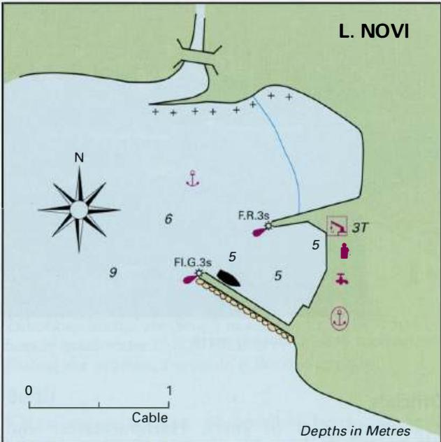
45°06'.9N 14°49'-4E Charts BA 2719, MK 7, lmray M24 There is a small crowded harbour at Povile, a holiday village 1 .6M east-southeast of Luka Novi. The harbour and bay are used by campers from the holiday camp on the small promontory to the E. Povile is not recommended for visiting yachts, but if overtaken by a bora, it is possible to enter the ba
General
45°06'.9N 14°49'-4E Charts BA 2719, MK 7, lmray M24 There is a small crowded harbour at Povile, a holiday village 1 .6M east-southeast of Luka Novi. The harbour and bay are used by campers from the holiday camp on the small promontory to the E. Povile is not recommended for visiting yachts, but if overtaken by a bora, it is possible to enter the bay to seek shelter. Anchor in 10-12m just W of the harbour and take lines ashore. Note that a rocky spit extends underwater in a S direction from the NW shore W of the harbour. Luka Novi (Novi Vinodolski)
Adriatic Navigation Guide Images for Povile
Adriatic Navigation Guide images and captions provide additional visual reference for this navigation location.