Professional navigation chart centered on Porto Recanati
Porto Recanati
Region: Central Adriatic
| Position: 43.436667, 13.666667 | Adriatic Sea / Jadransko more
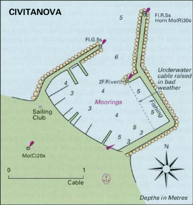
43°26'-2N 13°40'E Charts BA 220, 200 Porto Recanati is not a harbour, as its name would seem to indicate. There is a pier here with shallow depths alongside, but nothing else. The lights on the pier have been discontinued. Civitanova
General
43°26'-2N 13°40'E Charts BA 220, 200 Porto Recanati is not a harbour, as its name would seem to indicate. There is a pier here with shallow depths alongside, but nothing else. The lights on the pier have been discontinued. Civitanova
Adriatic Navigation Guide Images for Porto Recanati
Adriatic Navigation Guide images and captions provide additional visual reference for this navigation location.
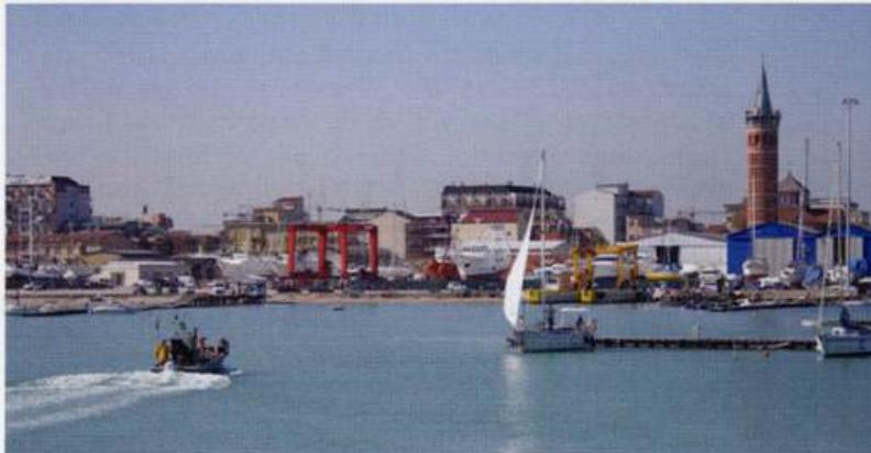
The main light at Civitanova is exhibited from the tall circular tower, which overlooks the boat yards and yacht berths