Professional navigation chart centered on Porto Badisco and Porto Miggiano
Porto Badisco and Porto Miggiano
Region: South Adriatic
| Position: 40.03, 18.45 | Adriatic Sea / Jadransko more
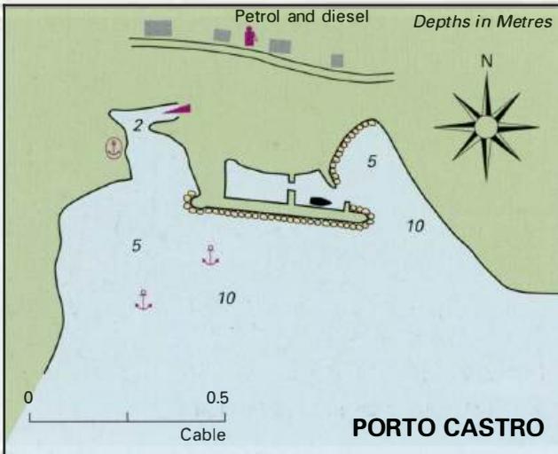
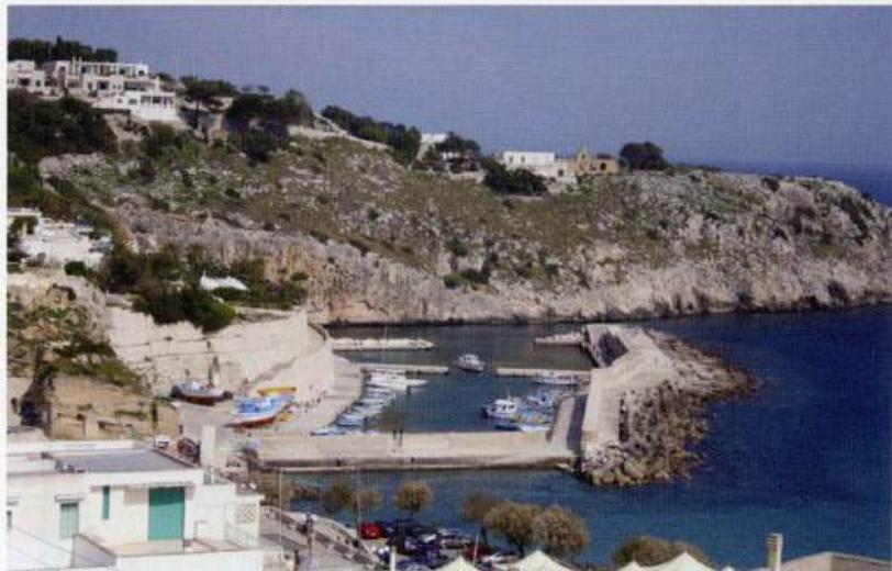
Porto Badisco 40°04" 7N 18°29'E Porto Miggiano 40°01'.8N 18°27'E Charts BA 187, 188 Porto Badisco, 2YzM southwest of Capo d'Otranto, and Porto Miggiano, 5YzM southwest of Capo d'Otranto, are two small shallow coves used by local craft. Depths within the coves and lack of room make them unsuitable for visiting yachts. Not recommended. Porto Castro
General
Porto Badisco 40°04" 7N 18°29'E Porto Miggiano 40°01'.8N 18°27'E Charts BA 187, 188 Porto Badisco, 2YzM southwest of Capo d'Otranto, and Porto Miggiano, 5YzM southwest of Capo d'Otranto, are two small shallow coves used by local craft. Depths within the coves and lack of room make them unsuitable for visiting yachts. Not recommended. Porto Castro
Adriatic Navigation Guide Images for Porto Badisco and Porto Miggiano
Adriatic Navigation Guide images and captions provide additional visual reference for this navigation location.