Polignano
Region: South Adriatic
| Position: 41.003333, 17.208333 | Adriatic Sea / Jadransko more
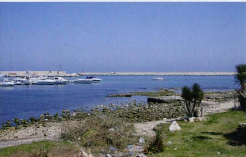
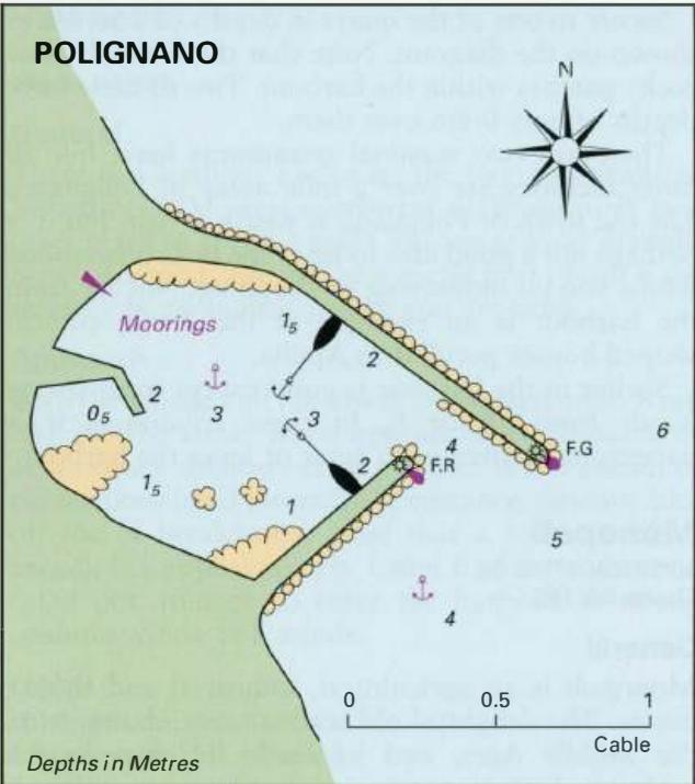
41°00'.2N 17°12".5E Charts BA 186 A small harbour has been built about a mile from the town of Polignano. During the day in the summer it is popular with swimmers and the speedboat brigade, but it is deserted in the evenings and out of season. Approaching from north the monastery at San Vito, on the shore 0.6M northwest of the harbour is conspicuou
General
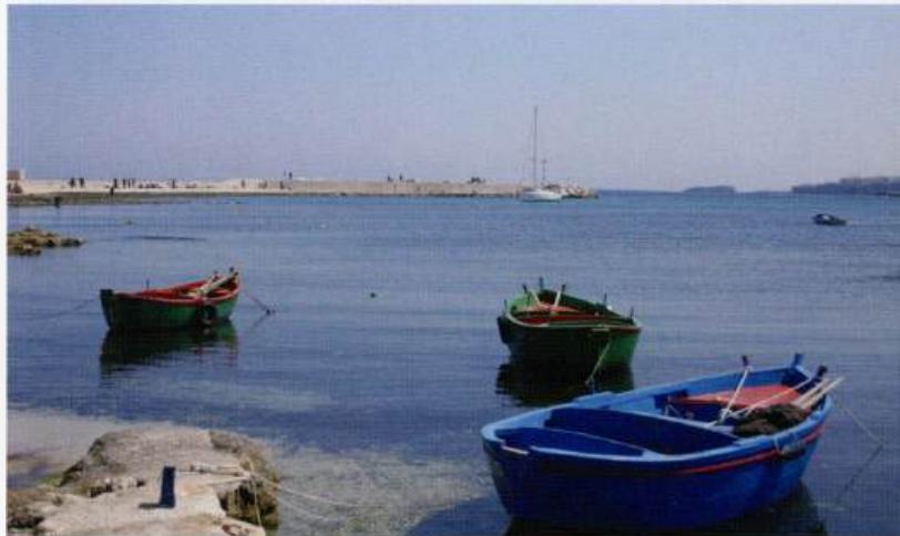
41°00'.2N 17°12".5E Charts BA 186 A small harbour has been built about a mile from the town of Polignano. During the day in the summer it is popular with swimmers and the speedboat brigade, but it is deserted in the evenings and out of season. Approaching from north the monastery at San Vito, on the shore 0.6M northwest of the harbour is conspicuous. From south the town of Polignano, 0.8M southeast of the harbour, is conspicuous due to it being perched on the edge of the cliffs. There is a small unlit island about M east of the town of Polignano. The harbour is not visible until you are quite close to it. The mole heads are lit, F.G.8m3M and F.R.8m3M. The yacht is anchored close to the entrance in Polignano harbour 5.3 Italy: Barletta to Santa Maria di Leuca Secure to one of the quays in depths of 1 to 4m as shown on the diagram. Note that there are shallow rocky patches within the harbour. Two of these have depths of only O.Sm over them. There are two seasonal restaurants here, but all other facilities are over a mile away in Polignano. The old town of Polignano is worth a visit, but it is perhaps not a good idea to leave the boat unattended whilst you go sightseeing or shopping. Not far from the harbour is an example of the Trulli, conical shaped houses peculiar to Apulia. Shelter in the harbour is good except from strong winds from SE or E. In these conditions it is dangerous to attempt to enter or leave the harbour. Monopoli