Pirovac
Region: Central Adriatic
| Position: 43.816667, 15.67 | Adriatic Sea / Jadransko more
43°49'N 15°40"2E Charts BA 2711, SC 5767, MK 14, lmray M25 The small fishing and agricultural village of Pirovac dates from the 13th century. Its old name was Zloselo, and it only acquired its present name during the period between the two world wars. The change in name is not surprising, since Zloselo means Evil Village, a name, which was possibly
General
43°49'N 15°40"2E Charts BA 2711, SC 5767, MK 14, lmray M25 The small fishing and agricultural village of Pirovac dates from the 13th century. Its old name was Zloselo, and it only acquired its present name during the period between the two world wars. The change in name is not surprising, since Zloselo means Evil Village, a name, which was possibly coined by the Turks. Parts of the defensive wall, which was built in the 16th century to protect the village from Turkish raids, still exist. Every summer the village hosts a festival.
Approach
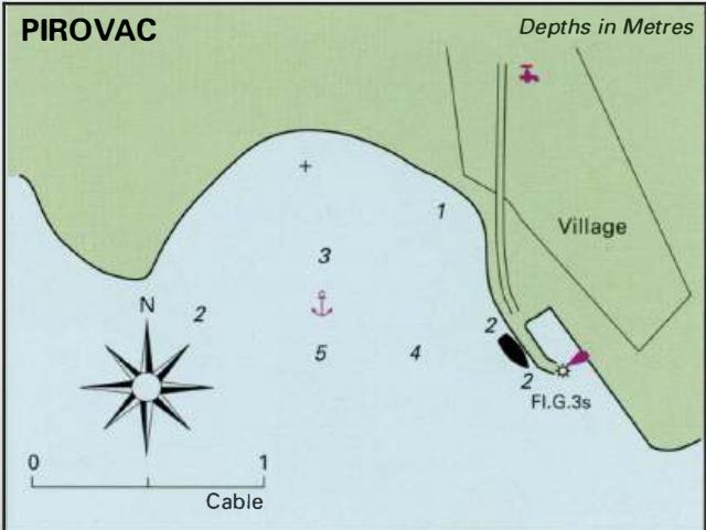
There are no dangers in the immediate approach to Pirovac.
Lights
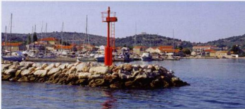
Fl.G.3s6m3M exhibited from the S end of the quay.
Berth
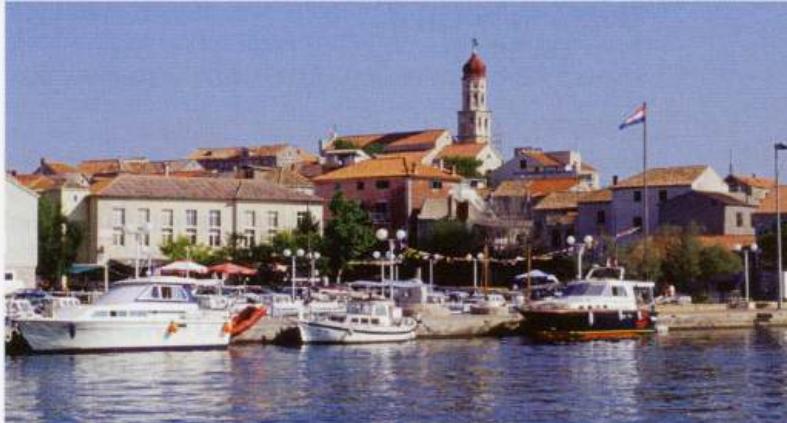
The tiny basin is crowded with small craft. Tie up alongside the quay, just N of the harbour light. There is 2m depth alongside the quay here. Top Betina harbour where visitors can lie alongside the central pier Above The entrance to Marina Betina Anchor Anchor W of the quay in Sm. The bottom is sand and weed.
Shelter
Good from N and E. Winds from other directions make the berth alongside uncomfortable.
Facilities
Water tap in the village. Several grocers, supermarket, butcher, baker, and a fruit and vegetable market. Pharmacy and medical centre. Post Office and telephones. ATM. Tourist information, cafe/bars and restaurants. Bus service to Sibenik and Zadar. Mechanic. Uvala Vela Luka