Otocic Ravni Zakan
Region: Central Adriatic
| Position: 43.725, 15.436667 | Adriatic Sea / Jadransko more
43°43'.5N 15°26'.2E Charts BA 277 7, SC 5767, MK 7 5, lmray M25 OtoCic Ravni Zakan is the name of the island lying SW of the most S point of Otok Kornat, between 0. Skulj to the E and 0. Lunga to the W. Ravni Zakan continues to be listed as a summer port of entry in the official Tourist Information guide (2007), but over the years yachtsmen have re
General
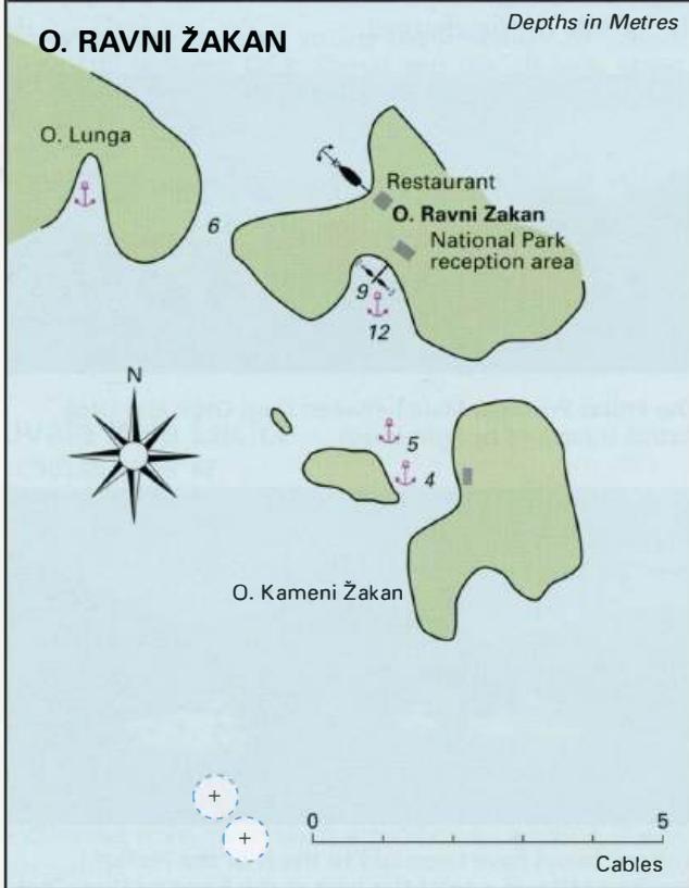
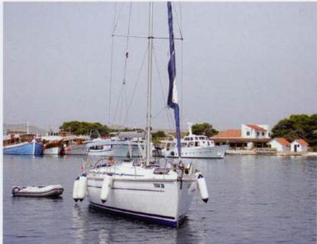
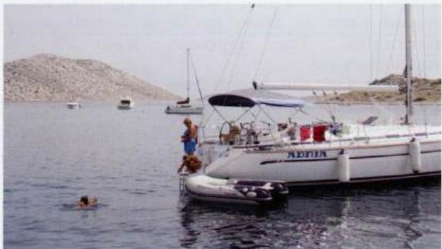
43°43'.5N 15°26'.2E Charts BA 277 7, SC 5767, MK 7 5, lmray M25 OtoCic Ravni Zakan is the name of the island lying SW of the most S point of Otok Kornat, between 0. Skulj to the E and 0. Lunga to the W. Ravni Zakan continues to be listed as a summer port of entry in the official Tourist Information guide (2007), but over the years yachtsmen have reported difficulties completing the necessary formalities here. It is therefore advisable to use another port of entry if possible. There are no navigation lights, and so approach should only be undertaken during daylight. Approaching from S beware of the dangerous rocks, which lie approximately 4 cables SW of OtoCic Kameni Zakan, and Hrid Volic, which lies approximately 6 cables farther S. On the S side of the island there is a pier. It is possible to tie up bow/stern-to the pier (although finding space amongst the tripping boats and power boats may not be easy!) or alternatively anchor S of it in lOm, sand. Ashore there is the reception area for the Kornati National Park, a telephone, toilets, and a restaurant. This bay is a popular place in the summer. The pier at Ravni Zakan is usually fully occupied by tripping boats. It is therefore better to anchor and row ashore if you want to visit the National Park Reception office or one of the restaurants There is a spacious anchorage S of Ravni Zakan with clean water for swimming It is possible to anchor in the bay on the NW side of the island, which is sheltered from the sirocco. S of 0. Ra vni Zakan there is another anchorage in the bay formed by the two islands lying to the S. Anchor here in 4m, sand. There is a cottage on the shore. Otok Lunga