Region: Central Adriatic
| Position: 43.44, 16.7 | Adriatic Sea / Jadransko more
43°26'-4N 16°42'E Charts BA 2712, SC 5767, MK 18, lmray M26 The busy town of Omis lies at the mouth of the river Cetina, which flows through a spectacular gorge. Every year, at the end of July, the town hosts a Dalmatian folk singing festival. Visiting yachts can tie up in the harbour to the E of the river, or in the river itself. Omis was inhabite
General
43°26'-4N 16°42'E Charts BA 2712, SC 5767, MK 18, lmray M26 The busy town of Omis lies at the mouth of the river Cetina, which flows through a spectacular gorge. Every year, at the end of July, the town hosts a Dalmatian folk singing festival. Visiting yachts can tie up in the harbour to the E of the river, or in the river itself.
History
Omis was inhabited in Roman times when it was called Oneum. The area around the town was fortified in the Middle Ages and some of the fortifications, including parts of the wall, the south gate, and the fort on the hill, still survive. There are also several interesting churches in the town and a local museum. For several centuries, Omis was a pirate stronghold, provoking extreme annoyance to neighbouring cities such as Split and Dubrovnik, as well as to Venice. Dugi Rat (Uvala Orisac)
Adriatic Navigation Guide Images for Omis
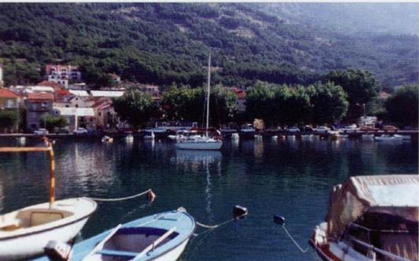
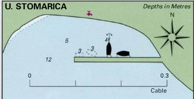
Adriatic Navigation Guide images and captions provide additional visual reference for this navigation location.