Novalja
Region: North Adriatic
| Position: 44.555, 14.886667 | Adriatic Sea / Jadransko more
44°33'.3N 14°53'.2E Charts BA 575, 202, MK 9, lmray M25 Novalja is a small holiday town in a bay on the W coast of Otok Pag, towards the N end of the island. Shoals extend up to 2 cables offshore from the shoreline on both sides of the approach to Novalja, and off the shores of the bay itself. When the church and Post Office tower can be identified
General
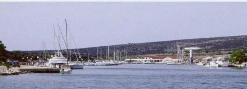
44°33'.3N 14°53'.2E Charts BA 575, 202, MK 9, lmray M25 Novalja is a small holiday town in a bay on the W coast of Otok Pag, towards the N end of the island.
Approach
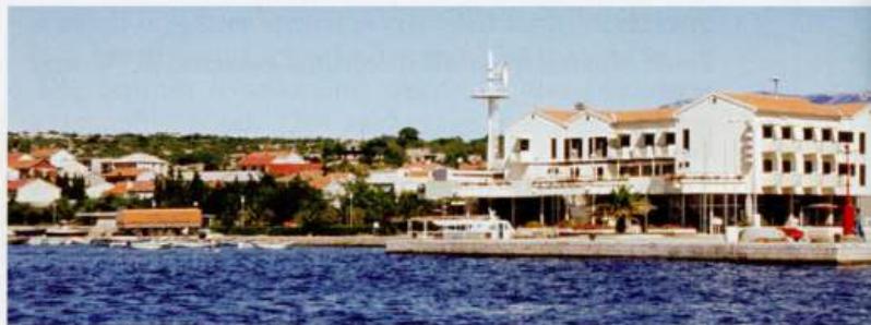
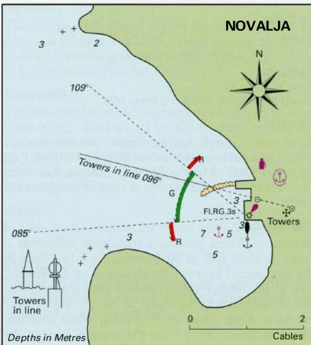
Shoals extend up to 2 cables offshore from the shoreline on both sides of the approach to Novalja, and off the shores of the bay itself. When the church and Post Office tower can be identified, in line they lead into the bay on a safe bearing of 096°. At night the green sector of the harbour light leads clear of the dangers.
Lights
Novalja harbour Fl.RG.3s7m3M 085°-G-109°-R-085°
Berth
Anchor SW of the harbour pier near the moored boats in 5-7m. Alternatively, secure to the quay near the light structure.
Shelter
Good shelter from all but W, NW and SW winds.
Officials
Harbourmaster. Police.
Facilities
Petrol and diesel are available from the fuel berth (depths of 1 .5m alongside) on the N side of the harbour. Fuel is available between 0600 and 2200. No public water tap. There is a selection of shops including a supermarket and a butcher. Fruit and vegetable market. Pharmacy and medical centre. Post Office, telephones, bank, ATM, internet cafe. Tourist information, hotels, restaurants and several cafe/bars.
History
Novalja stands on the site of a Roman naval port. Various remains from this period have survived including walls, foundations, and an underground water supply. Uvala Jakisnica