Muggia
Region: North Adriatic
| Position: 45.606667, 13.766667 | Adriatic Sea / Jadransko more
45°36'-4N 13°46'E Charts BA 7477, 1473 (detailed), MK 7, lmray M24 Muggia is an attractive small town lying across the bay to the S of Trieste. Most essentials are readily available. The local yacht club has berths on the W side of the harbour. The small inner harbour is used by shallow-draught fishing boats. Muggia lies on the south side of the Ba
General
45°36'-4N 13°46'E Charts BA 7477, 1473 (detailed), MK 7, lmray M24 Muggia is an attractive small town lying across the bay to the S of Trieste. Most essentials are readily available. The local yacht club has berths on the W side of the harbour. The small inner harbour is used by shallow-draught fishing boats.
Approach
Muggia lies on the south side of the Baia di Muggia, 2M east of Punta Sottile. Three isolated harbour breakwaters lie in the approach to the Baia di Trieste
Adriatic Navigation Guide Images for Muggia
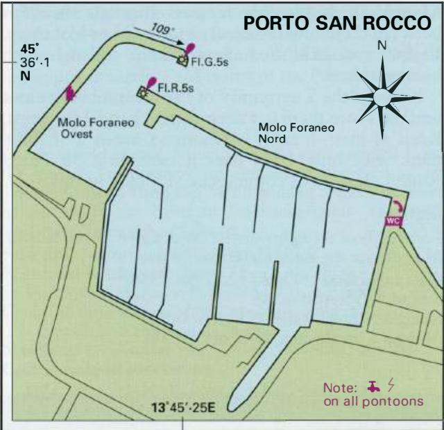
Adriatic Navigation Guide images and captions provide additional visual reference for this navigation location.