Region: Central Adriatic
| Position: 43.403333, 16.811667 | Adriatic Sea / Jadransko more
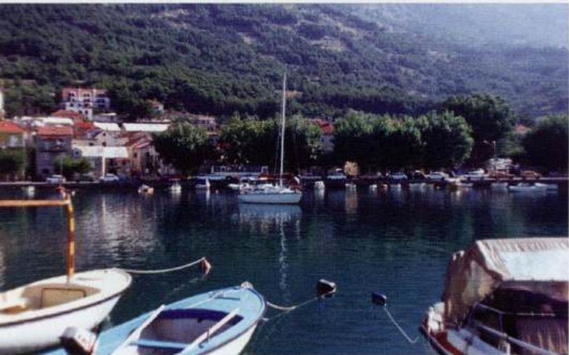
43°24'.2N 16°48'.7E Charts BA 1574, SC 5767, MK 18, lmray M26 The small settlement of Mimice lies on the N side of the Bracki Kanai. It has a small crowded harbour, where it is possible to obtain a certain amount of shelter. The village, which was founded in the 18th century, caters for a few holidaymakers. Rocks lie close inshore lM east and 7 cab
General
43°24'.2N 16°48'.7E Charts BA 1574, SC 5767, MK 18, lmray M26 The small settlement of Mimice lies on the N side of the Bracki Kanai. It has a small crowded harbour, where it is possible to obtain a certain amount of shelter. The village, which was founded in the 18th century, caters for a few holidaymakers.
Approach
Rocks lie close inshore lM east and 7 cables west of the harbour. A wreck can be seen on these rocks to the W of the harbour off Rt Brcanceva. The main village is on the hillside above the harbour. In the nearer approach, the harbour wall is clearly visible
Lights
Mole head Fl.G.3s6m4M
Berth
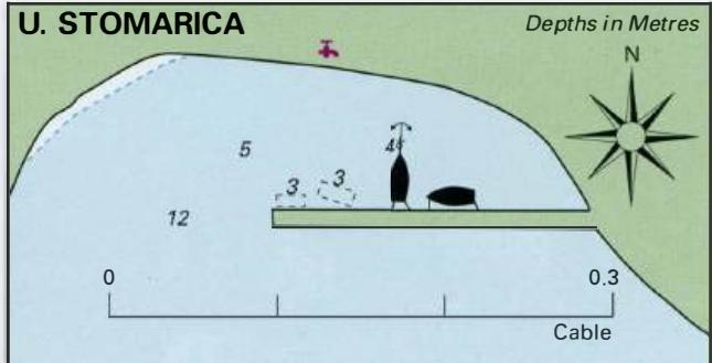
Tie up alongside the breakwater as space allows, or anchor and take a line ashore. Depths alongside the harbour wall range from 3m at the end and in the middle to lm at the root.
Shelter
Although the bora blows strongly here, the harbour offers a secure berth in the summer. Shelter is good from NW through N to SE.
Facilities
Water is available from the tap on the beach shower. General grocery store. Telephone. Several cafe/bars. Tourist information office. Buses pass along the main road above the harbour. Omis
Adriatic Navigation Guide Images for Mi mice
Adriatic Navigation Guide images and captions provide additional visual reference for this navigation location.