Marina Porto Verdi
Region: Central Adriatic
| Position: 43.973333, 12.718333 | Adriatic Sea / Jadransko more
43°58'-4N 12°43'-1 E Charts BA 220, 1467 A marina and a holiday complex have been built just to the SE of Riccione. There are short breakwaters on either side of the marina entrance, which has depths of between 1 .6m and 2.5m. Approach with care because of the shallow depths in this area. The marina facilities include water, electricity, laid lines
General
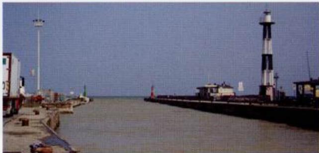
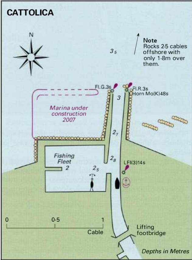
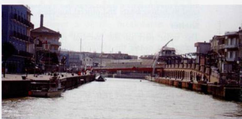
43°58'-4N 12°43'-1 E Charts BA 220, 1467 A marina and a holiday complex have been built just to the SE of Riccione. There are short breakwaters on either side of the marina entrance, which has depths of between 1 .6m and 2.5m. Approach with care because of the shallow depths in this area. The marina facilities include water, electricity, laid lines, toilets, and showers, fuel, chandlery, supermarket, ATM, bars and restaurants. Portoverde: Email [email protected] www.portoverde.net The distinctive main light at Cattolica Cattolica