Mali Ston
Region: South Adriatic
| Position: 42.846667, 17.71 | Adriatic Sea / Jadransko more
42°50'.8N 17°42"6E The small, walled town of Mali Ston is a miniature Dubrovnik, but without the tourists. It lies near the far end of the Kanal Malog Stona on the Pelje5ac peninsula. During the recent war Mali Ston was attacked by the Serbs, and 65% of the houses suffered some kind of damage. Further damage occurred during a series of earthquakes
General
42°50'.8N 17°42"6E The small, walled town of Mali Ston is a miniature Dubrovnik, but without the tourists. It lies near the far end of the Kanal Malog Stona on the Pelje5ac peninsula. During the recent war Mali Ston was attacked by the Serbs, and 65% of the houses suffered some kind of damage. Further damage occurred during a series of earthquakes in 1996. The town is however being restored. There are a number of shrines in the vicinity, dedicated to the memory of people who were killed during the war with the Serbs.
Approach
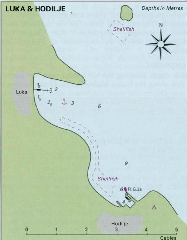
The channel leading up to Mali Ston has a number of rocks and shallow patches on either side, but it is well marked (lit) and is perfectly straightforward to follow. There is a least depth of 3m in the channel. As the town comes into view turn and steer for the harbour wall, avoiding the shell-fishing beds. The harbour is not lit at night. The harbour at Mali Ston is a miniature Dubrovnik harbour. The best berth is close to the tower, but check for fallen masonry in the water near the quay
Lights
The lights in the channel leading to Mali Ston are all Fl.R.2s/Fl.G.2s. There are no lights on the harbour wall itself at Mali Ston.
Berth
Tie up alongside the quay near the tower as shown on the plan, after first checking that the bottom is clear (there are some obstructions in places). Depths alongside are 2-2.5m. Note that the isolated breakwater is foul on the inner side. Anchor Anchor N of the harbour in 4m. The bottom is mud and good holding.
Shelter
This is a well-sheltered area although the bora can blow violently.
Officials
The harbourmaster for Mali Stan has his office in the centre of Stan town.
Facilities
Telephone and post-box at the harbour. Two hotels, restaurant and taverna near the harbour. Other facilities such as food and water are available from Stan, XM away, across the isthmus. Fuel and gas bottle exchange facilities are available from a filling station on the Adriatic Highway, approximately 2M away. Bus service.
History
Human habitation in this area dates back to the Stone Age, but the present town is rather more recent. Mali Stan was founded by the Dubrovnik Republic in 1334. From its beginnings it was planned as a fortified town, was surrounded by walls and towers, and a castle was built on the hillside overlooking the town. A protective wall was then built over the hill behind, linking the towns of Stan and Mali Stan. The harbour was modelled on the old galley port Dubrovnik, and had three arsenals for the warships calling here. There was also a fortified salt store for the salt from Stan. The salt-works at Stan were extremely important for Dubrovnik, accounting for up to two-thirds of Dubrovnik's income. Excursions It is worth climbing the hill behind the town for the view along the Kanai Malog Stana. The castle has a large cistern and water catchment area. It is possible to climb up onto the battlements. A walk to Stan, another picturesque town, is worthwhile (see the entry on Stan). 0. Skrpan anchorage
Adriatic Navigation Guide Images for Mali Ston
Adriatic Navigation Guide images and captions provide additional visual reference for this navigation location.