Professional navigation chart centered on Luka Torkul
Luka Torkul
Region: North Adriatic
| Position: 45.043333, 14.451667 | Adriatic Sea / Jadransko more
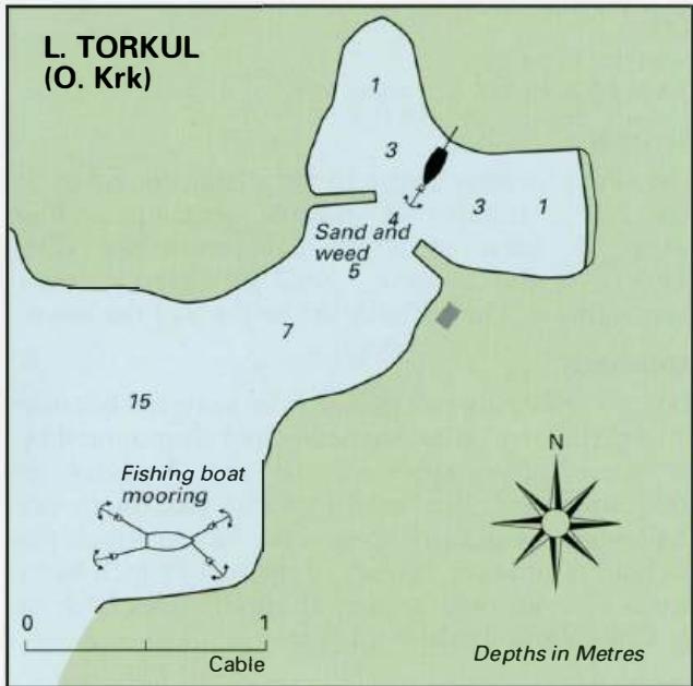
45°02'.6N 14°27"1 E Charts BA 2719, MK 6, lmray M24 Luka Torkul, an inlet on the southwest coast of Otok Krk 1 .9M northwest of the light on Rt Sv. Mikula, provides good shelter from west through north to southeast. There are no dangers in the approach. Anchor and take a line to one of the bollards or piers within the bay. Opposite the cottage on t
General
45°02'.6N 14°27"1 E Charts BA 2719, MK 6, lmray M24 Luka Torkul, an inlet on the southwest coast of Otok Krk 1 .9M northwest of the light on Rt Sv. Mikula, provides good shelter from west through north to southeast. There are no dangers in the approach. Anchor and take a line to one of the bollards or piers within the bay. Opposite the cottage on the E side of Luka Torkul depths of Sm can be found, but farther in beyond the piers depths decrease to 3m and less. There are no facilities here, and the nearest village is some distance away. Uvala Vala Jana
Adriatic Navigation Guide Images for Luka Torkul
Adriatic Navigation Guide images and captions provide additional visual reference for this navigation location.
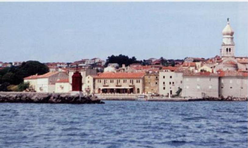
The entrance to Krk harbour. The town walls and belfry are distinctive