Region: Central Adriatic
| Position: 44.353333, 14.778333 | Adriatic Sea / Jadransko more
44°21'.2N 14°46'-7E Charts BA 57 5, MK 9, 11, lmray M25 Luka Sv. Nikola is a bay on the southwest coast of Otok Olib, 1 .6M southeast of Rt Tale. The chapel at the head of the bay is partially obscured by trees, but a cottage on the promontory in the centre of the bay shows up well. There are no dangers in the immediate approach to the bay. If appr
General
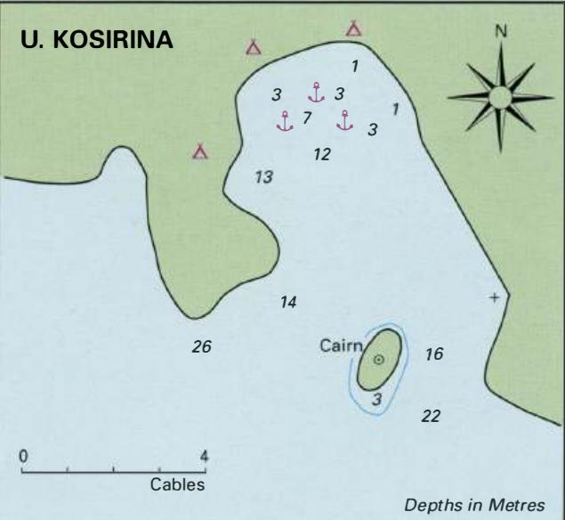
44°21'.2N 14°46'-7E Charts BA 57 5, MK 9, 11, lmray M25 Luka Sv. Nikola is a bay on the southwest coast of Otok Olib, 1 .6M southeast of Rt Tale. The chapel at the head of the bay is partially obscured by trees, but a cottage on the promontory in the centre of the bay shows up well. There are no dangers in the immediate approach to the bay. If approaching from SE beware of shallows extending off the S shore of Otok Olib and the isolated off-lying shoal of PliCina Grifoi Muli. Plicina Grifoi Muli is located approximately S cables S of the southernmost point of Otok Olib and has an unlit buoy on the S side of the shoal. There are a number of bollards in strategic positions around Luka Sv. Nikola for use in a bora. Anchor in the NW part of the bay, in depths of 2 to Sm. The holding in sand and weed is good, although there are patches of stones and weed in parts. If swimming a line ashore beware of the sea urchins there are a lot of them! Luka Sv. Nikola is sheltered Depths in Metres + L. SV. NIKOLA ¢ (0. 0lib) Conspic cottage with solar panels Cables The anchorage at Luka Sv. Nikola, on Otok Olib. A footpath leads from here to the village from W through N to E, but is exposed to winds with any S in them and is dangerous in a sirocco. There are no facilities here, but a footpath leads to the village. OTOK PAG Charts BA 515, 202, MK 9, 10, 12, lmray M25 Otok Pag is a large island approximately 32M long and SM wide at its widest point. It lies close to the mainland shore, separated from it to the SE by a number of channels including the narrow Ljubacka Vrata, and to the E and NE by the Velebitski Kanai. Otok Pag is cut by a number of long inlets most of which run in a NW to SE direction. Otok Pag is mainly limestone, karst rock. Large areas of the island are bare rock, particularly the steep northeast-facing slopes. In certain places where the land is sheltered from the full strength of the winter bora gales there are areas of cultivation. Olives, grapes and vegetables are grown. The island also supports sheep. Pag cheese (Paski Sir), made from ewe's milk, is famous and worth trying. It is delicious. There are traces of Iron Age, Illyrian and Roman remains in various parts of the island. The town of Pag itself is an example of a planned Medieval settlement, which has changed little over the centuries. It is possible to obtain shelter at a number of places on the island. The most important settlement on the island, Pag town, is described first. The other anchorages in the Paski Zaljev are described next, followed by the other harbours and anchorages in clockwise order. Pag