Luka Sv. Martin
Region: North Adriatic
| Position: 44.533333, 14.481667 | Adriatic Sea / Jadransko more
44°32'N 14°28'.9E Charts BA 202, 1426, MK 8, lmray M24 Luka Sv. Martin is a small harbour on the E coast of Otok Losinj. It is not far from the town of Mali Losinj on the other side of the island. The harbour can be distinguished from seaward by the radio aerial situated above the village. Another aerial and belfry can be seen on the skyline to the
General
44°32'N 14°28'.9E Charts BA 202, 1426, MK 8, lmray M24 Luka Sv. Martin is a small harbour on the E coast of Otok Losinj. It is not far from the town of Mali Losinj on the other side of the island.
Approach
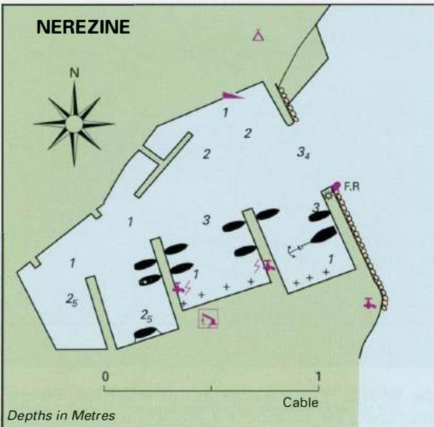
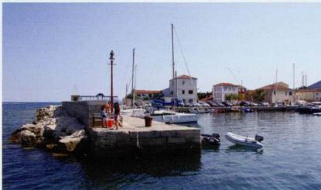
The harbour can be distinguished from seaward by the radio aerial situated above the village. Another aerial and belfry can be seen on the skyline to the W of the village. Other than rocks close to Rt Kijac (the headland on the N side of the bay) there are no other dangers in the approach. Light on end of breakwater F.R.5m3M.
Berth
Secure bow/stern-to the outer harbour wall amongst local boats. There are depths of 4m alongside this wall. The harbour is so full that the best option may be to anchor NW of the harbour in 7m, sand and weed.
Shelter
Shelter is good from all directions except the bora (NE), which can make the harbour dangerous.
Facilities
A restaurant and cafe/bar are located near the harbour. The Post Office, supermarket, bakers, fuel station and laundry are located close to the main road ten minutes away to the NW of the harbour. The main town of Mali Losinj with its good selection of shops is less than YzM away from Luka Sv. Martin but it involves walking uphill and then a descent into the town. Luka Veli Losinj