← Back to navigation map
Professional navigation chart centered on Luka Martinscica

Luka Martinscica

Region: North Adriatic | Position: 45.311667, 14.483333 | Adriatic Sea / Jadransko more
45°18'.7N 14°29'E Charts BA 2719, 1996 (detailed), MK 5, lmray M24 Luka MartinsCica lies on the mainland coast between Rijeka to the NW and Kraljevica to the SE. It is not recommended because the harbour is now a shipyard with no facilities for yachts. In emergency, however, it may be possible to enter and find a temporary berth. Rijeka Rijeka (Fiu

General

45°18'.7N 14°29'E Charts BA 2719, 1996 (detailed), MK 5, lmray M24 Luka MartinsCica lies on the mainland coast between Rijeka to the NW and Kraljevica to the SE. It is not recommended because the harbour is now a shipyard with no facilities for yachts. In emergency, however, it may be possible to enter and find a temporary berth. Rijeka Rijeka (Fiume)

Adriatic Navigation Guide Images for Luka Martinscica

Adriatic Navigation Guide images and captions provide additional visual reference for this navigation location.
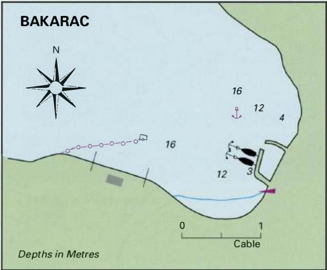
Luka Martinscica Adriatic Pilot image
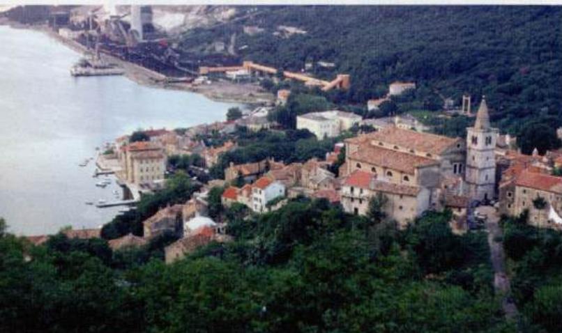
The medieval town of Bakar climbs the steep hill behind the harbour
Luka Martinscica Adriatic Pilot image