Luka Mala Garska
Region: South Adriatic
| Position: 43.178333, 16.428333 | Adriatic Sea / Jadransko more
43°10'.7N 16°25"7E Charts BA 2772, 269 (detailed), SC 5767, MK 79, lmray M26 The bay at Luka Mala Gar5ka is situated lM northwest of Hvar town on the island of Hvar. The bay has a large hotel, and a fenced-off area reserved for naturists. The bay is crowded with moored boats, but it is possible to find space to anchor. There are no dangers in the i
General
43°10'.7N 16°25"7E Charts BA 2772, 269 (detailed), SC 5767, MK 79, lmray M26 The bay at Luka Mala Gar5ka is situated lM northwest of Hvar town on the island of Hvar. The bay has a large hotel, and a fenced-off area reserved for naturists. The bay is crowded with moored boats, but it is possible to find space to anchor.
Approach
There are no dangers in the immediate approach. Rt Kovac, the headland nearly YzM southeast of the inlet, has depths of less than 4m extending 1 cable seawards. The inlet is easily identified from a distance by the radio mast immediately to the N. Closer to the inlet the large hotel and other buildings help in the identification. Anchor Anchor in 7m, sand and weed, keeping clear of the moorings.
Shelter
Good shelter from NW through N to SE. Open to winds and seas from W and SW.
Facilities
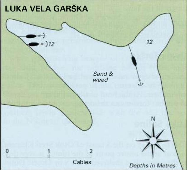
Hotel and cafe/bar ashore. Luka Vela Garska
Adriatic Navigation Guide Images for Luka Mala Garska
Adriatic Navigation Guide images and captions provide additional visual reference for this navigation location.