Professional navigation chart centered on Luka Krijal
Luka Krijal
Region: Central Adriatic
| Position: 44.336667, 14.6 | Adriatic Sea / Jadransko more
44°20"2N 14°36'E Charts BA 515, MK 9, 11, lmray M25 Luka Krijal lies on the W coast of Otok Premuda. It is protected from seaward by a chain of rocks and islets. There is a small, enclosed harbour here as well as an anchorage in the channel between Premuda and the off-lying islets. The belfry on the hill above the harbour is conspicuous from some d
General
44°20"2N 14°36'E Charts BA 515, MK 9, 11, lmray M25 Luka Krijal lies on the W coast of Otok Premuda. It is protected from seaward by a chain of rocks and islets. There is a small, enclosed harbour here as well as an anchorage in the channel between Premuda and the off-lying islets.
Approach
The belfry on the hill above the harbour is conspicuous from some distance offshore. In the nearer approach, the church at the harbour becomes apparent. From seaward, it can be difficult to see the off-lying islands because they blend into the background. If approaching from SE stay well inshore to avoid the SE extension of the reefs. There is a least depth of Sm in the channel between Otok Premuda and the off-lying reefs.
Lights
Luka Krijal, breakwater head Fl.R.3s6m4M 0. Kamenjak Fl.5s12m7M
Berth
It may be possible to find space to go bow-tq within the small harbour. Depths within the harbour range from 4m at the entrance to 2m farther in. Anchor The anchorage just off the harbour, between Otok Premuda and the off-lying islets, offers better shelter than it would appear to. With normal caution it can be safely used overnight. In E winds anchor NW of the chapel, and in other winds SE of the chapel. The holding in sand is good. The tides do not run too strongly here. Alternatively, pick up one of the mooring buoys provided for visitors. This is one of the officially organised anchorages, where a mooring fee and a visitor's tax are collected.
Shelter
Good shelter from all directions except NW and SE, both of which create a big sea in strong winds. In a sirocco it is better to shelter in Uvala Premuda.
Facilities
There is a restaurant at the harbour. In the village are a shop and Post Office. Ferry service from Uvala Loza, or from Luka Krijal in a bora. Uvala Premuda
Adriatic Navigation Guide Images for Luka Krijal
Adriatic Navigation Guide images and captions provide additional visual reference for this navigation location.
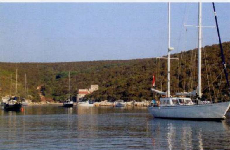
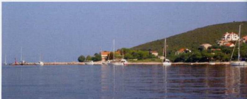
Uvala Griparica on Otok škarda has a number of moorings laid for visitorsThe approach to the small harbour of Luka Krijal on Otok approached from southeast. Visitors 'moorings have been laid on either side of the harbour and opposite it in the shelter of the off-lying islets