Luka Karbuni
Region: South Adriatic
| Position: 42.911667, 16.738333 | Adriatic Sea / Jadransko more
42°54"7N 16°44"3E Charts BA 2712, SC 5767, MK 27, 22, lmray M26 The hamlet of Karbuni is sheltered from SW by the long and narrow island of Zvirinovik, and from NW, N and NE by the high land of Korcula. It is however exposed to SE. The depths off the hamlet are in excess of 20m. The best anchorage is in the bay on the northeast-facing side of 0. Zv
General
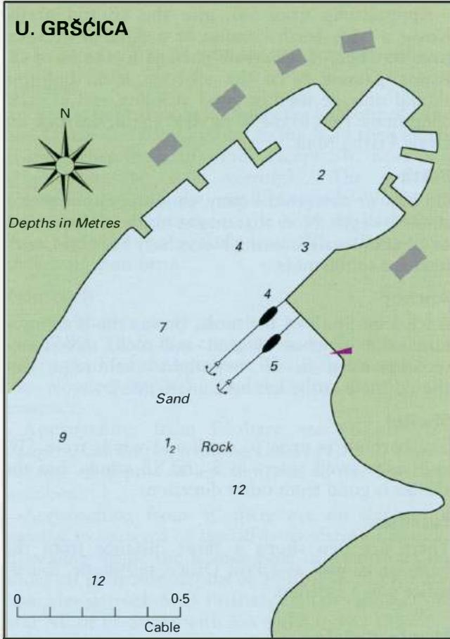
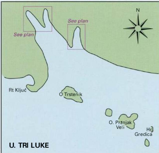
42°54"7N 16°44"3E Charts BA 2712, SC 5767, MK 27, 22, lmray M26 The hamlet of Karbuni is sheltered from SW by the long and narrow island of Zvirinovik, and from NW, N and NE by the high land of Korcula. It is however exposed to SE. The depths off the hamlet are in excess of 20m. The best anchorage is in the bay on the northeast-facing side of 0. Zvirinovik in 7-lOm with a line taken ashore. The island can be rounded from Nor S, but if coming from S note that there is an islet E of the island. It is possible to pass either side of this small islet. If approaching from GrsCica, it is possible to pass between Koreula to the N and the off-lying islands, but the channel is narrow. Alternatively, pass to the S of 0. Kosar, giving the shoal area SE of it a wide berth. Uvala Tri Luke
Adriatic Navigation Guide Images for Luka Karbuni
Adriatic Navigation Guide images and captions provide additional visual reference for this navigation location.