Luka Jazi
Region: Central Adriatic
| Position: 44.221667, 14.885 | Adriatic Sea / Jadransko more
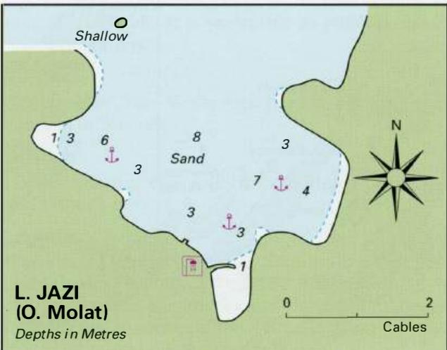
44°13'.3N 14°53".1 E Charts BA 515, MK 11, lmray M25 Luka Jazi lies towards the S of Otok Molat on the northeast-facing coast. It is the N landing place for the village of Molat, which is only a short distance away. The church up on the hill at Molat and the island of Tovarnjak lying to the N of the bay help identify Luka Jazi. It is possible to en
General
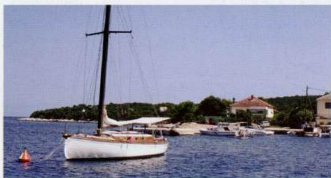
44°13'.3N 14°53".1 E Charts BA 515, MK 11, lmray M25 Luka Jazi lies towards the S of Otok Molat on the northeast-facing coast. It is the N landing place for the village of Molat, which is only a short distance away. The church up on the hill at Molat and the island of Tovarnjak lying to the N of the bay help identify Luka Jazi. It is possible to enter the bay by passing either side of 0. Tovarnjak. On the NW side of the bay there is a rocky islet joined to Molat by a shallow ridge. Do not try to pass between this islet and Molat. Within the bay, anchor in 4-6m. The holding in sand is good. At the head of the bay there is a breakwater, but this will be inaccessible to most yachts because of shallow depths. Luka Jazi is exposed to N winds including the bora, but it gives good shelter in winds from W through S ro E. There is a beach shower on the beach, where it is possible to obtain fresh water. A shop and a Post Office can be found up in the main village of Molat. Prolaz Zapuntel