Professional navigation chart centered on Luka Grebastica
Luka Grebastica
Region: Central Adriatic
| Position: 43.635, 15.96 | Adriatic Sea / Jadransko more
43°38'.1 N 15°57'-6E Charts BA 2774, SC 5767, MK 75, lmray M25 Luka Grebastica is a 3M long inlet 3M north of Primosten. The afternoon breeze blows straight into the inlet and there are only two anchorages sheltered from this direction. The better anchorage lies in a cove on the N shore near the hamlet of BanovCi. This cove is 2YiM east-southeast o
General
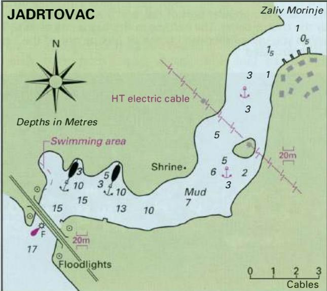
43°38'.1 N 15°57'-6E Charts BA 2774, SC 5767, MK 75, lmray M25 Luka Grebastica is a 3M long inlet 3M north of Primosten. The afternoon breeze blows straight into the inlet and there are only two anchorages sheltered from this direction. The better anchorage lies in a cove on the N shore near the hamlet of BanovCi. This cove is 2YiM east-southeast of Rt Ostrica Vela, on which there is a light Fl.G.2s9m3M. A number of small local boats are moored here. Anchor near the entrance of the cove in 6m. The holding in mud is good, although in a bora take lines ashore for added security. The anchorage is sheltered from all directions. There is a shop nearby. The other anchorage lies on the S side of Luka Grebastica, 1 .6M southeast of Rt Ostrica Vela. A busy main road runs along the coast here close above the anchorage. Depths in the cove are between 8 and 12m. The bottom is mud. The anchorage is sheltered from SE through S to W. Jadrtovac
Adriatic Navigation Guide Images for Luka Grebastica
Adriatic Navigation Guide images and captions provide additional visual reference for this navigation location.
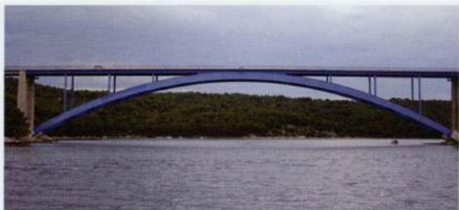
The bridge at the entrance to the channel leading to Jad