Region: Central Adriatic
| Position: 43.673333, 15.923333 | Adriatic Sea / Jadransko more
43°40'-4N 15°55'-4E Charts BA 2774, SC 5767, MK 75, lmray M25 The harbour of Krapanj lies on the SE side of the island. Approaching the island from S, beware of rocks and shoals, which lie off the S coast. Approaching from northwest, beware of the shoals and rocks, which extend 1M northwest. The harbour is clearly visible. There is a light Fl.R.3s6
General
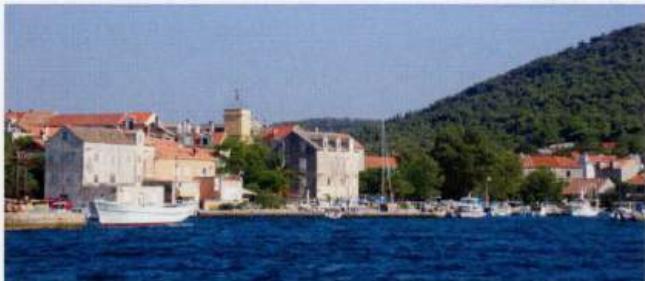
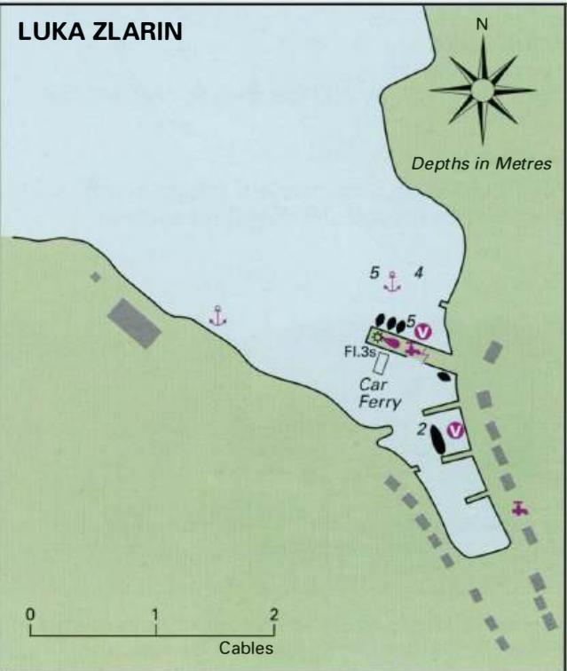
43°40'-4N 15°55'-4E Charts BA 2774, SC 5767, MK 75, lmray M25 The harbour of Krapanj lies on the SE side of the island. Approaching the island from S, beware of rocks and shoals, which lie off the S coast. Approaching from northwest, beware of the shoals and rocks, which extend 1M northwest. The harbour is clearly visible. There is a light Fl.R.3s6m2M exhibited from the end of the quay. This light is visible between the bearings 134° and 356°. Medium-sized yachts can tie up inside the harbour breakwater, where there are depths of 2m alongside. The bora blows strongly here as does the sirocco. Within the harbour shelter is good from all directions except N. The village is a quiet place to wander around, but it only has one small shop (near the harbour) and a cafe/bar. N of the village there is a boat repair yard. OTOK ZLARIN Charts BA 2774, 2773 (detailed), SC 5767, MK 75, lmray M25 The island of Zlarin is 3.2M (NW-SE) by 1.2M (NE-SW) and has just the one village on it. Zlarin has been inhabited since Neolithic times. The Romans also had a settlement here. From the Middle Ages up until the middle of the 19th century the island was a Church possession, and the residence of the bishops of Sibenik. Turkish advances on the mainland in the 16th and 17th centuries drove many people from their homes, and some came and settled on Zlarin. Over the ages the islanders have traditionally lived from the sea. Some of the men are still fishermen, and others continue to dive for coral. Coral can be bought in the village. Luka Zlarin
Adriatic Navigation Guide Images for Krapanj
Adriatic Navigation Guide images and captions provide additional visual reference for this navigation location.