Komolac
Region: South Adriatic
| Position: 42.67, 18.138333 | Adriatic Sea / Jadransko more
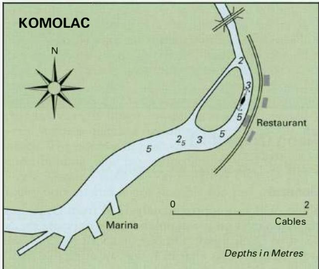
42°40'.2N 18°08'.3E Charts BA 683, SC 5767. MK 26. lmray M27 Beyond the marina the river is particularly attractive, and it is possible to anchor here in peace. Further upstream, near the bridge, there is a hydroelectric power station. Follow the river beyond the marina, keeping to the centre except at the bends where you should keep to the outside
General
42°40'.2N 18°08'.3E Charts BA 683, SC 5767. MK 26. lmray M27 Beyond the marina the river is particularly attractive, and it is possible to anchor here in peace. Further upstream, near the bridge, there is a hydroelectric power station.
Approach
Follow the river beyond the marina, keeping to the centre except at the bends where you should keep to the outside of the bends to avoid the shallower areas. The minimum depth is 2.5m. Anchor Anchor in 3m. The bottom is mud. If necessary, set a second anchor to ensure that the boat does not swing across the river.
Shelter
Good, although the bora blows strongly here.
Facilities
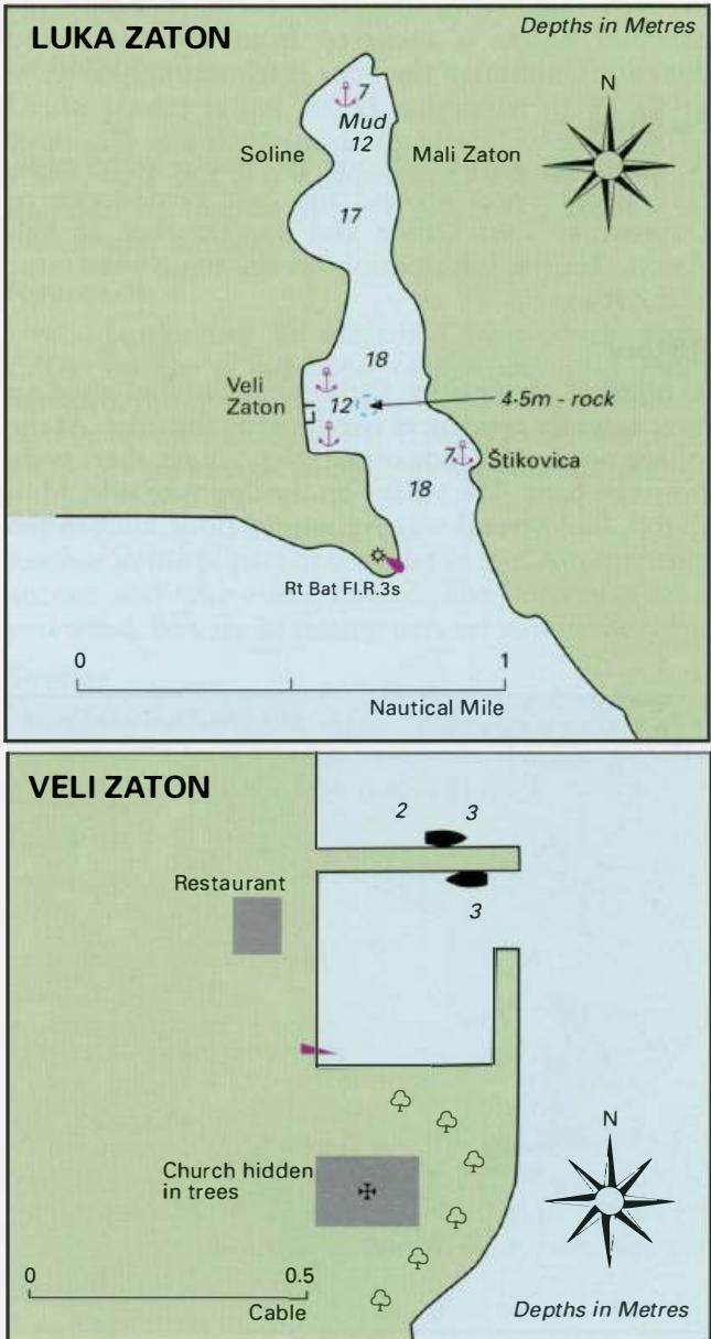
There is a restaurant on the river bank. Zaton
Adriatic Navigation Guide Images for Komolac
Adriatic Navigation Guide images and captions provide additional visual reference for this navigation location.