Professional navigation chart centered on Klenovica
Klenovica
Region: North Adriatic
| Position: 45.103333, 14.848333 | Adriatic Sea / Jadransko more
45°06'.2N 14°50"9E Charts BA 2779, MK 7, lmray M24 Nearly YiM north-northeast of the small low-lying islet of Otocic Sv. Anton (connected to the mainland by a rubble wall), on which there is a light (Fl.3s9m6M), lies a small holiday village called Klenovica. The village is built around a bay, which is open to winds with any W in them, but is shelte
General
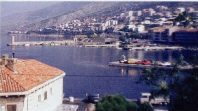
45°06'.2N 14°50"9E Charts BA 2779, MK 7, lmray M24 Nearly YiM north-northeast of the small low-lying islet of Otocic Sv. Anton (connected to the mainland by a rubble wall), on which there is a light (Fl.3s9m6M), lies a small holiday village called Klenovica. The village is built around a bay, which is open to winds with any W in them, but is sheltered from the bora and the sirocco. There are a number of small piers around the bay and small-craft moonngs. Uvala Zrnovnica
Adriatic Navigation Guide Images for Klenovica
Adriatic Navigation Guide images and captions provide additional visual reference for this navigation location.