← Back to navigation map
Professional navigation chart centered on Kastel Stafilic
Kastel Stafilic
Region: Central Adriatic
| Position: 43.546667, 16.34 | Adriatic Sea / Jadransko more
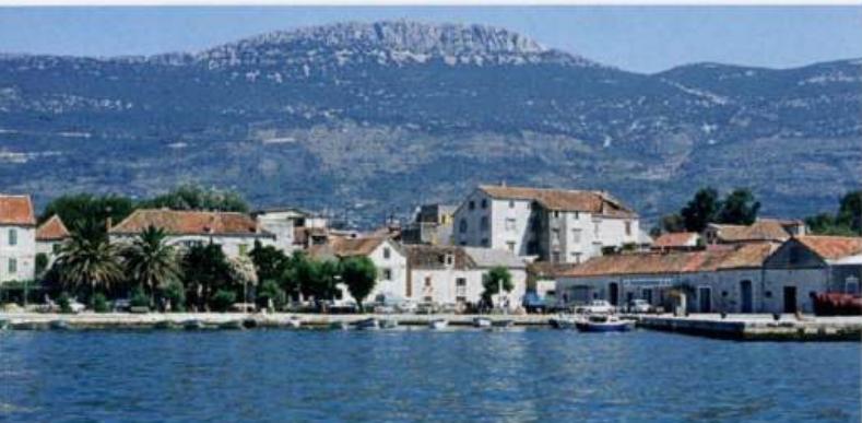
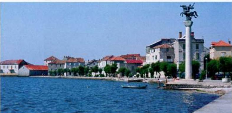
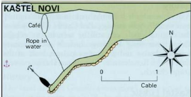
43°32'.8N 16°20'-4E Charts BA 2712, SC 5767, MK 16, lmray M26 There is a fortified tower on the coast at Kastel Stafilic, M west of Kastel Novi. Care should be taken not to confuse it with Kastel Novi. The harbour at Kastel Stafilic is very shallow and only suitable for rowing boats. There are no berthing arrangements and no shelter for yachts. Dep
General
43°32'.8N 16°20'-4E Charts BA 2712, SC 5767, MK 16, lmray M26 There is a fortified tower on the coast at Kastel Stafilic, M west of Kastel Novi. Care should be taken not to confuse it with Kastel Novi. The harbour at Kastel Stafilic is very shallow and only suitable for rowing boats. There are no berthing arrangements and no shelter for yachts. Depths in the approach to Kastel Stafilic are 3m. OTOK CIOVO Slatine
Adriatic Navigation Guide Images for Kastel Stafilic
Adriatic Navigation Guide images and captions provide additional visual reference for this navigation location.