Region: Central Adriatic
| Position: 44.066667, 15.208333 | Adriatic Sea / Jadransko more
44°04'N 15°12'.5E Charts BA 2711, 515, SC 5767, MK 13, lmray M25 Although small, Kali is an important fishing village. If the fleet is in, finding a berth may be impossible. Kali lies on the NE coast of Otok Ugljan, SE of 0. Osljak and approximately 31/iM southwest of Zadar on the mainland. There are actually two harbours here, one on either side o
General
44°04'N 15°12'.5E Charts BA 2711, 515, SC 5767, MK 13, lmray M25 Although small, Kali is an important fishing village. If the fleet is in, finding a berth may be impossible. Kali lies on the NE coast of Otok Ugljan, SE of 0. Osljak and approximately 31/iM southwest of Zadar on the mainland. There are actually two harbours here, one on either side of Rt Rahovaca. The main harbour is to the N of Rt RahovaC:a, and has a light on the end of the breakwater. The harbour to the S of Rt Rahovaca has KALI painted on the outside of the wall.
Approach
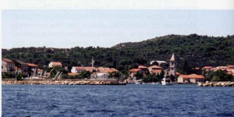
0. Osljak and a prominent belfry in the village help locate Kali. There are no dangers in the immediate approach.
Lights
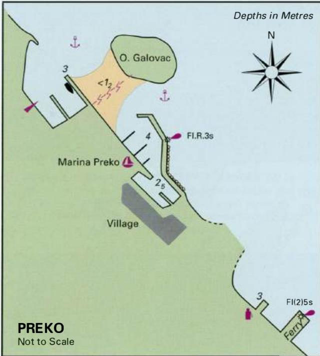
0. OS!jak Fl(4)15sllm8M Kali breakwater Fl.R.3s7m3M Preko breakwater Fl.R.3s7m3M Preko ferry pier Fl(2)5s7m4M
Berth
Tie up on the inner side of the breakwater of the N harbour, where there are depths of between 4m and 2m.
Shelter
Good shelter from W through S to SE.
Facilities
Fuel and water are available from the fuel berth near the car ferry terminal located midway between Kali and Preko. Grocery store, Post Office, telephone, medical service, tourist information, cafe/bars and restaurant in the village. There is a bank as well as a shop and restaurant near the fuel berth.
Visits
Every year at the end of July or beginning of August (depending on the time of the full moon) a fishermen's festival takes place at Kali. The entrance to Kukljica on Otok Ugljan Kukljica
Adriatic Navigation Guide Images for Kali
Adriatic Navigation Guide images and captions provide additional visual reference for this navigation location.