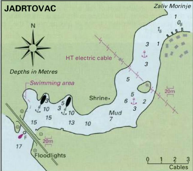
Professional navigation chart centered on Jadrtovac
Jadrtovac
Region: Central Adriatic
| Position: 43.673333, 15.936667 | Adriatic Sea / Jadransko more
43°40'.4N 15°56'.2E Charts BA 2774, SC 5767, MK 75, lmray M25 The hamlet of Jadrtovac lies at the S end of a small lake, which is connected to the sea by a winding channel. There are a number of sheltered and attractive anchorages along this channel. It is highly recommended! The lake however is shallow with depths of less than lm. The entrance to
General
43°40'.4N 15°56'.2E Charts BA 2774, SC 5767, MK 75, lmray M25 The hamlet of Jadrtovac lies at the S end of a small lake, which is connected to the sea by a winding channel. There are a number of sheltered and attractive anchorages along this channel. It is highly recommended! The lake however is shallow with depths of less than lm.
Approach
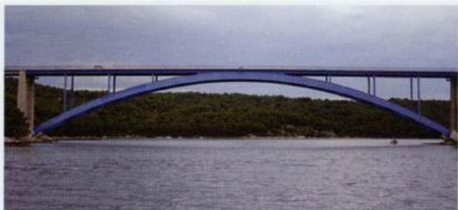
The entrance to the channel leading to Jadrtovac lies to the E of Otok Krapanj and is easily identified by the road bridge, which spans it. Jadrtovac is best approached from SW, passing to the E of 0. Krbela Vela and SE of 0. Krapanj. Beware of the rock N of Rt Ostrica Vela, marked by an E cardinal buoy. There is an obstruction midway between 0. Krapanj and 0. Krbela Vela. Shallows lie off the S end of 0. The bridge at the entrance to the channel leading to Jadrtovac Krapanj. There is also a comparatively shallow area extending off the mainland shore 6 cables S and SW of the entrance to Jadrtovac. The air clearance under the road bridge is 20m. Nearer the village a high tension cable spans the channel. This also has an air clearance of 20m.