Donji Morinj
Region: South Adriatic
| Position: 42.49, 18.656667 | Adriatic Sea / Jadransko more
42°29'-4N 18°39'-4E Charts BA 1582, MK 27, lmray M27 Donji Morinj lies at the westernmost end of Kotarski Zaljev in Morinjski Zaljev, away from the beaten track. It is a quiet bay, which is suitable for a lunchtime stop and bathing. At night, there are often strong katabatic winds off the mountains behind Risan, which can be alarming if not dangero
General
42°29'-4N 18°39'-4E Charts BA 1582, MK 27, lmray M27 Donji Morinj lies at the westernmost end of Kotarski Zaljev in Morinjski Zaljev, away from the beaten track. It is a quiet bay, which is suitable for a lunchtime stop and bathing. At night, there are often strong katabatic winds off the mountains behind Risan, which can be alarming if not dangerous.
Approach
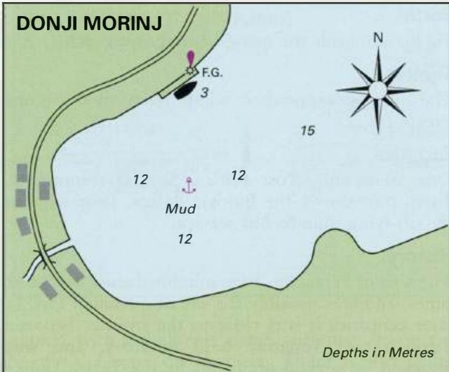
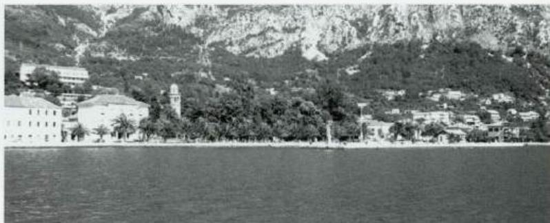
There are no dangers in the approach. The hamlet with its belfry is clearly visible. The quay lies on the N side of the bay.
Lights
Morini quay F.G.4m4M Lipci Fl.G.3s7m3M Kostanjica (Dabovici) F.R.4m3M
Berth
Tie up alongside the quay. Anchor Anchor in 12m. The bottom is soft mud, unreliable holding.
Facilities
There is only one shop here. A bus service passes through the hamlet.
History
The settlement at Donji Morinj developed in the 17th century, after the Turks had withdrawn from the area. Donji Morinj has the honour of having had the first elementary school in the Boka Kotorska, which used the national language (Serbo-Croat). Tt.e school was founded in 1804. Risan