Doli
Region: South Adriatic
| Position: 42.806667, 17.8 | Adriatic Sea / Jadransko more
42°48'-4N 17°48'E Charts BA 1580, SC 5767. MK 25. lmray M26 The inlet of Uvala Doli faces SE. At its head 1s a small harbour with a factory nearby. Approximately 2 cables S of Rt Doli, the S headland at the entrance to Uvala Doli, is an islet with an underwater rock off it. This islet helps identify the entrance to the inlet. Rt Lumpar (0. Olipa} F
General
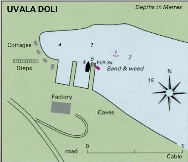
42°48'-4N 17°48'E Charts BA 1580, SC 5767. MK 25. lmray M26 The inlet of Uvala Doli faces SE. At its head 1s a small harbour with a factory nearby.
Approach
Approximately 2 cables S of Rt Doli, the S headland at the entrance to Uvala Doli, is an islet with an underwater rock off it. This islet helps identify the entrance to the inlet.
Lights
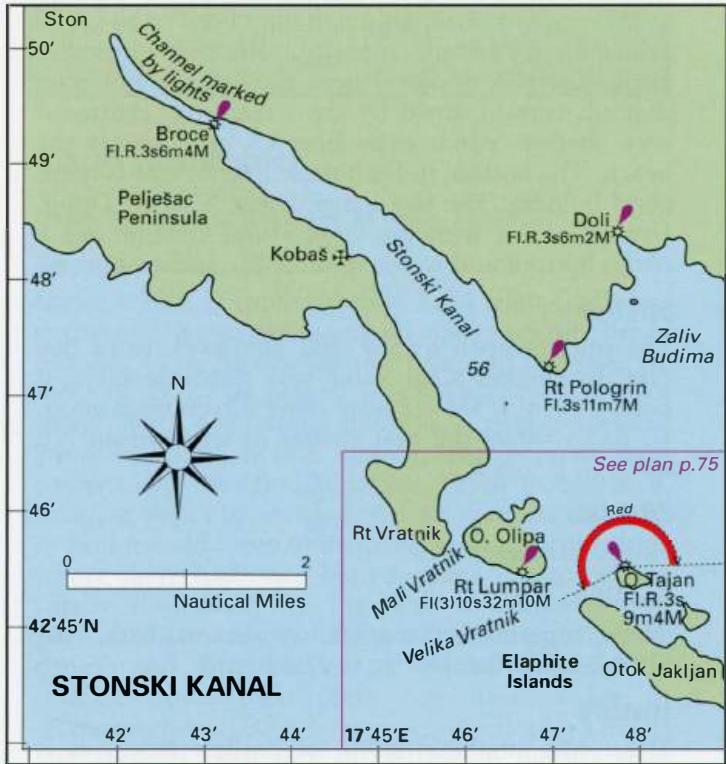
Rt Lumpar (0. Olipa} Fl(3)10s31m10M 0. Tajan Fl.R.3s9m4M Rt Tiha Fl(2)8s14m9M Rt Pologrina (Grbljava) Fl.3sllm7M Doli breakwater head Fl.R.3s6m2M
Berth
Tie up behind the harbour wall if space allows. Anchor Anchor E of the harbour wall in 7m. The bottom is sand and weed.
Shelter
Good from SW through N to E. The harbour is open SE and any swell from this direction enters the harbour.
Facilities
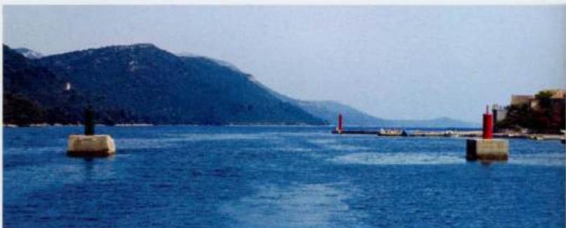
Telephone, konoba and bus service on the mam road a short distance to the N of Doli. Stonski Kanai Charts BA 1580, SC 5767. MK 25. lmray M26 The Stonski Kanai is entered between Rt Veja (Veljara) to the SW and Rt Pologrina (Grbljava) to the NE. There is a white-painted metal tower light structure on Rt Pologrina, which helps identify the entrance. The Stonski Kanai is a long narrow inlet with wooded slopes to port and starboard. In the summer the woods ring with the sound of cicadas. The Stonski Kanai ultimately leads to the historic town of Ston, where there is a quay. There is an anchorage at Kobas and a small harbour at Broce. Approach and entry to the Stonski Kanai is straightforward. From the entrance up to Broce there is plenty of water. From Broce to Storr depths The Stonski Kanai, looking SE near Broce decrease, and Storr is approached by a shallow channel, marked by lit beacons (Fl.R or Fl.G). Proceed with caution as the depths may be less than the 4m charted. Both the bora and the sirocco can be strong in the Stonski Kanai. Strong currents may also be encountered, depending on the tide and weather conditions. Seiches, with a dramatic change in sea level of up to l .Sm caused by the sudden onset of winds from S, are a feature of the Stonski Kanai. Ko bas