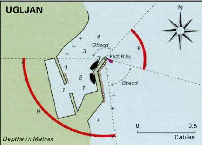
Ceprljanda
Region: Central Adriatic
| Position: 44.125, 15.125 | Adriatic Sea / Jadransko more
44°07'-5N 15°07'-5E Charts BA 515, SC 5767, MK 13, lmray M25 There are two bays SE of Ugljan at Ceprljanda where shallow-draught vessels can anchor. Depths in the bays are 3m and less. The bays should only be approached in good conditions. Lukoran Veli
General
44°07'-5N 15°07'-5E Charts BA 515, SC 5767, MK 13, lmray M25 There are two bays SE of Ugljan at Ceprljanda where shallow-draught vessels can anchor. Depths in the bays are 3m and less. The bays should only be approached in good conditions. Lukoran Veli
Adriatic Navigation Guide Images for Ceprljanda
Adriatic Navigation Guide images and captions provide additional visual reference for this navigation location.