Cala dei Turchi
Region: South Adriatic
| Position: 42.135, 15.51 | Adriatic Sea / Jadransko more
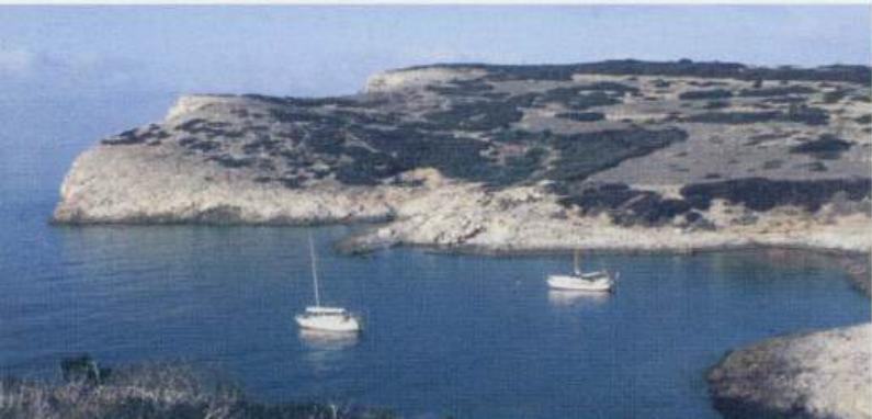
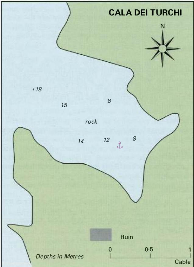
42°08'.1 N 15°30'.6E Cala dei Turchi lies on the W side of Isola Caprara. The cove was used as a base by the Turks when they attacked the monastery, hence its name. There is a shoal with 5 .2m over it lYz cables SW of the S entrance point. The approach is otherwise straightforward and clear of dangers. There are no navigational lights here. Anchor
General
42°08'.1 N 15°30'.6E Cala dei Turchi lies on the W side of Isola Caprara. The cove was used as a base by the Turks when they attacked the monastery, hence its name.
Approach
There is a shoal with 5 .2m over it lYz cables SW of the S entrance point. The approach is otherwise straightforward and clear of dangers. There are no navigational lights here. Anchor In Sm. The bottom is rock and the holding is unreliable. If staying overnight it is recommended that you take lines ashore.
Shelter
The anchorage is exposed to winds and swell from W, NW and N. Shelter from other directions is good.
Facilities
There are no facilities ashore. Cala Degli lnglesi