Professional navigation chart centered on BOKA KOTORSKA (THE GULF OF KOTOR}
BOKA KOTORSKA (THE GULF OF KOTOR}
Region: South Adriatic
| Position: 42.328333, 18.705 | Adriatic Sea / Jadransko more
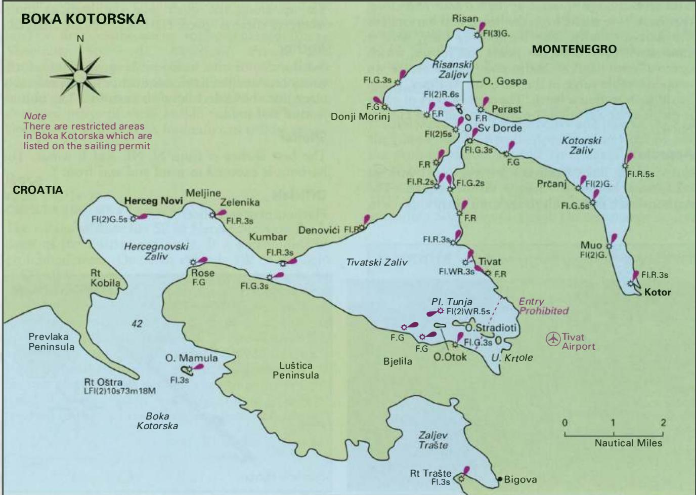
Greben Kalafat Beacon 42°19'.7N 18°42'.3E Rt Tralite Rt Platamuni The entrance to Boka Kotorska from the south waters amidst some of the most spectacular scenery. The historic walled city of Kotor and the two islands off Perast should be included in any cruise in this area. Herceg Novi 42"27"N 18"32".3E Chart BA 1582, MK 27, lmray M27 Herceg Novi i
General
Greben Kalafat Beacon 42°19'.7N 18°42'.3E Rt Tralite Rt Platamuni The entrance to Boka Kotorska from the south waters amidst some of the most spectacular scenery. The historic walled city of Kotor and the two islands off Perast should be included in any cruise in this area. Herceg Novi 42"27"N 18"32".3E Chart BA 1582, MK 27, lmray M27 Herceg Novi is situated 3M north of the entrance to Boka Kotorska, on the northern shores of Hercegnovski Zaljev. It is a popular holiday resort with several large hotels near the harbour and along the coast. Live music from the hotels and bars makes the harbour noisy. The harbour is busy with a constant stream of tripper boats and ferries, which operate until late at night and which create an uncomfortable surge in the harbour. At times, it can be difficult to find a berth. The nearest port of entry is the quay at Zelenika, 1 .6 miles to the E of Herceg Novi.
Approach
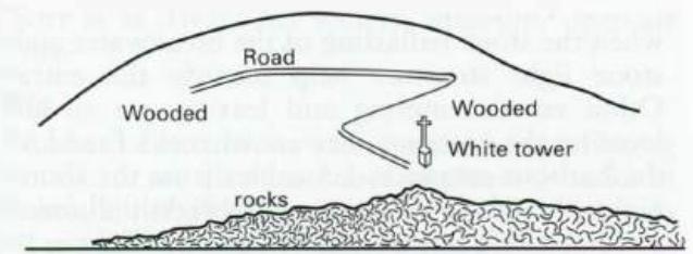
Entering the Boka Kotorska, Herceg Novi with its numerous hotels is clearly visible ahead. The harbour itself is difficult to see until fairly close to it, The approach to Herceg Novi harbour when the stone ballasting of the breakwater and the stone light structure help identify the entrance. Other vessels entering and leaving are an aid to locating the entrance. Beware of rocks E and SE of the harbour entrance, 1 .5 cables from the shore. At night, the whole of this area is brightly illuminated making it difficult to spot the harbour light.
Lights
Rt Ostra LF1(2)10s73m18M 0. Mamula Fl.3s34m6M
Adriatic Navigation Guide Images for BOKA KOTORSKA (THE GULF OF KOTOR}
Adriatic Navigation Guide images and captions provide additional visual reference for this navigation location.
Approach to Bigova (Traste) from West Rt Platamuni