Aurisina and Canovella
Region: North Adriatic
| Position: 45.74, 13.67 | Adriatic Sea / Jadransko more
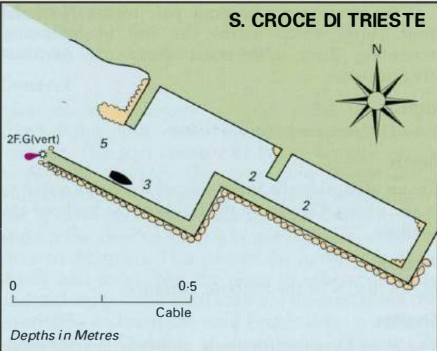
45°44'-4N 13°40"2E and 45°45'N 13°39'E Charts BA 1471, lmray M24 These are two small, shallow harbours. Aurisina is private and used by official launches. It has a F.G light on the end of the mole. Canovella is used by shallow draught craft up to 7m in length. At the time of our visit the end of the mole had collapsed, leaving a dangerously shallow
General
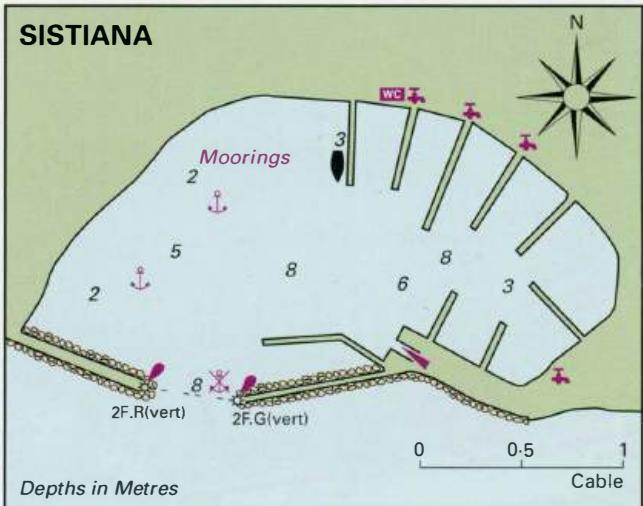
45°44'-4N 13°40"2E and 45°45'N 13°39'E Charts BA 1471, lmray M24 These are two small, shallow harbours. Aurisina is private and used by official launches. It has a F.G light on the end of the mole. Canovella is used by shallow draught craft up to 7m in length. At the time of our visit the end of the mole had collapsed, leaving a dangerously shallow area off its head. Not recommended. Sistiana
Adriatic Navigation Guide Images for Aurisina and Canovella
Adriatic Navigation Guide images and captions provide additional visual reference for this navigation location.