Skitača: Beaches and Coves, Croatia
About this beach
Skitača: beaches and coves
Beach character
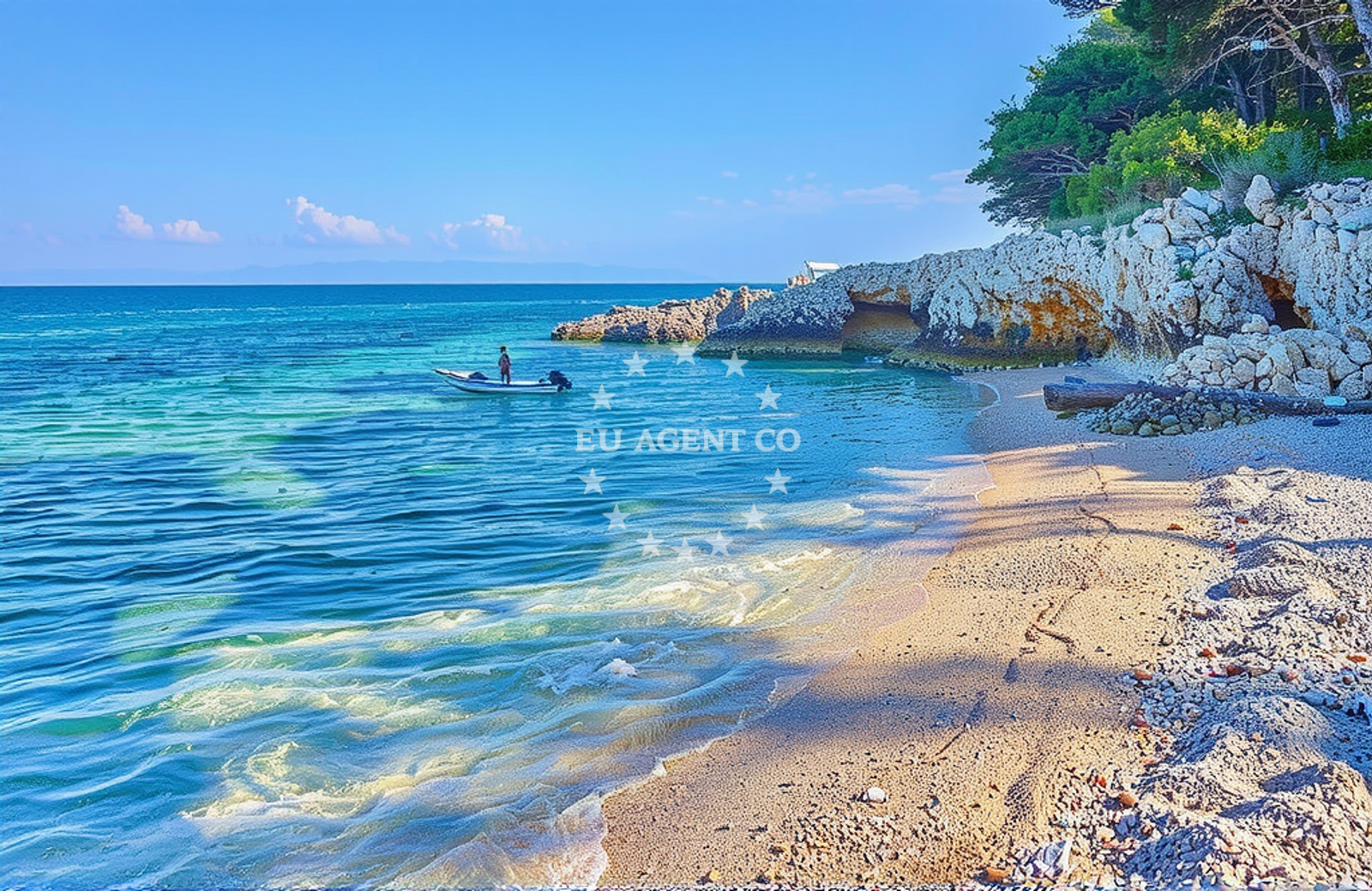
The beaches of Skitača are defined by their diversity and seclusion. Sheltered by low-lying hills and rocky outcrops, many coves here offer calm, shallow waters ideal for swimming and snorkeling. The shoreline alternates between pebbled stretches and soft sand, with some areas featuring natural rock formations that create shaded nooks. The absence of formal infrastructure preserves the area's wild character, though visitors may encounter scattered remnants of historical coastal use, including old fishing huts and stone pathways that hint at the region's maritime past.Swimming and shore
Swimming conditions in Skitača's coves are generally favorable, with water temperatures averaging 22-25°C during the summer months. The shallower areas near the shore are particularly inviting for families, while deeper sections beyond the reefs offer opportunities for snorkeling among marine life. The rocky terrain along parts of the coastline creates natural pools that remain calm even during moderate wave action, though visitors should exercise caution near steep drop-offs. The lack of designated swimming zones means that safety is largely dependent on individual awareness of local conditions.Facilities and activities
The beaches of Skitača are intentionally unspoiled, with no formal amenities such as showers, restrooms, or lifeguard services. This absence of infrastructure aligns with the area's designation as a protected coastal zone, emphasizing conservation over commercial development. Activities are limited to swimming, snorkeling, and coastal hiking along the cliff paths. Kayaking is permitted in designated areas, though paddlers should be mindful of the unpredictable currents that can develop in the open waters beyond the coves.Access and location
Reaching Skitača requires a combination of road and coastal navigation. The nearest major settlement, Supetar on Brac Island, is approximately 15 kilometers to the northwest, connected by a winding coastal road that offers panoramic views of the Adriatic. For visitors arriving by sea, the area falls within the sailing radius of several marinas in the Split and Hvar regions, including the popular marina in Bol. The lack of direct road access to the most secluded coves means that land-based visitors must rely on local transport services or consider yacht-based exploration for full access to the area.What to expect
Visitors to Skitača should expect a landscape that prioritizes natural preservation over modern convenience. The beaches are best suited for those seeking solitude and connection with the environment, rather than structured recreational facilities. The area's appeal lies in its raw beauty: the interplay of turquoise waters with limestone cliffs, the scent of Mediterranean vegetation, and the rhythmic sound of waves against the shore. While the lack of amenities may be a drawback for some, it ensures that the beaches remain largely undisturbed by tourism infrastructure.Practical tips
For those planning a visit, early morning arrivals are recommended to avoid the limited parking spaces near the main access points. Sun protection is essential, as the coastal rocks can reflect intense sunlight. Visitors should carry water and snacks, as there are no food vendors in the immediate vicinity. When exploring the coves, it's advisable to stay on marked paths to avoid damaging the fragile coastal ecosystem.Exploring the coast by yacht
For yacht charter guests, Skitača's coastline offers a compelling blend of natural beauty and strategic sailing opportunities. The area lies within the broader sailing routes connecting Split, Hvar, and the Pelješac Peninsula, making it a convenient stop for those exploring the central Adriatic. The sheltered coves provide ideal anchorage points, though boaters should consult local maritime charts for precise coordinates. The proximity to established marinas and the absence of commercial fishing activity in the area make Skitača an attractive destination for both day trips and extended cruising.Historical Context
The Skitača coastline bears traces of medieval maritime activity, with archaeological findings suggesting the presence of early fishing settlements. These remnants, though not formally marked, add a layer of historical interest to the area. Local legends speak of pirates using the coves as hiding places during the 16th century, though these stories remain unverified.Anchorages in the surrounding area
Anchorages in Koromacno, Sveta Marina, and Duga Luka offer proximity to Skitača's beaches and coves.
- Vošćice — voscice — koromacno — 1.2 NM from beach
- Anchorage — koromacno — 2.0 NM from beach
- Anchorage — koromacno — 2.1 NM from beach
- Anchorage — sveta marina — 3.0 NM from beach
- Anchorage — duga luka — 4.1 NM from beach
- Anchorage — trget — 4.4 NM from beach
- Anchorage — krnica — 5.1 NM from beach
- Remac — rabac — 5.1 NM from beach
Distances are straight-line geographic distances, not sailing routes.
Mooring buoys in the surrounding area
Mooring buoys in Koromacno and Trget provide nearby access to Skitača's coastal areas.
- Quay — koromacno — 2.0 NM from beach
- Quay — koromacno — 2.2 NM from beach
- Jetty — trget — 4.4 NM from beach
- Buoy — valun — cres — 10.4 NM from beach
- Jetty — liznjan — 12.2 NM from beach
Distances are straight-line geographic distances, not sailing routes.
Marine fuel stations
Fuel stations on Cres and Medulin serve boats visiting Skitača's shoreline.
- Fuel station — cres — 11.3 NM from beach
- Ina — cres — 11.6 NM from beach
- Fuel station — medulin — 13.3 NM from beach
- Ina — pula — 14.2 NM from beach
Distances are straight-line geographic distances, not sailing routes.
Harbours in the surrounding area
Harbors in Trget and Krnica are situated near Skitača's coastal landmarks.
- Trget — 4.4 NM from beach
- Krnica harbour — 5.0 NM from beach
- Rabac Luka — 5.7 NM from beach
- Budava harbour — kavran — 8.4 NM from beach
- Brestova — 10.3 NM from beach
- Valun harbour — cres — 10.3 NM from beach
Distances are straight-line geographic distances, not sailing routes.
Marinas in the surrounding area
Marinas in Cres and Medulin cater to vessels exploring Skitača's nearby waters.
- ACI Marina Cres — 11.6 NM from beach
- Marina Medulin — 13.6 NM from beach
- ACI Marina Pomer — 14.1 NM from beach
- ACI Marina Pula — 14.3 NM from beach
- Marina Polesana — pula — 15.1 NM from beach
Distances are straight-line geographic distances, not sailing routes.
Restaurants near the beach
Restaurants in Koromacno and Trget are located close to Skitača's beaches and coves.
- Restaurant — koromacno — 2.2 NM from beach
- Restaurant — rakalj — 3.5 NM from beach
- Konoba Nando — trget — 4.4 NM from beach
Distances are straight-line geographic distances, not sailing routes.
Navigation guides for the surrounding area
Navigation guides for ZALJEV RASA and Uvala Prklog assist in reaching Skitača's coastal routes.
- ZALJEV RASA — 3.4 NM from beach
- Uvala Prklog — 4.2 NM from beach
- Luka Budava — 8.3 NM from beach
- Cres — 11.4 NM from beach
- Martinscica — 13.3 NM from beach
Distances are straight-line geographic distances, not sailing routes.
Yachts from nearby departure bases
Yachts departing from Pula Trget Port and Rabac Port are positioned near Skitača's waters.
Sailing yachts
- Dufour 44 (Victoria 1) — Pula Trget Port — 4.4 NM from departure base to beach
- Bavaria Cruiser 37 (Alani) — Pula Trget Port — 4.4 NM from departure base to beach
- Bavaria 39 Cruiser (Marja) — Pula Trget Port — 4.4 NM from departure base to beach
- First 35 (PSYCHE) — Pula Trget Port — 4.4 NM from departure base to beach
- Bavaria 37 Cruiser (ALANI) — Pula Trget Port — 4.4 NM from departure base to beach
- Elan Impression 40 (Silente) — Rabac Port — 5.8 NM from departure base to beach
- Elan 333 (Brina) — Rabac Port — 5.8 NM from departure base to beach
- Bavaria 30 Cruiser (Ana) — Rabac Port — 5.8 NM from departure base to beach
- Oceanis 45 (Mediterraneo I) — Marina Medulin — 13.6 NM from departure base to beach
Motor boats
- Damor 980 Fjera (St.Marina) — Pula Trget Port — 4.4 NM from departure base to beach
Distances are straight-line geographic distances, not sailing routes.