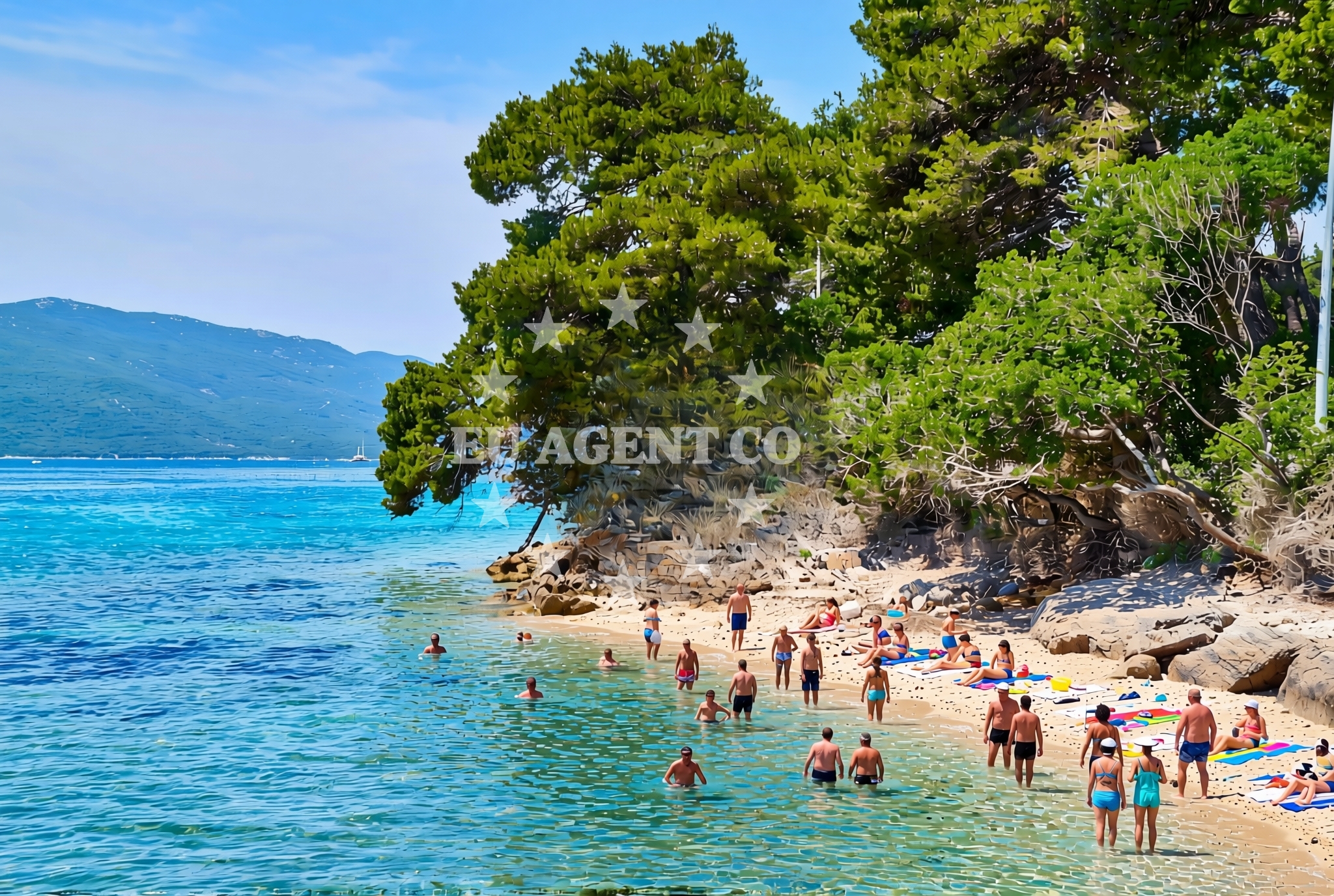
Pod Gospu Zapad Beach, Orebić: A Natural Shoreline in Croatia's Adriatic Coast
About this beach
Pod Gospu zapad, Orebić
Beach: Pod Gospu zapad
Location: Orebić
Characteristics and facilities
Gravel, rocks
140 m
Natural shade
Beach character
The beach's composition of gravel and rocks creates a distinct contrast to the smooth sandy shores found elsewhere in the region. Its length of 140 meters is modest, but the natural shade provided by the surrounding topography offers respite from the sun. The absence of artificial structures or amenities emphasizes its raw, unaltered character, making it a place that feels deeply integrated with the local geography.Swimming and shore
Swimming conditions at Pod Gospu Zapad are influenced by the beach's rocky substrate, which may make direct entry into the water less accessible in some areas. The shoreline is best suited for walking or exploring the natural formations. The natural shade, likely provided by overhanging cliffs or vegetation, adds a practical benefit for visitors spending time on the beach during warmer months.Facilities and activities
There are no explicitly listed facilities or structured activities associated with Pod Gospu Zapad Beach. The lack of amenities such as showers, restrooms, or parking aligns with its status as a more remote and naturally preserved shoreline. Visitors are advised to bring their own supplies, as the beach does not appear to be equipped for extended stays or large gatherings.Access and location
Located in Orebić, a town on the Adriatic coast of Croatia, Pod Gospu Zapad Beach is part of a region known for its rugged coastline and historic maritime connections. Orebić itself is a gateway to the Pelješac Peninsula, an area characterized by dramatic cliffs, vineyards, and a network of smaller coastal settlements. The beach's proximity to the town center suggests it may be accessible via local roads, though specific details about parking or pathways are not provided in the catalog.What to expect
Visitors to Pod Gospu Zapad Beach should anticipate a landscape defined by gravel, rocks, and natural shade. The beach's modest length and lack of artificial amenities make it more suitable for those seeking a quiet, unspoiled coastal experience. Its location in Orebić places it within a broader context of the Adriatic's rugged coastline, where natural beauty and historical significance intersect.Practical tips
As no specific facilities are listed, visitors should plan accordingly by bringing necessary items such as water, sunscreen, and appropriate footwear for walking on gravel. The beach's natural setting may limit the availability of services typically found at more developed shorelines.Exploring the coast by yacht
For those interested in yacht charter experiences, Pod Gospu Zapad Beach lies within the sailing area of the Adriatic coast near Orebić. This region is part of a network of routes that connect to the Pelješac Peninsula, the Bay of Kotor, and other coastal destinations. Euro-Agent's yacht charter services can facilitate access to this area, allowing visitors to explore the surrounding waters and anchorages at their leisure.Orebić: A Coastal Town with Maritime Roots
Orebić, the town near Pod Gospu Zapad Beach, has a history tied to the Adriatic's maritime trade routes. Its location on the Pelješac Peninsula places it near the Strait of Otranto, a historically significant passage between the Adriatic Sea and the Ionian Sea. The town's economy has long been influenced by fishing, viticulture, and tourism, with the coastline offering a mix of natural beauty and cultural heritage.Anchorages in the surrounding area
Anchorages near Otocic Badija and Uvala Vrbovica offer nearby mooring options.
- Anchorage — korcula — 1.3 NM from beach
- Anchorage — badija — 1.6 NM from beach
- Anchorage — korcula — 1.6 NM from beach
- Anchorage — korcula — 1.9 NM from beach
- Anchorage — korcula — 2.2 NM from beach
- Anchorage — korcula — 2.3 NM from beach
- Anchorage — lumbarda — korcula — 2.8 NM from beach
- Anchorage — duba peljeska — 3.5 NM from beach
Distances are straight-line geographic distances, not sailing routes.
Mooring buoys in the surrounding area
- Fuel jetty — korcula — 1.2 NM from beach
- Jetty — korcula — 1.9 NM from beach
- Restaurant Moro buoys — stupe — 2.0 NM from beach
- Vrnik Arts Club buoys — 2.3 NM from beach
- Quay — vrnik — 2.4 NM from beach
Distances are straight-line geographic distances, not sailing routes.
Marine fuel stations
Marine fuel stations in Korcula are within a short distance from the beach.
- Fuel station — korcula — 1.2 NM from beach
- Fuel station — ploce — 13.4 NM from beach
- Ina — vela luka — korcula — 19.0 NM from beach
- Ina — ubli — lastovo — 19.8 NM from beach
Distances are straight-line geographic distances, not sailing routes.
Harbours in the surrounding area
Harbours such as Korčula W and Orebić are situated in close proximity to the beach.
- Korčula W harbour — korcula — 1.0 NM from beach
- Korčula E harbour — korcula — 1.0 NM from beach
- Orebić — orebic — 1.2 NM from beach
- Kučišće — kucisce — 1.5 NM from beach
- Viganj — 2.1 NM from beach
- Duba — duba peljeska — 3.2 NM from beach
Distances are straight-line geographic distances, not sailing routes.
Marinas in the surrounding area
Marinas like ACI Marina Korčula are located near the beach for convenient access.
- ACI Marina Korčula — korcula — 1.1 NM from beach
- Marina Lumbarda — korcula — 3.2 NM from beach
- Marina Tučepi — marina tucepi — 17.8 NM from beach
- Marina Solitudo — lastovo — 19.0 NM from beach
- Marina Korkyra — vela luka — korcula — 19.2 NM from beach
Distances are straight-line geographic distances, not sailing routes.
Restaurants near the beach
Restaurants in Korcula are located near the beach, offering dining options.
- Restaurant — korcula — 0.9 NM from beach
- Restaurant Lesic Dimitri — korcula — 0.9 NM from beach
- Adio Mare — korcula — 0.9 NM from beach
- Restaurant Filippi — korcula — 0.9 NM from beach
- Restaurant — korcula — 0.9 NM from beach
- Aterina — korcula — 1.0 NM from beach
- Restaurant — korcula — 1.0 NM from beach
Distances are straight-line geographic distances, not sailing routes.
Navigation guides for the surrounding area
Navigation guides for Orebic and Uvala Banja assist in planning routes around the beach.
- Orebic — 1.4 NM from beach
- Uvala Banja — 1.5 NM from beach
- Otocic Badija — 1.6 NM from beach
- Uvala Vrbovica — 2.0 NM from beach
- Uvala Racisce — 2.9 NM from beach
Distances are straight-line geographic distances, not sailing routes.
Yachts from nearby departure bases
Sailing yachts
- Elan 40 Impression (Karleta) — Ploče City Port — 13.3 NM from departure base to beach
- Salona 44 (SAMOA) — Ploče City Port — 13.3 NM from departure base to beach
- Sun Odyssey 349 (Porto Tolero) — Ploče City Port — 13.3 NM from departure base to beach
- Elan 514 Impression (Cesarica III) — Ploče City Port — 13.3 NM from departure base to beach
- More 55 (MRS. ROBINSON) — Ploče City Port — 13.3 NM from departure base to beach
- Sun Odyssey 419 (Luka Ploce) — Ploče City Port — 13.3 NM from departure base to beach
- Sun Odyssey 349 (Visnjica) — Ploče City Port — 13.3 NM from departure base to beach
- Bavaria 40 Cruiser (LADY BUTTERFLY) — Tučepi Port — 17.8 NM from departure base to beach
Catamarans
- Lagoon 450 Fly (Alba Mouse) — Ploče City Port — 13.3 NM from departure base to beach
Motor yachts
- Princess V53 (Chablis) — Makarska Port — 19.9 NM from departure base to beach
Distances are straight-line geographic distances, not sailing routes.