Grlica, Sutivan (Brač) Beach, Croatia
Grlica Beach lies along the rugged eastern shore of Sutivan, a coastal village on the island of Brač in Croatia’s Adriatic Sea. This 300-meter stretch of gravel, concrete slabs, and rocky terrain offers a stark contrast to the island’s more famous sandy beaches. The beach’s natural shade, provided by surrounding cliffs and vegetation, creates a unique microclimate that softens the intensity of the Mediterranean sun. While not ideal for swimming, Grlica’s terrain is well-suited for leisurely walks along the shore or as a launching point for exploring Brač’s dramatic coastline.
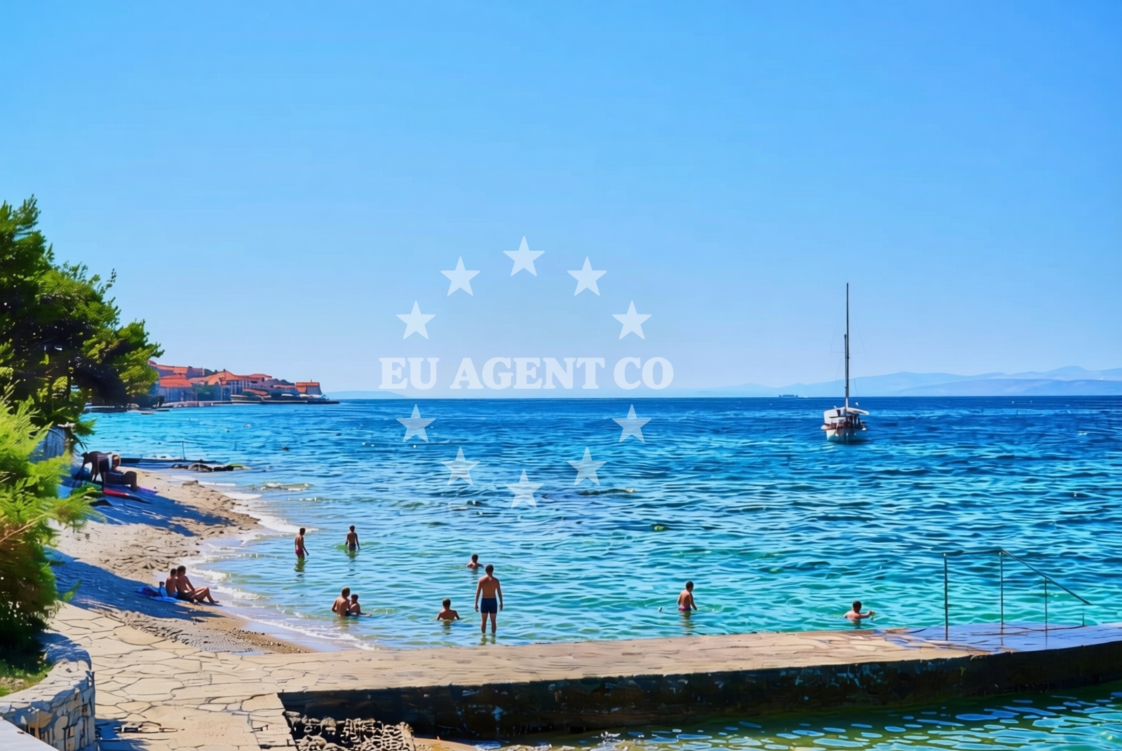
About this beach
Grlica, Sutivan (Brač)
Beach: Grlica
Location: Sutivan (Brač)
Characteristics and facilities
Gravel, concrete / stone slabs, rocks
300 m
Natural shade
Beach character
The beach’s surface is composed of gravel, concrete slabs, and exposed rock formations, reflecting Brač’s limestone geology. These features make it less conventional for sunbathing but offer a rugged charm that appeals to visitors seeking a more authentic coastal experience. The 300-meter length provides ample space for casual strolls, and the natural shade from overhanging cliffs and dense vegetation offers respite during peak hours. The absence of artificial amenities means the beach retains its raw, unspoiled character, though visitors should bring their own supplies for comfort.
Swimming and shore
Swimming conditions at Grlica are dictated by the beach’s rocky and gravelly terrain. The shoreline is uneven, with deeper water near the rocks and shallower areas closer to the gravel. While not a primary swimming spot, the beach can serve as a vantage point for observing marine life in the clear Adriatic waters. The shore’s topography makes it more suitable for exploration on foot than for water activities, though the nearby village of Sutivan offers access to more conventional beach amenities.
Facilities and activities
No formal facilities or services are listed for Grlica Beach itself. The lack of amenities such as showers, toilets, or umbrellas means visitors should plan accordingly. However, the beach’s proximity to Sutivan—a village known for its traditional stone houses and local crafts—offers opportunities to explore nearby shops, cafes, and cultural sites. The area’s rugged beauty is best appreciated through hiking trails on Brač, which connect to other coastal landmarks and viewpoints.
Access and location
Grlica Beach is located in Sutivan, a village on the island of Brač, which lies approximately 20 kilometers east of the town of Supetar, Brač’s main hub. The island is a popular destination for yacht charter travelers due to its sheltered bays, clear waters, and proximity to the UNESCO-listed Adriatic coastline. Visitors arriving by land can reach Sutivan via a network of rural roads, while those arriving by sea may dock at Supetar’s marina before exploring the island’s eastern shore by car or bike.
What to expect
Grlica Beach is a secluded, low-key destination that prioritizes natural landscapes over modern comforts. Expect a shoreline of gravel, concrete slabs, and rocks, with limited shade provided by natural formations. The beach is not suited for families seeking traditional amenities but may appeal to those interested in Brač’s geological and cultural heritage. The surrounding area offers hiking trails and access to Sutivan’s traditional architecture, though visitors should be prepared for minimal infrastructure at the beach itself.
Practical tips
Bring sturdy footwear for walking on the gravel and rocky terrain. Sun protection is advisable despite the natural shade, as the Adriatic sun can be intense. Consider visiting during early morning or late afternoon for more comfortable temperatures. The nearby village of Sutivan provides basic amenities for meals and supplies.
Exploring the coast by yacht
For yacht charter guests, Brač offers a compelling sailing destination with its sheltered bays, clear waters, and proximity to the Dalmatian Coast. Grlica Beach lies along a section of coastline that is accessible to motor yachts and sailing boats, though its rocky nature makes it unsuitable for anchoring. Nearby marinas in Supetar and Bol provide docking options for charter vessels exploring the island’s eastern shore. The area’s appeal to sailors is enhanced by its proximity to the Pakleni Islands and the broader Adriatic sailing routes.
Brač’s Geological and Cultural Significance
The island of Brač is renowned for its white limestone, which has been quarried for centuries and shaped the island’s landscape. Grlica Beach’s rocky terrain is a direct reflection of this geology. The village of Sutivan, where the beach is located, retains much of its traditional character, with stone houses and a historic church that date back to the medieval period. These cultural and natural elements combine to make Brač a destination of both geological and historical interest.
Anchorages in the surrounding area
Anchorages near Grlica, Sutivan (Brač) include Uvala Likva, Stiniva, and Stipanska.
- Uvala Likva — sutivan — brac — 1.2 NM from beach
- Stiniva — brac — 2.0 NM from beach
- Stipanska — brac — 2.1 NM from beach
- Anchorage — supetar — brac — 2.2 NM from beach
- Bobovišća — bobovisce — brac — 2.3 NM from beach
- Anchorage — milna brac — 4.9 NM from beach
- Anchorage — splitska — brac — 4.9 NM from beach
- Anchorage — milna brac — 4.9 NM from beach
Distances are straight-line geographic distances, not sailing routes.
Mooring buoys in the surrounding area
- Nautical Anchorage Bobovišća — bobovisce — brac — 2.3 NM from beach
- Nautical Anchorage Bobovišća — bobovisce — brac — 2.4 NM from beach
- Konoba Lucice buoys — milna brac — 4.8 NM from beach
- Buoy — milna brac — 4.9 NM from beach
- Osibova buoy field — milna brac — 4.9 NM from beach
Distances are straight-line geographic distances, not sailing routes.
Marine fuel stations
Fuel stations in Milna and Split serve the surrounding area of Grlica, Sutivan (Brač).
- Ina — milna brac — 4.0 NM from beach
- Ina — split — 7.6 NM from beach
- Ina — split — 8.1 NM from beach
- Fuel station — rogac — solta — 8.2 NM from beach
Distances are straight-line geographic distances, not sailing routes.
Harbours in the surrounding area
Harbors in Sutivan and Pod Mirca are located near Grlica, Sutivan (Brač).
- Sutivan — brac — 0.4 NM from beach
- Pod Mirca — brac — 1.5 NM from beach
- Bobovišće — bobovisce — brac — 2.4 NM from beach
- Supetar — brac — 2.9 NM from beach
- Milna — milna brac — 3.9 NM from beach
- Splitska — brac — 5.2 NM from beach
Distances are straight-line geographic distances, not sailing routes.
Marinas in the surrounding area
- Marina Vlaška — milna brac — 4.0 NM from beach
- ACI Marina Milna — milna brac — 4.0 NM from beach
- Marina Milna Kanarija — milna brac — 4.0 NM from beach
- Marina Lav — podstrana — 6.7 NM from beach
- ACI Marina Split — 7.4 NM from beach
Distances are straight-line geographic distances, not sailing routes.
Restaurants near the beach
Restaurants in Sutivan, such as Bracera and Miki, are close to Grlica, Sutivan (Brač).
- Bracera — sutivan — 0.3 NM from beach
- Miki — sutivan — brac — 0.3 NM from beach
- Porat — sutivan — brac — 0.4 NM from beach
- Mate — mirca — brac — 1.6 NM from beach
- Konoba Dalmatino — bobovisce — brac — 2.4 NM from beach
- Vala — bobovisce — brac — 2.4 NM from beach
- Konoba Vala — bobovisce — brac — 2.4 NM from beach
Distances are straight-line geographic distances, not sailing routes.
Navigation guides for the surrounding area
Navigation guides for Sutivan and Milna assist in exploring the area around Grlica, Sutivan (Brač).
- Sutivan — 0.2 NM from beach
- Uvala Stipanska — 1.8 NM from beach
- Luka Milna — 3.9 NM from beach
- Uvala Osibova — 4.8 NM from beach
- Uvala Lucice — 4.8 NM from beach
Distances are straight-line geographic distances, not sailing routes.
Yachts from nearby departure bases
Sailing yachts
- Hanse 455 (AURUM 1) — Milna Marina Vlaška — 4.0 NM from departure base to beach
- Hanse 505 (AVALON) — Milna Marina Vlaška — 4.0 NM from departure base to beach
- Hanse 388 (BANJO) — Milna Marina Vlaška — 4.0 NM from departure base to beach
- Bavaria 46 Cruiser (MO) — Milna Marina Vlaška — 4.0 NM from departure base to beach
- Jeanneau 53 (Win Win) — Podstrana Marina Lav — 6.7 NM from departure base to beach
Motor yachts
- Absolute 50 Fly (VivaLaVida) — Podstrana Marina Lav — 6.7 NM from departure base to beach
- Delfino 93 (Ocean Drive) — Podstrana Marina Lav — 6.7 NM from departure base to beach
Gulets / Cruisers
- Gulet cruiser (AGORA) — Dugi Rat Luka Krilo — 6.6 NM from departure base to beach
Motor boats
- Cranchi M44 HT (Brown Sugar) — Podstrana Marina Lav — 6.7 NM from departure base to beach
- Sessa C35 (Jupika) — Podstrana Marina Lav — 6.7 NM from departure base to beach
Distances are straight-line geographic distances, not sailing routes.