Rašćine, Lokva Rogoznica Beach, Croatia
Rašćine, Lokva Rogoznica Beach is a gravel shoreline stretching 190 meters along the Adriatic coast in Croatia. Located in the settlement of Rašćine, this beach is part of the broader Lokva Rogoznica area, a coastal stretch known for its natural landscapes and proximity to traditional Dalmatian villages. While the beach itself lacks formal amenities, its position within this region offers insights into the broader coastal environment and sailing opportunities in the area.
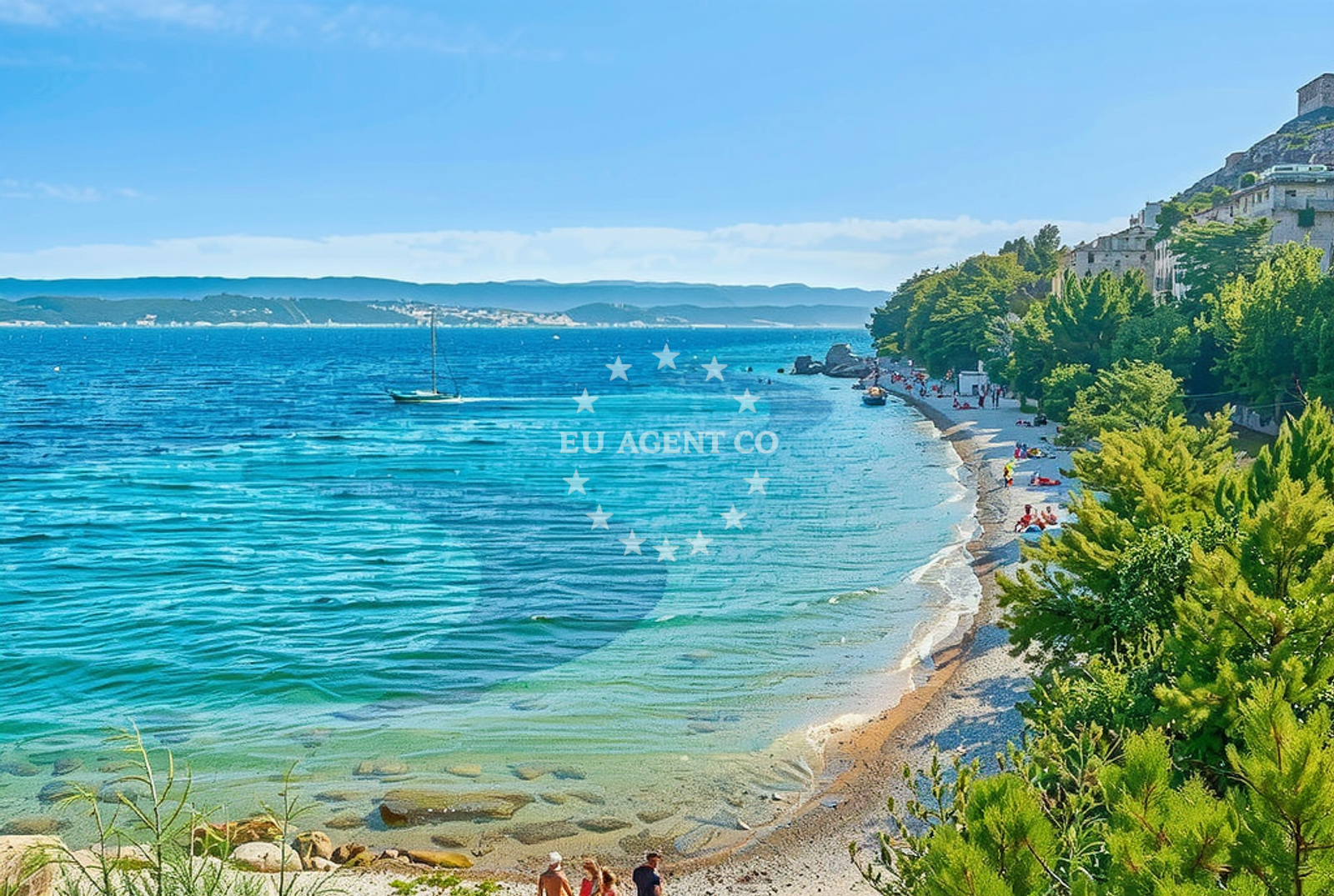
About this beach
Rašćine, Lokva Rogoznica
Beach: Rašćine
Location: Lokva Rogoznica
Characteristics and facilities
Gravel
190 m
Beach character
The beach is composed of gravel, a characteristic that distinguishes it from the more common sandy shores of the Adriatic. This composition may influence its use for recreational activities, offering a unique texture for sunbathing or walking along the shore. The 190-meter length provides a modest but defined space for visitors, though the absence of detailed facility records suggests a more natural, undeveloped setting.
Swimming and shore
Swimming conditions at Rašćine, Lokva Rogoznica Beach are not explicitly documented in the beach's catalog. Gravel shores can sometimes indicate calmer waters, but this is not guaranteed. Visitors should assess local conditions before entering the water. The shoreline's gravel composition may make it less ideal for swimming compared to sandy beaches, though it could offer a stable surface for walking or exploring the coastal edge.
Facilities and activities
No formal facilities such as showers, restrooms, or parking are listed for the beach itself. However, the surrounding area of Lokva Rogoznica and Rašćine may provide access to nearby settlements, where basic amenities are available. Activities associated with the beach are not specified in the catalog, though the region's coastal character suggests potential for walking, photography, or exploring nearby natural features.
Access and location
Rašćine, Lokva Rogoznica Beach is situated in the settlement of Rašćine, part of the broader Lokva Rogoznica coastal area. This region lies along the Adriatic coast, near the island of Šolta and the town of Supetar on Brač. The beach's proximity to these locations may offer opportunities to explore nearby villages, historical sites, or sailing routes. Access to the beach likely involves local roads connecting to the coastal stretch, though specific details on parking or pathways are not provided in the catalog.
What to expect
Rašćine, Lokva Rogoznica Beach is a gravel shoreline of 190 meters, offering a natural setting with minimal formal development. The beach's characteristics suggest a focus on unspoiled coastal access rather than structured amenities. Visitors should expect a landscape defined by gravel, which may influence recreational activities. The surrounding area of Lokva Rogoznica and Rašćine provides a context of traditional Dalmatian settlements, with potential for exploring nearby villages or natural landmarks. While no specific facilities are listed for the beach itself, the region's broader coastal environment may offer opportunities for walking, photography, or connecting with local cultural heritage.
Practical tips
Given the beach's gravel composition and lack of detailed facility records, visitors may want to prepare for a more natural, undeveloped experience. The surrounding area's proximity to traditional settlements suggests opportunities to explore nearby villages or historical sites. As with any coastal visit, checking local conditions for swimming safety and respecting natural environments are advisable.
Exploring the coast by yacht
The coastal region of Lokva Rogoznica and Rašćine lies within a sailing area popular among charter guests exploring the Adriatic. The proximity to Šolta and Brač offers potential for yacht excursions, with anchorages and marinas available in nearby settlements. While the beach itself is not a formal anchorage, its location provides a reference point for sailors navigating the area. Euro-Agent's yacht charter services can facilitate access to this region, allowing visitors to explore the coastline from aboard a motorboat or sailboat.
Regional Context and Nearby Settlements
The beach's location in Rašćine is part of the Lokva Rogoznica area, a coastal stretch that extends toward the island of Šolta and the town of Supetar on Brač. This region is characterized by traditional Dalmatian villages, olive groves, and vineyards, reflecting the area's agricultural heritage. Nearby settlements may offer access to local cuisine, crafts, or historical sites, enhancing the visitor experience beyond the beach itself.
Anchorages in the surrounding area
- Tri luke — povlja — brac — 3.9 NM from beach
- Anchorage — povlja — brac — 4.2 NM from beach
- Anchorage — povlja — brac — 4.2 NM from beach
- Anchorage — povlja — brac — 4.2 NM from beach
- Anchorage — povlja — brac — 4.3 NM from beach
- Anchorage — povlja — brac — 4.3 NM from beach
- Anchorage — povlja — brac — 4.6 NM from beach
- Anchorage — povlja — brac — 4.6 NM from beach
Distances are straight-line geographic distances, not sailing routes.
Mooring buoys in the surrounding area
Mooring buoys in the surrounding area are located near Povlja on Brac and Postira.
- Restaurant Pipo buoys — povlja — brac — 3.9 NM from beach
- Restaurant Pipo jetty — povlja — brac — 4.0 NM from beach
- Konoba Rojen jetty — povlja — brac — 4.0 NM from beach
- Quay — postira — brac — 5.5 NM from beach
- Baško Polje — basko polje — baska voda — 7.9 NM from beach
Distances are straight-line geographic distances, not sailing routes.
Marine fuel stations
Marine fuel stations are situated in Sumartin on Brac, Bol on Brac, and Ina in Makarska and Hvar.
- Fuel station — sumartin — brac — 7.6 NM from beach
- Fuel station — bol — brac — 10.6 NM from beach
- Ina — makarska — 11.7 NM from beach
- Ina — vrboska — hvar — 14.5 NM from beach
Distances are straight-line geographic distances, not sailing routes.
Harbours in the surrounding area
Harbours in the surrounding area include Mimice and Pisak on Brac, as well as Omiš on the mainland.
- Mimice — 0.6 NM from beach
- Pisak — 2.9 NM from beach
- Pučišća harbour — pucisca — brac — 4.3 NM from beach
- Omiš — omis — 5.0 NM from beach
- Stomarica — 5.4 NM from beach
- Brela — 6.4 NM from beach
Distances are straight-line geographic distances, not sailing routes.
Marinas in the surrounding area
- Marina Baška Voda — marina baska voda — 7.2 NM from beach
- Marina Ramova — krvavica — 9.5 NM from beach
- Marina Lav — podstrana — 12.4 NM from beach
- Marina Tučepi — marina tucepi — 14.3 NM from beach
- ACI Marina Vrboska — hvar — 14.6 NM from beach
Distances are straight-line geographic distances, not sailing routes.
Restaurants near the beach
Restaurants near the beach include Hideaway Pipo and Konoba Rojen in Povlja on Brac.
- Hideaway Pipo — povlja — brac — 4.0 NM from beach
- Konoba Rojen — povlja — brac — 4.0 NM from beach
- Pizzeria Marin — pucisca — brac — 4.4 NM from beach
- Lado — pucisca — brac — 4.4 NM from beach
- Kala — povlja — brac — 4.7 NM from beach
- Stara Uljara — povlja — brac — 4.7 NM from beach
Distances are straight-line geographic distances, not sailing routes.
Navigation guides for the surrounding area
Navigation guides for the surrounding area cover locations such as Uvala Luka and Pucisca near the beach.
- Mi mice — 0.7 NM from beach
- Uvala Luka — 3.9 NM from beach
- Pucisca — 4.1 NM from beach
- Omis — 4.7 NM from beach
- Dugi Rat (Uvala Orisac) — 7.0 NM from beach
Distances are straight-line geographic distances, not sailing routes.
Yachts from nearby departure bases
Sailing yachts
- Elan Impression 40 (KARLETA) — Baška Voda Port — 7.1 NM from departure base to beach
- Bavaria 50 (Marastina) — Baška Voda — 7.2 NM from departure base to beach
- Sun Odyssey 39i (Mia Pia) — Baška Voda — 7.2 NM from departure base to beach
- Bavaria 50 (NINA AC) — Baška Voda — 7.2 NM from departure base to beach
Catamarans
- Lagoon 450 (LAMANTIN) — Baška Voda — 7.2 NM from departure base to beach
Motor yachts
- Canados 86 (Karisma) — Baška Voda — 7.2 NM from departure base to beach
Gulets / Cruisers
- Gulet (Primorac) — Omiš City Port — 5.0 NM from departure base to beach
- Gulet (Trebenna) — Omiš City Port — 5.0 NM from departure base to beach
- Gulet (PATRONICE) — Omiš City Port — 5.1 NM from departure base to beach
Motor boats
- Pearl Sea 31 Hard Top (Aero) — Baška Voda Port — 7.1 NM from departure base to beach
Distances are straight-line geographic distances, not sailing routes.