Priluka, Rudina (Hvar) Beach, Croatia
9 photos
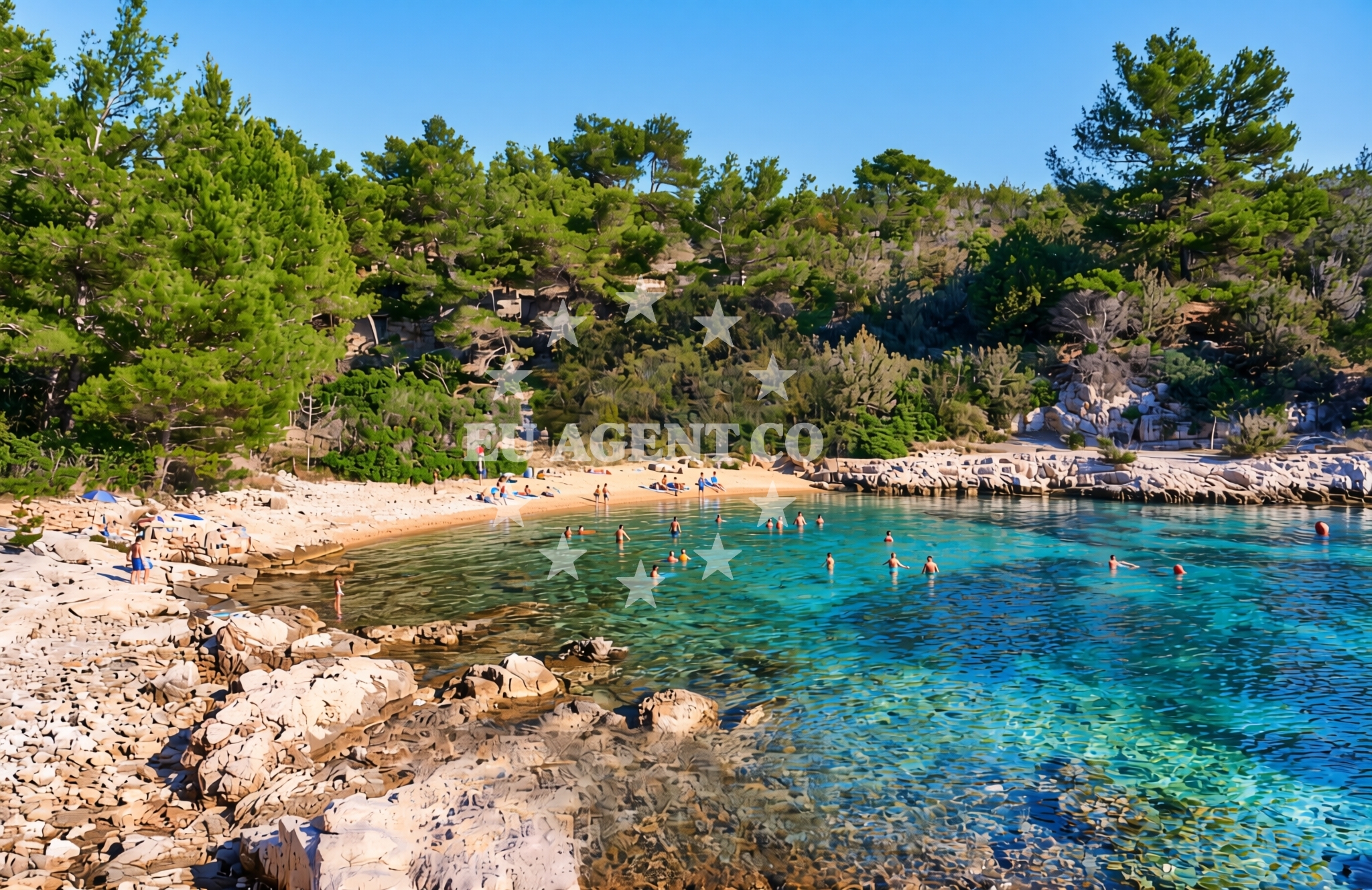
About this beach
Priluka, Rudina (Hvar)
Beach: Priluka
Location: Rudina (Hvar)
Characteristics and facilities
Gravel, rocks
Beach character
The beach's defining feature is its gravel and rock composition, which stretches along the shore without artificial modifications. The terrain is uneven, with scattered stones and patches of compacted gravel creating a surface that is more suited to walking or exploring than sunbathing. This natural profile aligns with the broader geological patterns of Hvar's coastline, where limestone formations and coastal erosion have shaped the landscape over millennia. The beach's lack of sand or fine pebbles means it is not typically associated with swimming, though the nearby waters of the Adriatic Sea are known for their clarity and mild temperatures during the summer months.Swimming and shore
While the beach itself is not ideal for swimming due to its rocky and gravelly nature, the adjacent waters of the Adriatic Sea are a draw for sailors and water enthusiasts. The shoreline's topography creates a natural boundary between land and sea, with deeper waters forming just beyond the rocky outcrops. This makes the area suitable for kayaking or snorkeling in calmer conditions, though visitors should exercise caution near the shore where the terrain is uneven.Facilities and activities
There are no structured amenities or facilities at Priluka, Rudina (Hvar) Beach. The absence of infrastructure such as lifeguard stations, showers, or parking reflects the beach's status as a remote, unspoiled stretch of coastline. Activities here are limited to passive exploration of the natural terrain, photography, and brief forays into the sea from the water's edge. The beach's characteristics make it an unlikely candidate for organized events or recreational sports, though its isolation offers a rare opportunity to observe coastal ecosystems in their undisturbed state.Access and location
Priluka, Rudina (Hvar) Beach is located in the village of Rudina on the island of Hvar, approximately 25 kilometers southeast of the town of Hvar. The island of Hvar itself is a hub of cultural and historical significance, with medieval fortifications, vineyards, and a vibrant port town that serves as a gateway to the broader Adriatic sailing routes. Access to the beach requires navigating the island's rural roads, which connect Rudina to the main settlements of Hvar. The nearest major marina, Hvar Port, is a common starting point for yachts exploring the islands of Vis, Brac, and the central Dalmatian coast.What to expect
Visitors to Priluka, Rudina (Hvar) Beach should expect a landscape defined by gravel and rock, with minimal infrastructure and no organized services. The beach is best suited for those interested in experiencing the natural contours of Hvar's coastline, though its terrain may not be comfortable for prolonged stays. The surrounding area of Rudina offers limited local amenities, with the village itself serving as a quiet, rural outpost on the island. For those seeking more developed coastal experiences, the nearby town of Hvar provides a range of dining, shopping, and cultural attractions.Practical tips
Given the beach's gravel and rock composition, visitors are advised to wear sturdy footwear to navigate the uneven terrain. Sun protection is recommended even on overcast days, as the Adriatic Sea can reflect sunlight intensely. The lack of facilities means there are no options for food, water, or shade, so self-sufficiency is essential. Those planning to explore the area by boat should note that the beach is not a designated anchorage, though nearby waters are accessible to yachts and motorboats.Exploring the coast by yacht
The waters around Hvar are a key part of the Adriatic's sailing network, with routes connecting the island to the Dalmatian coast, the Pelješac Peninsula, and the islands of Vis and Brac. Yachts frequently use Hvar Port as a base for exploring the region's limestone islets, caves, and coastal towns. While Priluka, Rudina (Hvar) Beach itself is not a marina or anchorage, its location on the island's western coast places it within reach of these broader sailing routes. Charter boats may pass through the area during extended itineraries, though the beach's remote nature means it is not a common stop for crewed or skippered charters.Cultural and Historical Context of Hvar
The island of Hvar has a rich history dating back to ancient Greek and Roman times, with its medieval fortifications and Renaissance architecture reflecting centuries of influence. The village of Rudina, where Priluka Beach is located, is part of this historical tapestry, though it remains less developed than Hvar's more famous coastal settlements. The island's vineyards, particularly those producing the Plavac Mali grape, are a significant part of its economy and cultural identity.Anchorages in the surrounding area
- Anchorage — stari grad — hvar — 0.7 NM from beach
- Anchorage — stari grad — hvar — 0.8 NM from beach
- Anchorage — stari grad — hvar — 0.9 NM from beach
- Anchorage — hvar — 1.1 NM from beach
- Anchorage — stari grad — hvar — 1.2 NM from beach
- Anchorage — hvar — 1.3 NM from beach
- Anchorage — hvar — 1.6 NM from beach
- Anchorage — hvar — 2.1 NM from beach
Distances are straight-line geographic distances, not sailing routes.
Mooring buoys in the surrounding area
- Buoy field — stari grad — hvar — 0.7 NM from beach
- Buoy field Stari Grad — hvar — 1.0 NM from beach
- Buoy field — stari grad — hvar — 1.2 NM from beach
- Buoy field — stari grad — hvar — 1.5 NM from beach
- Quay — stari grad — hvar — 1.5 NM from beach
Distances are straight-line geographic distances, not sailing routes.
Marine fuel stations
- Fuel station — bol — brac — 4.2 NM from beach
- Ina — vrboska — hvar — 5.3 NM from beach
- Fuel station — hvar — 6.6 NM from beach
- Ina — milna brac — 8.3 NM from beach
Distances are straight-line geographic distances, not sailing routes.
Harbours in the surrounding area
- Stari Grad — hvar — 2.6 NM from beach
- Bol — brac — 4.3 NM from beach
- Vrboska — hvar — 5.2 NM from beach
- Marina Bilo Idro — sveta nedjelja — hvar — 5.5 NM from beach
- Hvar — 6.6 NM from beach
- Vira — hvar — 6.6 NM from beach
Distances are straight-line geographic distances, not sailing routes.
Marinas in the surrounding area
- ACI Marina Vrboska — hvar — 5.3 NM from beach
- ACI Marina Milna — milna brac — 8.1 NM from beach
- Marina Milna Kanarija — milna brac — 8.3 NM from beach
- Marina Vlaška — milna brac — 8.5 NM from beach
- ACI Marina Palmižana — aci marina palmizana — st klement — 8.6 NM from beach
Distances are straight-line geographic distances, not sailing routes.
Restaurants near the beach
- Konoba Zavala — stari grad — hvar — 1.5 NM from beach
- Eremitaz — stari grad — hvar — 2.5 NM from beach
- Jerolim — stari grad — hvar — 2.5 NM from beach
- Stari Mlin — stari grad — hvar — 2.7 NM from beach
- Restaurant — stari grad — hvar — 2.7 NM from beach
- Restaurant — stari grad — hvar — 2.7 NM from beach
- Đardin — stari grad — hvar — 2.7 NM from beach
Distances are straight-line geographic distances, not sailing routes.
Navigation guides for the surrounding area
- Luka Vlaska — 1.2 NM from beach
- Uvala Glavna — 1.4 NM from beach
- Luka Zavala — 1.5 NM from beach
- Uvala Gracisce — 2.2 NM from beach
- Bol — 4.6 NM from beach
Distances are straight-line geographic distances, not sailing routes.
Yachts from nearby departure bases
Sailing yachts
- Hanse 505 (AVALON) — Milna Marina Vlaška — 8.5 NM from departure base to beach
- Hanse 388 (BANJO) — Milna Marina Vlaška — 8.5 NM from departure base to beach
- Hanse 455 (AURUM 1) — Milna Marina Vlaška — 8.5 NM from departure base to beach
- Bavaria 46 Cruiser (MO) — Milna Marina Vlaška — 8.5 NM from departure base to beach
Catamarans
- Lagoon 450 Fly (Falco) — Sumpetar Port — 13.7 NM from departure base to beach
Gulets / Cruisers
- Gulet (Cataleya) — Sumpetar Port — 13.7 NM from departure base to beach
- Gulet (Altair) — Sumpetar Port — 13.7 NM from departure base to beach
- Gulet (Trebenna) — Omiš City Port — 14.1 NM from departure base to beach
- Gulet (Primorac) — Omiš City Port — 14.1 NM from departure base to beach
- Gulet cruiser (AGORA) — Dugi Rat Luka Krilo — 14.1 NM from departure base to beach
Distances are straight-line geographic distances, not sailing routes.
Nearby beaches
Trovna beach
Rudina 156, Stari Grad
0.6 km
Vlaška istok, Rudina (Hvar)
Vlaška istok
1.6 km
Vlaška jug, Rudina (Hvar)
Vlaška jug
1.8 km
Zhukova beach
Rudina 156, Stari Grad
2.4 km
Zavala, Rudina (Hvar)
Zavala
2.7 km
Rudina (Hvar): beaches and coves (6)
Rudina (Hvar)
3.0 km
Brizenica Bay
, Stari Grad
3.5 km
Stari Grad beach
Naselje Helios 5, Stari Grad
4.2 km