Predošćica (Cres): Beaches and Coves, Croatia
About this beach
Predošćica (Cres): beaches and coves
Beach character
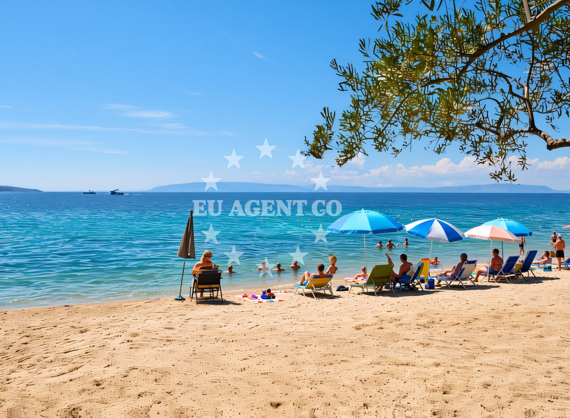
The beaches and coves of Predošćica are defined by their natural simplicity. The shoreline is predominantly composed of pebbles and small stones, with limited stretches of sand in sheltered areas. The waters here are typically clear, reflecting the deep blue of the Adriatic. The coastline is punctuated by rocky outcrops and narrow inlets, creating a landscape that feels both remote and rugged. While there are no formal beach facilities, the area's appeal lies in its raw, unaltered character, offering a stark contrast to the more developed coastal regions of Croatia.Swimming and shore
Swimming conditions in Predošćica are generally favorable during the summer months, with calm waters in the sheltered coves. The pebbled shorelines make for easy access to the sea, though visitors should be mindful of the terrain when entering and exiting the water. The absence of artificial structures means that the swimming experience here is dictated entirely by natural conditions, with no lifeguard services or designated swimming zones.Facilities and activities
There are no official facilities such as restrooms, showers, or umbrellas at Predošćica's beaches. However, the area's natural setting supports a range of informal activities. Snorkeling is popular in the clearer waters of the coves, and the surrounding cliffs provide opportunities for hiking and exploring. The lack of infrastructure means that visitors should come prepared with their own supplies, including water, food, and sun protection.Access and location
Predošćica is located on the northern coast of Cres Island, approximately 15 kilometers from the island's main town of Cres. The nearest major road access point is via the island's coastal road, which runs parallel to the shoreline. While there are no direct ferry services to Predošćica, visitors can reach the area by car or motorcycle from the island's central settlements. The coordinates (45.0419655, 14.3716234) place it in a region that is part of the broader Kvarner Gulf, an area known for its sailing routes and scenic coastal paths.What to expect
Predošćica is best suited for visitors seeking a quiet, natural coastline experience. The beaches are not crowded, and the area is more appealing to those who prefer solitude over amenities. The rocky terrain and lack of facilities mean that this is not a family-friendly destination in the conventional sense, but it offers a unique opportunity to explore the Adriatic's lesser-known shores. The best time to visit is during the late spring and early autumn, when the weather is mild and the sea is at its most inviting.Practical tips
Visitors should bring their own refreshments, sunscreen, and water, as there are no on-site services. The pebbled beaches may be uncomfortable for those unaccustomed to such terrain. Parking is limited near the shoreline, so arriving early is advisable if accessing by car. The area is best explored on foot or by bike, given the lack of road infrastructure along the coast.Exploring the coast by yacht
For yacht charter guests, the waters around Cres offer a compelling mix of sheltered bays and open sea routes. Predošćica's proximity to the island's northern coastline makes it a convenient stop for sailors exploring the Kvarner Gulf. The region is part of a larger sailing network that includes the nearby islands of Lošinj and Rab, as well as the mainland coast of Istria. Charterers can use the Euro-Agent Yacht Search platform to find vessels that operate in this area, with options ranging from motor yachts to sailing boats suited for coastal cruising.Cultural and Historical Context
Cres Island has a long history of maritime activity, with evidence of ancient Roman settlements and medieval fortifications along its coast. The island's sparse population and rugged terrain have preserved much of its historical character, though modern tourism is beginning to influence certain areas. Predošćica, however, remains largely unaffected by development, maintaining its role as a natural rather than cultural attraction.Anchorages in the surrounding area
Anchorages near Krk and Cres offer nearby options for mooring in the surrounding area.
- Anchorage — krk — 3.4 NM from beach
- Anchorage — krk — 3.5 NM from beach
- Anchorage — beli — cres — 4.0 NM from beach
- Anchorage — pinezici — krk — 4.1 NM from beach
- Camp Glavotok — krk — 4.2 NM from beach
- Anchorage — pinezici — krk — 4.3 NM from beach
- Anchorage — pinezici — krk — 4.4 NM from beach
- Anchorage — krk — 4.7 NM from beach
Distances are straight-line geographic distances, not sailing routes.
Mooring buoys in the surrounding area
- Jetty — pinezici — krk — 4.1 NM from beach
- Jetty — pinezici — krk — 4.1 NM from beach
- Camp Glavotok — krk — 4.3 NM from beach
- Buoy field — pinezici — krk — 4.4 NM from beach
- Jetty — pinezici — krk — 4.4 NM from beach
Distances are straight-line geographic distances, not sailing routes.
Marine fuel stations
- Fuel station — cres — 5.3 NM from beach
- OMV — krk — 5.4 NM from beach
- Ina — cres — 5.8 NM from beach
- Ina — krk — 8.5 NM from beach
Distances are straight-line geographic distances, not sailing routes.
Harbours in the surrounding area
Harbors in Krk and Cres include nearby facilities such as Glavotok and Beli.
- Club Harbour — krk — 3.5 NM from beach
- Glavotok — krk — 3.9 NM from beach
- Beli — cres — 4.0 NM from beach
- Smokovac Bay — merag — cres — 4.9 NM from beach
- Cres harbour — 5.2 NM from beach
- Cres Boatyard Marina — 5.3 NM from beach
Distances are straight-line geographic distances, not sailing routes.
Marinas in the surrounding area
Marinas in Cres and Krk, including ACI Marina Cres and Marina Punat, are located in the surrounding area.
- ACI Marina Cres — 5.9 NM from beach
- Marina Punat — krk — 10.8 NM from beach
- Omišalj Docks — omisalj — krk — 12.6 NM from beach
- Šilo — silo — krk — 14.2 NM from beach
- ACI Marina Opatija — 16.7 NM from beach
Distances are straight-line geographic distances, not sailing routes.
Restaurants near the beach
Restaurants in Beli (Cres) and Pinezici (Krk) are situated near the beach.
- Restaurant — beli — cres — 4.0 NM from beach
- Restaurant — pinezici — krk — 4.3 NM from beach
Distances are straight-line geographic distances, not sailing routes.
Navigation guides for the surrounding area
Navigation guides for Cres and nearby areas like Uvala Cavlena assist with local sailing routes.
- Luka Torkul — 3.4 NM from beach
- Uvala Vala Jana — 3.6 NM from beach
- Uvala Sv. Fuska — 4.6 NM from beach
- Cres — 5.5 NM from beach
- Uvala Cavlena — 5.5 NM from beach
Distances are straight-line geographic distances, not sailing routes.
Yachts from nearby departure bases
Yachts departing from Malinska, Rabac Port, and Krk Marina Punat are based in nearby locations.
Sailing yachts
- Sun Odyssey 29.2 (Mirabai) — Malinska Hotel Malin port — 7.9 NM from departure base to beach
- Elan 333 (Brina) — Rabac Port — 9.3 NM from departure base to beach
- Elan Impression 40 (Silente) — Rabac Port — 9.3 NM from departure base to beach
- Bavaria 30 Cruiser (Ana) — Rabac Port — 9.3 NM from departure base to beach
- Dufour 460 Grand (Harvey) — Krk Marina Punat — 10.8 NM from departure base to beach
- Bavaria 33 Cruiser (CURA ) — Krk Marina Punat — 10.8 NM from departure base to beach
Catamarans
- Lavezzi 40 (La Prima ) — Krk Marina Punat — 10.8 NM from departure base to beach
- Lagoon 42 (LOLINA) — Krk Marina Punat — 10.8 NM from departure base to beach
Motor yachts
- Ferretti 460 (Summertime) — Krk Marina Punat — 10.8 NM from departure base to beach
Motor boats
- Monte Carlo 37 Hard Top (Tindra) — Krk Marina Punat — 10.8 NM from departure base to beach
Distances are straight-line geographic distances, not sailing routes.