Podstrana - Grbavac Beaches and Coves: A Coastal Guide, Croatia
About this beach
Podstrana - Grbavac: beaches and coves
Beach character
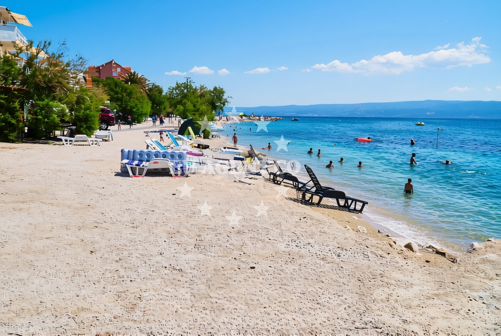
The beaches of Grbavac are characterized by their mix of pebble and sand, framed by limestone cliffs that rise steeply from the sea. The waters here are typically clear, with depths varying between shallow coves and deeper channels that follow the island's coastline. While the area lacks formal beach infrastructure, the natural topography creates sheltered pockets ideal for swimming and sunbathing. The absence of large-scale development means the coastline retains its traditional appearance, with fishing boats occasionally visible in the distance.Swimming and shore
Swimming conditions are generally favorable, with calmer waters in the more protected coves. The rocky shoreline creates natural pools in some areas, though these can be unstable. The lack of artificial beach structures means visitors should exercise caution when entering the water. Snorkeling is possible in clearer sections, where marine life such as sea urchins and occasional fish species can be observed. The shore itself is uneven, with scattered stones and limited flat areas for sunbathing.Facilities and activities
There are no formal facilities at the Grbavac beaches themselves, but the nearby village of Grbavac offers basic amenities including small shops and taverns serving local seafood. The area is popular with kayakers and windsurfers due to the consistent sea breezes that sweep across the island. For those arriving by yacht, the proximity to Supetar Marina (approximately 8km northeast) provides access to full-service facilities, including fuel stations, provisioning stores, and charter yacht offices.Access and location
The Grbavac beaches are accessible via a combination of road and coastal paths. The main road from Supetar to the village of Grbavac runs parallel to the coastline, with several parking areas available along the way. For those arriving by yacht, the nearest marina is Supetar Marina, which serves as a hub for both local and international charter vessels. The area's location on Brač Island places it within easy reach of other Dalmatian islands, with Hvar and Vis lying to the south and west respectively.What to expect
Visitors should expect a rugged, undeveloped coastline with natural beauty as the primary attraction. The beaches are best suited for those seeking solitude and a connection with the Adriatic landscape. While there are no lifeguards or formal safety measures, the area is generally safe for swimming in calmer weather. The nearby village of Grbavac provides essential services, though visitors should bring their own supplies for extended stays. The lack of modern infrastructure means the experience here is more about immersion in the natural environment than convenience.Practical tips
For those planning a visit, early morning arrivals tend to find the beaches less crowded. The rocky terrain makes it advisable to wear sturdy footwear when exploring the shoreline. Yacht charter guests should note that Supetar Marina is the primary base for boats operating in this area, with regular ferry connections to Split and other mainland ports.Exploring the coast by yacht
The Grbavac coastline is a favored route for sailors exploring the Brač archipelago. The sheltered waters and consistent winds make it suitable for both sailing and motorboat excursions. Charter yachts often use Supetar Marina as a starting point for trips to the nearby islands of Hvar and Vis, with the Grbavac beaches serving as a natural stopover. The area's proximity to the famous Bol Beach and the island's famous wine regions adds to its appeal for yacht charter guests seeking a combination of natural beauty and cultural experiences.Regional Context and Coastal Patterns
The Grbavac coastline follows a typical pattern of the Brač Island's southern shore, where the limestone bedrock creates a series of natural inlets. This geological formation influences the distribution of beaches, with deeper channels separating the more sheltered coves. The same landscape that defines the Grbavac area extends to the nearby village of Lopar, where similar pebbled beaches and cliffs are found. This continuity of terrain makes the entire southern Brač coast a cohesive sailing and exploration area.Anchorages in the surrounding area
Anchorages in Split and Brac offer nearby options for mooring.
- Anchorage — split — 5.5 NM from beach
- Anchorage — supetar — brac — 6.0 NM from beach
- Anchorage — splitska — brac — 6.6 NM from beach
- Anchorage — postira — brac — 7.0 NM from beach
- Anchorage — split — 7.1 NM from beach
- Uvala Likva — sutivan — brac — 7.1 NM from beach
- Stipanska — brac — 8.2 NM from beach
- Anchorage — postira — brac — 8.3 NM from beach
Distances are straight-line geographic distances, not sailing routes.
Mooring buoys in the surrounding area
- Jetty — podstrana — 0.8 NM from beach
- Promenade — split — 5.7 NM from beach
- Nautical Anchorage Bobovišća — bobovisce — brac — 8.9 NM from beach
- Quay — postira — brac — 8.9 NM from beach
- Nautical Anchorage Bobovišća — bobovisce — brac — 9.0 NM from beach
Distances are straight-line geographic distances, not sailing routes.
Marine fuel stations
Fuel stations in Split and surrounding areas ensure easy refueling.
- Ina — split — 5.6 NM from beach
- Ina — split — 5.9 NM from beach
- Flash — kastel gomilica — 7.5 NM from beach
- Ina — milna brac — 10.6 NM from beach
Distances are straight-line geographic distances, not sailing routes.
Harbours in the surrounding area
- Clubharbour Podstrana — 1.4 NM from beach
- Stobreč — stobrec — 1.7 NM from beach
- Krilo — jesenice — 2.3 NM from beach
- Sumpetar — dugi rat — 3.6 NM from beach
- PŠD Zenta — psd zenta — split — 4.3 NM from beach
- Dugi Rat — 4.4 NM from beach
Distances are straight-line geographic distances, not sailing routes.
Marinas in the surrounding area
Marinas in Podstrana and Split offer convenient bases for yachts.
- Marina Lav — podstrana — 0.9 NM from beach
- ACI Marina Split — 5.6 NM from beach
- Marina Kaštela — marina kastela — kastel gomilica — 7.7 NM from beach
- Marina Vlaška — milna brac — 10.6 NM from beach
- ACI Marina Milna — milna brac — 10.6 NM from beach
Distances are straight-line geographic distances, not sailing routes.
Restaurants near the beach
Restaurants in Podstrana and Split provide dining options near the beach.
- Leonis — podstrana — 1.0 NM from beach
- Skampino — podstrana — 1.0 NM from beach
- Fabio — podstrana — 1.0 NM from beach
- Velo Misto — split — 4.4 NM from beach
- Kalafatić — kalafatic — split — 4.4 NM from beach
Distances are straight-line geographic distances, not sailing routes.
Navigation guides for the surrounding area
Navigation guides in Split and nearby areas assist with local sailing routes.
- Kairos — 0.9 NM from beach
- Pomorsko Sportsko Drustvo (PSD) Zenta (Uvala Zenta) — 4.2 NM from beach
- Dugi Rat (Uvala Orisac) — 4.5 NM from beach
- Split — 5.2 NM from beach
- Kastel Sucurac — 6.6 NM from beach
Distances are straight-line geographic distances, not sailing routes.
Yachts from nearby departure bases
Sailing yachts
- Jeanneau 53 (Win Win) — Podstrana Marina Lav — 0.9 NM from departure base to beach
Motor yachts
- Ferretti 460 — Podstrana Marina Lav — 0.9 NM from departure base to beach
- Ferretti 450 (Lady Esmeralda) — Podstrana Marina Lav — 0.9 NM from departure base to beach
- Azimut Magellano 60 (Amparito XIII) — Podstrana Marina Lav — 0.9 NM from departure base to beach
- Motoryacht (Adriatic Escape) — Podstrana Marina Lav — 0.9 NM from departure base to beach
- Aicon 56 (Senza Parole) — Podstrana Marina Lav — 0.9 NM from departure base to beach
Motor boats
- Targa 48 (La Pietra) — Podstrana Marina Lav — 0.9 NM from departure base to beach
- Princess 42 (Touche) — Podstrana Marina Lav — 0.9 NM from departure base to beach
- Libeccio 13.5 (no Name) — Podstrana Marina Lav — 0.9 NM from departure base to beach
- Sessa Fly 42 (Jupika II) — Podstrana Marina Lav — 0.9 NM from departure base to beach
Distances are straight-line geographic distances, not sailing routes.