Ploče, Novalja (Pag) Beach, Croatia
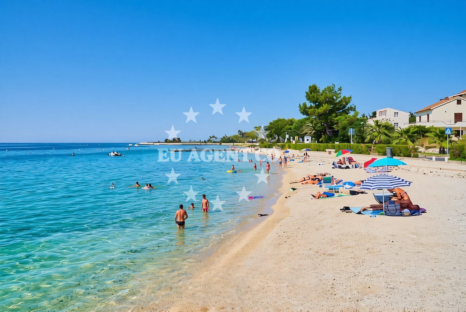
About this beach
Ploče, Novalja (Pag)
Beach: Ploče
Location: Novalja (Pag)
Characteristics and facilities
Gravel, concrete / stone slabs
720 m
Beach character
The beach's surface consists of gravel and concrete/stone slabs, creating a firm and stable shoreline that is more suited for walking than swimming. Its length of 720 meters provides ample space along the coast, though the lack of sand means it differs from the island's more conventional beach offerings. The area's geological composition reflects Pag's broader coastal characteristics, where limestone formations and rocky outcrops are common features.Swimming and shore
While the beach's gravel and stone slabs make it unsuitable for swimming, the shoreline provides direct access to the Adriatic Sea. The absence of sandy areas means it is not ideal for sunbathing or water activities typically associated with sandy beaches. However, the firm surface allows for easy movement along the coast, making it a practical access point for exploring the surrounding maritime environment.Facilities and activities
No specific facilities or activities are explicitly listed for this beach. Its primary function appears to be as a coastal access point rather than a recreational destination with amenities. The surrounding area of Ploče, however, offers historical and cultural attractions, including medieval fortifications and traditional saltworks that reflect the region's long-standing connection to maritime industries.Access and location
Situated in Ploče, a settlement on the northern coast of Pag Island, the beach is part of a region known for its rugged coastline and historic sites. Pag itself is a prominent island in the Adriatic, characterized by its limestone terrain and salt production heritage. The beach's location near the mainland provides a strategic point for exploring both the island's interior and the broader Dalmatian coast.What to expect
Visitors should expect a shoreline composed of gravel and concrete/stone slabs rather than sand. The beach serves as a direct access point to the Adriatic Sea, offering views of the open water and the surrounding limestone cliffs typical of Pag's coastline. The area's historical significance, including Ploče's medieval architecture and salt production legacy, provides context for those interested in the region's cultural heritage. While no amenities are listed, the beach's position in Ploče offers opportunities to explore nearby historical sites and traditional industries.Practical tips
The beach's gravel surface may be challenging for those unaccustomed to walking on uneven terrain. Visitors interested in exploring Ploče's historical sites may want to combine their visit with a tour of the town's medieval fortifications or saltworks. The area's proximity to the mainland makes it a convenient starting point for exploring Pag Island's interior or traveling to other coastal settlements.Exploring the coast by yacht
Pag Island's coastline, including the area around Ploče, is part of a popular sailing region in the Adriatic. The island's sheltered bays and nearby marinas make it a common stop for yachts exploring the Dalmatian coast. While this specific beach is not marked as an anchorage or marina, its location in Ploče provides access to the broader sailing network that includes nearby ports and anchorages along the Croatian coast.Historical Context of Ploče
Ploče has a long history tied to maritime industries, particularly salt production. The town's medieval fortifications and traditional saltworks are remnants of its role in the Adriatic trade network. This historical legacy continues to shape the region's identity, offering visitors a glimpse into Croatia's coastal heritage.Anchorages in the surrounding area
Anchorages near Novalja on Pag offer nearby mooring options.
- Anchorage — novalja — pag — 0.4 NM from beach
- Anchorage — stara novalja — pag — 1.0 NM from beach
- Anchorage — novalja — pag — 1.1 NM from beach
- Straško — novalja — pag — 1.3 NM from beach
- Anchorage — skunca — pag — 1.5 NM from beach
- Anchorage — novalja — pag — 2.4 NM from beach
- Anchorage — dabova — pag — 2.6 NM from beach
- Anchorage — pag — 3.0 NM from beach
Distances are straight-line geographic distances, not sailing routes.
Mooring buoys in the surrounding area
- Buoy field — novalja — pag — 0.3 NM from beach
- Drljanda — stara novalja — pag — 2.5 NM from beach
- Jetty — zubovici — pag — 5.2 NM from beach
- Jetty — zubovici — pag — 5.4 NM from beach
- Jetty — jakisnica — pag — 5.9 NM from beach
Distances are straight-line geographic distances, not sailing routes.
Marine fuel stations
- Ina — rab — 12.6 NM from beach
- Ina — mali losinj — 17.5 NM from beach
- Adria Oil — mali losinj — 17.7 NM from beach
- Tifon — nerezine — losinj — 21.2 NM from beach
Distances are straight-line geographic distances, not sailing routes.
Harbours in the surrounding area
- Novalja — pag — 0.5 NM from beach
- Stara Novalja — pag — 2.1 NM from beach
- Žigljen — zigljen — pag — 3.6 NM from beach
- Prizna — 4.9 NM from beach
- Jakišnica — jakisnica — pag — 6.3 NM from beach
- Mišnjak — misnjak — rab — 8.6 NM from beach
Distances are straight-line geographic distances, not sailing routes.
Marinas in the surrounding area
- ACI Marina Šimuni — simuni — pag — 6.6 NM from beach
- ACI Marina Rab — 12.5 NM from beach
- ACI Marina Supetarska Draga — rab — 15.7 NM from beach
- Y/C Marina Mali Lošinj — mali losinj — 17.5 NM from beach
- Marina Lošinj — mali losinj — 17.7 NM from beach
Distances are straight-line geographic distances, not sailing routes.
Restaurants near the beach
Restaurants in Novalja offer dining options close to the beach.
- Konoba 85 — novalja — pag — 0.7 NM from beach
- Konoba Antika — novalja — pag — 0.7 NM from beach
- La Paloma — novalja — pag — 0.7 NM from beach
- Stari Kaštel — novalja — pag — 0.7 NM from beach
- No. 5 — novalja — pag — 0.8 NM from beach
- Restaurant — novalja — pag — 0.8 NM from beach
- Restaurant — novalja — pag — 0.8 NM from beach
Distances are straight-line geographic distances, not sailing routes.
Navigation guides for the surrounding area
Navigation guides for Novalja and nearby areas assist with route planning.
- Novalja — 0.9 NM from beach
- Caska — 2.6 NM from beach
- Uvala Prizna — 5.0 NM from beach
- Uvala Jakisnica — 6.1 NM from beach
- Uvala Zavratnica — 8.4 NM from beach
Distances are straight-line geographic distances, not sailing routes.
Yachts from nearby departure bases
Sailing yachts
- First 45 (Egeria) — Šimuni Kolan ACI Marina — 6.5 NM from departure base to beach
- Elan 40 Impression (Laali) — Mali Lošinj — 17.5 NM from departure base to beach
- Bavaria 46 Cruiser (DEA) — Mali Lošinj — 17.5 NM from departure base to beach
Motor yachts
- Absolute 50 Fly (Acrobat) — Rab ACI Marina — 12.5 NM from departure base to beach
Motor boats
- Balt 818 Titanium (Valentina 2) — Novalja — 0.6 NM from departure base to beach
- Balt 818 Titanium (Valentina) — Novalja — 0.6 NM from departure base to beach
- BWA Sport 22GT (BWA ) — Pag City Port — 10.6 NM from departure base to beach
- Merry Fisher 895 — Povljana Marina — 16.3 NM from departure base to beach
- Merry Fisher 895 (Zablace) — Mali Lošinj — 17.5 NM from departure base to beach
- Galeon Galia 630 blue — Mali Lošinj — 17.5 NM from departure base to beach
Distances are straight-line geographic distances, not sailing routes.