Plat sredina, Zubovići (Pag) Beach, Croatia
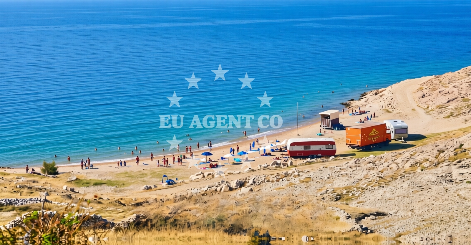
Plat sredina Beach lies along the southern coast of Pag, an island known for its stark, windswept landscapes and historical salt production. This 90-meter-long shoreline is composed entirely of gravel, offering a distinct alternative to the island's more common pebble and sand beaches. Located in the village of Zubovići, the beach sits within a region where the Adriatic Sea meets the rugged coastline of Pag, creating a unique interplay between natural formations and maritime activity.
About this beach
Plat sredina, Zubovići (Pag)
Beach: Plat sredina
Location: Zubovići (Pag)
Characteristics and facilities
Gravel
90 m
Beach character
The beach's gravel composition creates a firm, uneven surface that contrasts with the smoothness of nearby pebble shores. This texture makes it less suitable for sunbathing but provides a stable base for those seeking a more rugged coastal experience. The beach's short length means it remains relatively uncrowded, though its position near Zubovići offers easy access to the village's amenities. The surrounding area features the characteristic limestone cliffs and sparse vegetation typical of Pag's eastern coast.
Swimming and shore
The gravel substrate makes swimming less practical than on sandy beaches, though the shallow waters near the shore are calm and suitable for wading. The beach's orientation toward the open sea means it receives consistent wave action, creating a dynamic shoreline environment. Visitors should note that the gravel may shift with tides, altering the beach's contours during different times of day.
Facilities and activities
No permanent facilities are present along Plat sredina Beach. The absence of showers, umbrellas, or seating aligns with Pag's generally minimal coastal infrastructure. However, the beach's proximity to Zubovići means visitors can access village services, including local restaurants serving traditional Dalmatian cuisine. The gravel surface may be suitable for walking or light hiking, though it lacks designated trails.
Access and location
Plat sredina Beach is accessible via a short path from the main road near Zubovići, with no formal parking areas indicated. Its location on Pag's southern coast places it within reach of the island's main settlements, including the town of Pag itself. The beach's position near the Adriatic's open waters makes it a potential waypoint for sailors navigating the Dalmatian coast, though it lacks formal anchorage facilities.
What to expect
Visitors should prepare for a beach experience defined by its gravel substrate and compact size. The shoreline offers a quiet alternative to Pag's more developed beaches, with minimal infrastructure and natural surroundings dominating the landscape. The beach's proximity to Zubovići provides access to village amenities, while its orientation toward the open sea creates a dynamic coastal environment. Those seeking a more traditional beach experience may prefer nearby pebble shores, but Plat sredina's unique character appeals to those interested in Pag's less-visited coastal areas.
Practical tips
Wear sturdy footwear to navigate the gravel surface comfortably. The beach's short length means it's best suited for brief visits rather than extended stays. Check tide times to avoid dislodged gravel during low tide, and consider visiting during off-peak hours to avoid potential crowds from passing boats.
Exploring the coast by yacht
Plat sredina's location on Pag's southern coast places it within a region popular with sailors exploring the Adriatic. The nearby waters are known for their clarity and consistent currents, making them suitable for motor yacht charters and sailing excursions. While the beach itself lacks anchorage facilities, its proximity to the main Pag coast means it can serve as a reference point for yachts navigating between Zadar and the islands of Brač and Hvar. The area's minimal coastal development aligns with the Adriatic's tradition of preserving natural shorelines for maritime access.
Historical Context of Pag's Coast
The coastline where Plat sredina Beach lies has been shaped by centuries of salt production, a tradition that dates back to Roman times. The island's unique geology, characterized by limestone plateaus and narrow coastal strips, has influenced both its landscape and the development of its settlements. This historical context contributes to the beach's current character, where natural formations dominate over modern infrastructure.
Anchorages in the surrounding area
Anchorages in Cesarica and Mandre on Pag are located near Plat sredina, Zubovići (Pag) Beach.
- Anchorage — cesarica — 2.8 NM from beach
- Anchorage — cesarica — 2.9 NM from beach
- Anchorage — cesarica — 3.1 NM from beach
- Anchorage — novalja — pag — 3.3 NM from beach
- Anchorage — mandre — pag — 3.4 NM from beach
- Anchorage — mandre — pag — 3.4 NM from beach
- Anchorage — mandre — pag — 3.8 NM from beach
- Anchorage — prizna — 4.7 NM from beach
Distances are straight-line geographic distances, not sailing routes.
Mooring buoys in the surrounding area
A jetty in Zubovici, Pag is situated close to Plat sredina, Zubovići (Pag) Beach.
- Jetty — zubovici — pag — 0.3 NM from beach
- Jetty — zubovici — pag — 0.5 NM from beach
- Jetty — simuni — pag — 3.7 NM from beach
- Buoy field — novalja — pag — 5.4 NM from beach
- Drljanda — stara novalja — pag — 7.0 NM from beach
Distances are straight-line geographic distances, not sailing routes.
Marine fuel stations
- Ina — rab — 17.2 NM from beach
- Ina — mali losinj — 22.5 NM from beach
- Adria Oil — mali losinj — 22.9 NM from beach
- Ina — zadar — 26.3 NM from beach
Distances are straight-line geographic distances, not sailing routes.
Harbours in the surrounding area
Harbors in Karlobag and Prizna are located in the surrounding areas of Plat sredina, Zubovići (Pag) Beach.
- Karlobag — 3.5 NM from beach
- Žigljen — zigljen — pag — 4.0 NM from beach
- Prizna — 4.9 NM from beach
- Novalja — pag — 5.3 NM from beach
- Pag — 5.3 NM from beach
- Stara Novalja — pag — 6.7 NM from beach
Distances are straight-line geographic distances, not sailing routes.
Marinas in the surrounding area
Marinas in Šimuni, Rab, and Mali Lošinj are found in the vicinity of Plat sredina, Zubovići (Pag) Beach.
- ACI Marina Šimuni — simuni — pag — 3.4 NM from beach
- ACI Marina Rab — 17.2 NM from beach
- ACI Marina Supetarska Draga — rab — 20.3 NM from beach
- Y/C Marina Mali Lošinj — mali losinj — 22.6 NM from beach
- Marina Lošinj — mali losinj — 22.9 NM from beach
Distances are straight-line geographic distances, not sailing routes.
Restaurants near the beach
Restaurants in Simuni and Novalja are located near Plat sredina, Zubovići (Pag) Beach.
- Maestral — simuni — pag — 3.3 NM from beach
- Bistro Šimuni — simuni — pag — 3.3 NM from beach
- Ribarska Koliba Šimuni — simuni — pag — 3.4 NM from beach
- Didova Kuča — simuni — pag — 3.4 NM from beach
- Pizzeria Villa Olea — simuni — pag — 3.4 NM from beach
- Margarita — novalja — pag — 4.7 NM from beach
- Restaurant — novalja — pag — 4.7 NM from beach
Distances are straight-line geographic distances, not sailing routes.
Navigation guides for the surrounding area
- Caska — 3.2 NM from beach
- Novalja — 4.9 NM from beach
- Uvala Prizna — 4.9 NM from beach
- Uvala Bliznica — 6.9 NM from beach
- Uvala Zavratnica — 11.4 NM from beach
Distances are straight-line geographic distances, not sailing routes.
Yachts from nearby departure bases
Sailing yachts
- First 45 (Egeria) — Šimuni Kolan ACI Marina — 3.3 NM from departure base to beach
- Bavaria 46 Cruiser (DEA) — Mali Lošinj — 22.7 NM from departure base to beach
- Sunsail 38 (Islanders) — Mali Lošinj — 22.7 NM from departure base to beach
Motor yachts
- Absolute 50 Fly (Acrobat) — Rab ACI Marina — 17.2 NM from departure base to beach
Motor boats
- Balt 818 Titanium (Valentina) — Novalja — 5.1 NM from departure base to beach
- Balt 818 Titanium (Valentina 2) — Novalja — 5.1 NM from departure base to beach
- BWA Sport 22GT (BWA ) — Pag City Port — 5.3 NM from departure base to beach
- Merry Fisher 895 — Povljana Marina — 11.5 NM from departure base to beach
- Atlantic Marine Sun Cruiser 690 — Mali Lošinj — 22.7 NM from departure base to beach
- Barracuda 530 RIB (Hvar) — Mali Lošinj — 22.7 NM from departure base to beach
Distances are straight-line geographic distances, not sailing routes.