Pisak Beach, Croatia
About this beach
Pisak, Pisak
Beach: Pisak
Location: Pisak
Characteristics and facilities
Gravel, concrete / stone slabs
70 m
Natural shade
Beach character
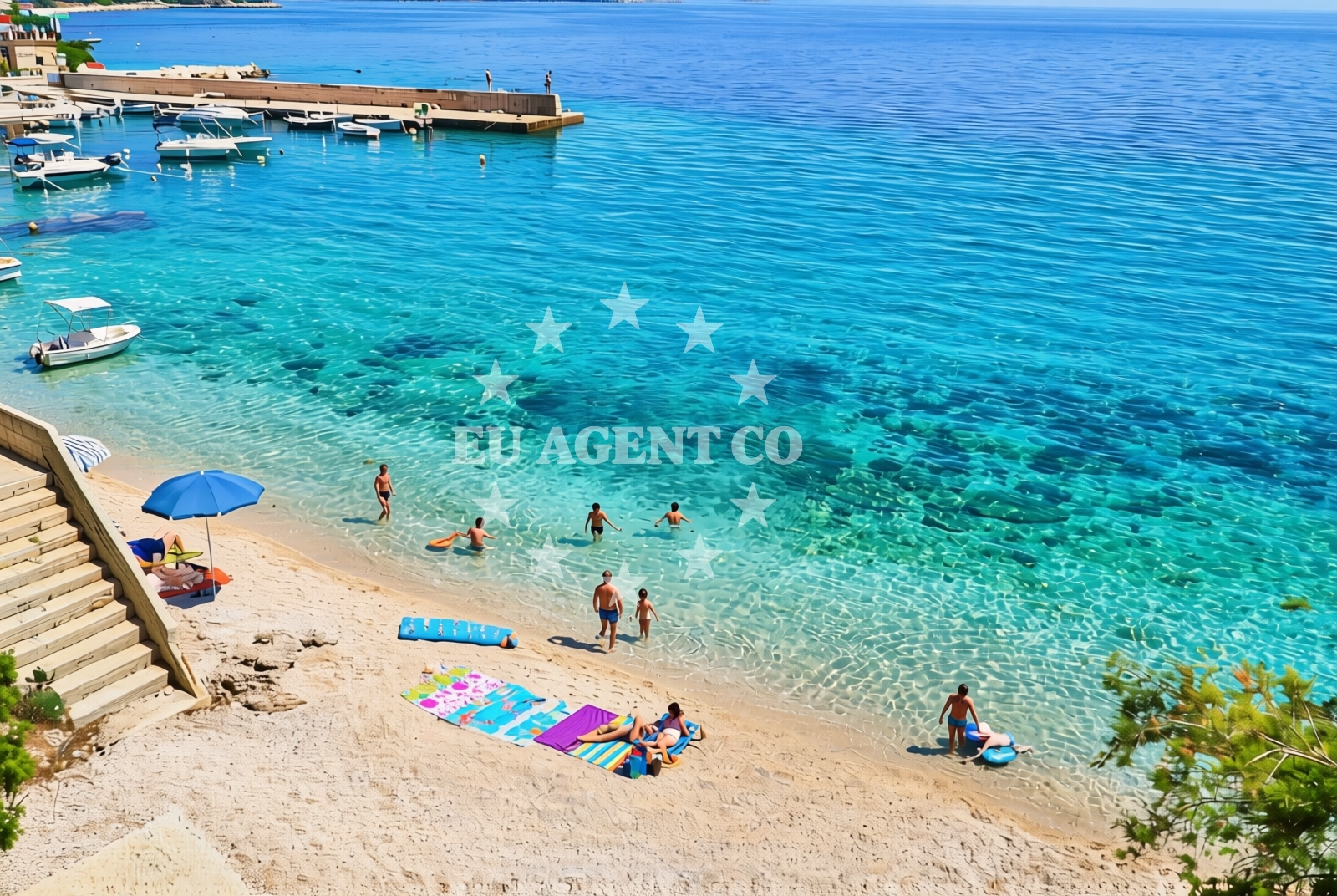
The beach surface consists primarily of gravel and concrete/stone slabs, making it more suited for walking than sunbathing. Its short length of 70 meters means it lacks the expansive appeal of larger beaches, but the natural shade from nearby elevation offers respite from direct sunlight. The absence of artificial structures or facilities means visitors should expect a raw, unembellished coastal experience.Swimming and shore
Swimming conditions at Pisak Beach are not specifically documented in available records. The gravelly shoreline may make entry into the water less comfortable for some visitors, though the exact water depth and wave activity remain unspecified. The beach's orientation and nearby geography suggest it is part of a broader coastal area that sailors and yacht charter guests might explore.Facilities and activities
No formal amenities such as showers, restrooms, or changing rooms are listed for Pisak Beach. The primary feature is the natural shade provided by the surrounding landscape. There are no structured activities or rental services associated with the beach, though its proximity to Pisak village may offer access to local services and cultural attractions.Access and location
Pisak Beach is situated in the village of Pisak, a small coastal settlement on the island of Brač, part of the Split-Dalmatia County in Croatia. The beach's coordinates (43.39935° N, 16.859558° E) place it within a region known for its rugged coastline and historic maritime routes. Visitors arriving by land would find the beach accessible via local roads connecting to the village, though specific parking details are not documented.What to expect
Pisak Beach is a functional, low-key shoreline with a gravel and stone surface that extends 70 meters along the coast. The beach is shaded by natural topography, which may provide relief during warmer months. Due to the lack of formal facilities, visitors should plan accordingly for basic needs. The beach serves as a minor access point for those exploring the broader Pisak area, which includes the village of Pisak and its connections to the island of Brač.Practical tips
Visitors should consider wearing sturdy footwear due to the gravel and stone slabs. The beach's short length means it is best suited for brief stops rather than extended stays. Those interested in nearby activities may want to explore Pisak village or the surrounding Brač island, which offers additional coastal and cultural experiences.Exploring the coast by yacht
For yacht charter guests, Pisak Beach lies within a sailing area that includes the islands of Brač and Hvar, part of Croatia's renowned Adriatic cruising routes. While the beach itself is not a formal anchorage, the nearby village of Pisak is within reach of marinas and harbors that cater to motor yachts and sailboats. Euro-Agent's yacht search platform can help identify suitable bases for exploring this region, which is known for its clear waters and historic coastal towns.Regional Context and Nearby Exploration
Pisak is part of Brač Island, a destination known for its limestone cliffs, traditional stone houses, and the famous Bol Beach. The village of Pisak itself is a quiet coastal settlement with connections to the island's agricultural and maritime heritage. Nearby, the town of Supetar on Brač offers more developed amenities, while the broader Split region provides access to cultural sites like Diocletian's Palace.Anchorages in the surrounding area
Anchorages in the surrounding area of Povlja on Brac.
- Anchorage — povlja — brac — 3.5 NM from beach
- Anchorage — povlja — brac — 3.7 NM from beach
- Anchorage — povlja — brac — 3.8 NM from beach
- Anchorage — povlja — brac — 4.0 NM from beach
- Anchorage — povlja — brac — 4.0 NM from beach
- Anchorage — povlja — brac — 4.2 NM from beach
- Anchorage — povlja — brac — 4.2 NM from beach
- Anchorage — povlja — brac — 4.3 NM from beach
Distances are straight-line geographic distances, not sailing routes.
Mooring buoys in the surrounding area
Mooring buoys in the surrounding areas of Povlja and Basko Polje.
- Restaurant Pipo jetty — povlja — brac — 4.6 NM from beach
- Konoba Rojen jetty — povlja — brac — 4.6 NM from beach
- Restaurant Pipo buoys — povlja — brac — 4.6 NM from beach
- Baško Polje — basko polje — baska voda — 5.3 NM from beach
- Quay — krvavica — 7.1 NM from beach
Distances are straight-line geographic distances, not sailing routes.
Marine fuel stations
Marine fuel stations in Sumartin, Makarska, Bol, and Vrboska.
- Fuel station — sumartin — brac — 6.7 NM from beach
- Ina — makarska — 9.3 NM from beach
- Fuel station — bol — brac — 12.2 NM from beach
- Ina — vrboska — hvar — 15.5 NM from beach
Distances are straight-line geographic distances, not sailing routes.
Harbours in the surrounding area
Harbours in Pisak, Mimice, and other nearby coastal locations.
- Pisak — 0.0 NM from beach
- Mimice — 2.3 NM from beach
- Stomarica — 2.6 NM from beach
- Brela — 3.7 NM from beach
- Pučišća harbour — pucisca — brac — 6.2 NM from beach
- Sumartin — brac — 6.9 NM from beach
Distances are straight-line geographic distances, not sailing routes.
Marinas in the surrounding area
Marinas in Baška Voda, Kravavica, and other nearby coastal areas.
- Marina Baška Voda — marina baska voda — 4.6 NM from beach
- Marina Ramova — krvavica — 7.0 NM from beach
- Marina Tučepi — marina tucepi — 11.9 NM from beach
- Marina Lav — podstrana — 15.1 NM from beach
- ACI Marina Vrboska — hvar — 15.5 NM from beach
Distances are straight-line geographic distances, not sailing routes.
Restaurants near the beach
Restaurants in Brela and Povlja, near the beach.
- Marko — brela — 3.7 NM from beach
- Konoba Feral — brela — 3.7 NM from beach
- Kala — povlja — brac — 4.1 NM from beach
- Stara Uljara — povlja — brac — 4.1 NM from beach
- Restoran King — baska voda — 4.5 NM from beach
- Hideaway Pipo — povlja — brac — 4.6 NM from beach
- Konoba Rojen — povlja — brac — 4.6 NM from beach
Distances are straight-line geographic distances, not sailing routes.
Navigation guides for the surrounding area
Navigation guides for areas including Pucisca and Omis.
- Mi mice — 2.1 NM from beach
- Uvala Luka — 4.3 NM from beach
- Pucisca — 5.9 NM from beach
- Su martin — 6.9 NM from beach
- Omis — 7.4 NM from beach
Distances are straight-line geographic distances, not sailing routes.
Yachts from nearby departure bases
Yachts departing from Baška Voda Port, near the beach.
Sailing yachts
- Elan Impression 40 (KARLETA) — Baška Voda Port — 4.5 NM from departure base to beach
- Oceanis 43 (BLACK SHEEP) — Baška Voda — 4.6 NM from departure base to beach
- Bavaria 46 Cruiser (Silvanac) — Baška Voda — 4.6 NM from departure base to beach
- Bavaria Cruiser 37 (Baby Panda) — Baška Voda — 4.6 NM from departure base to beach
- Oceanis 38.1 (Baby Dory) — Baška Voda — 4.6 NM from departure base to beach
- Oceanis 331 (Aloha) — Baška Voda — 4.6 NM from departure base to beach
- Bavaria 44 (Infinity) — Baška Voda — 4.6 NM from departure base to beach
Catamarans
- Lagoon 450 (LAMANTIN) — Baška Voda — 4.6 NM from departure base to beach
Motor yachts
- Canados 86 (Karisma) — Baška Voda — 4.6 NM from departure base to beach
Motor boats
- Pearl Sea 31 Hard Top (Aero) — Baška Voda Port — 4.5 NM from departure base to beach
Distances are straight-line geographic distances, not sailing routes.