Mulić Koromačina sjever, Pupnat (Korčula) Beach, Croatia
Mulić Koromačina sjever is a shoreline stretch on the island of Korčula, located in the municipality of Pupnat. This beach is characterized by its gravel and concrete/stone slabs, reflecting the natural coastal formations typical of the region. Situated on the southern Adriatic, the beach offers a quiet vantage point for those exploring the island’s rugged coastline.
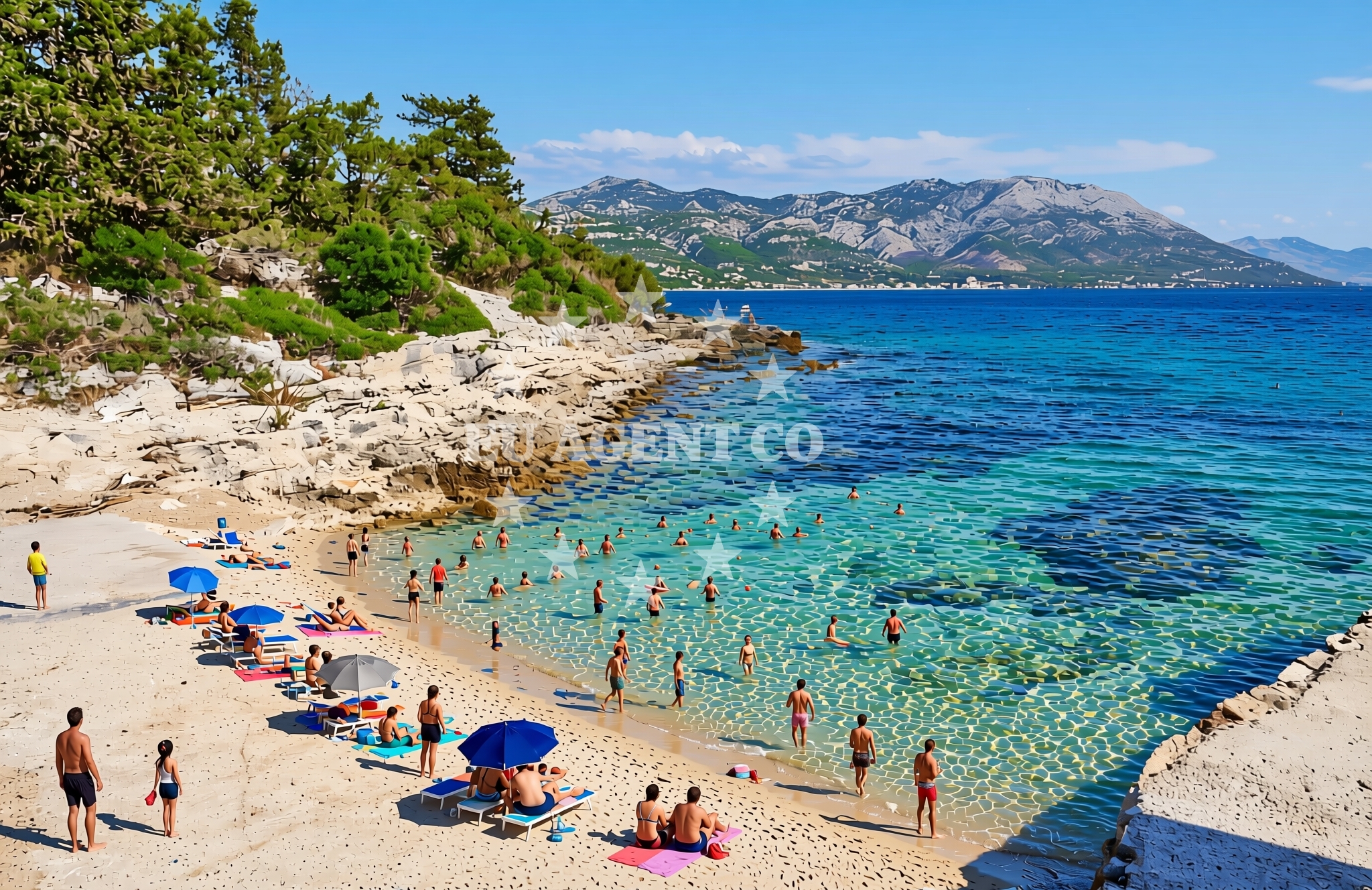
About this beach
Mulić Koromačina sjever, Pupnat (Korčula)
Beach: Mulić Koromačina sjever
Location: Pupnat (Korčula)
Characteristics and facilities
Gravel, concrete / stone slabs
Beach character
The beach’s surface consists of gravel and concrete/stone slabs, which are common along Korčula’s shores. These materials suggest a naturally eroded coastline, shaped by centuries of wave action. The lack of soft sand makes this a more utilitarian stretch of shore, suitable for those seeking a direct connection to the sea rather than a lounging environment. The beach’s orientation and elevation provide unobstructed views of the surrounding waters, which are part of the broader Adriatic Sea.
Swimming and shore
Swimming conditions at Mulić Koromačina sjever are influenced by the nearby rocky terrain. The immediate shoreline is composed of gravel and stone, which may make entry into the water less comfortable for some. Deeper water is likely beyond the beach’s edge, where the seabed transitions to more typical Adriatic conditions. The area’s exposure to open sea currents means swimmers should be mindful of local tides and weather patterns, particularly during stronger winds.
Facilities and activities
No structured facilities or amenities are explicitly listed for this beach. The absence of marked amenities suggests a minimalistic approach to coastal management, focusing on preserving the natural landscape. Activities associated with the area are likely limited to passive recreation, such as walking along the shore or observing marine life. The gravel surface may be more suited to walking or light hiking than to sunbathing or other leisure activities requiring soft sand.
Access and location
Access to Mulić Koromačina sjever is via the coastal road network of Pupnat, a settlement on Korčula. The beach’s proximity to the village suggests it may be reachable by foot or vehicle, though specific access routes are not detailed in available records. The beach’s location on the island’s western coast places it within reach of other notable sites on Korčula, including the medieval town of Korčula and the vineyards that define the island’s agricultural character.
What to expect
Visitors to Mulić Koromačina sjever should expect a beach experience defined by its gravel and stone-slab surface, which contrasts with the sandy beaches more commonly found in the region. The shoreline is likely to be relatively undeveloped, with no marked facilities or services. The beach’s position on the island’s coast offers opportunities to observe the Adriatic Sea’s natural contours, though it may not be ideal for those seeking extensive amenities. The area’s character is shaped by its integration with the surrounding landscape, which includes the rocky coastlines and vineyard-covered hills of Korčula.
Practical tips
Those visiting Mulić Koromačina sjever may wish to bring sturdy footwear for navigating the gravel and stone-slab surface. The beach’s lack of formal amenities means visitors should plan accordingly, bringing any necessary items for comfort. The area’s exposure to the open sea suggests checking local weather forecasts before visiting, particularly during periods of strong wind or wave activity.
Exploring the coast by yacht
For visitors interested in yacht charter, Mulić Koromačina sjever’s location on Korčula offers a strategic vantage point for exploring the Adriatic. The island is part of a broader sailing network that includes the Elaphite Islands, the Pelješac Peninsula, and the coastal towns of the Dalmatian coast. Nearby marinas, such as those in the town of Korčula or the port of Cavtat, provide access points for charter boats navigating the region. The beach’s proximity to open water makes it a potential stop for sailors seeking to anchor or explore the island’s coastline.
Historical and Cultural Context of Korčula
Korčula, the island where Mulić Koromačina sjever is located, is renowned for its medieval architecture, including the fortified town of Korčula and the Church of St. Mark. The island’s history as a Venetian stronghold has left a lasting imprint on its cultural landscape. Visitors to the area may also encounter vineyards, as Korčula is a significant producer of wine in the Adriatic region. The island’s blend of natural beauty and historical significance makes it a compelling destination for those exploring the Croatian coast.
Anchorages in the surrounding area
Anchorages in Korčula and Racisce offer nearby options for mooring within a few nautical miles of Mulić Koromačina sjever, Pupnat (Korčula) Beach.
- Anchorage — racisce — korcula — 0.8 NM from beach
- Anchorage — korcula — 1.7 NM from beach
- Anchorage — racisce — korcula — 1.8 NM from beach
- Anchorage — korcula — 1.9 NM from beach
- Anchorage — korcula — 2.3 NM from beach
- Anchorage — korcula — 2.5 NM from beach
- Anchorage — korcula — 2.9 NM from beach
- Anchorage — korcula — 2.9 NM from beach
Distances are straight-line geographic distances, not sailing routes.
Mooring buoys in the surrounding area
- Konoba Estravaganca buoys - Duba — konoba estravaganca buoys duba — loviste — 2.2 NM from beach
- Jetty — korcula — 2.2 NM from beach
- Jetty — loviste — 2.9 NM from beach
- Jetty — loviste — 3.4 NM from beach
- Fuel jetty — korcula — 3.9 NM from beach
Distances are straight-line geographic distances, not sailing routes.
Marine fuel stations
Fuel stations in Korčula and surrounding areas ensure refueling options within a short distance from the beach.
- Fuel station — korcula — 3.9 NM from beach
- Ina — vela luka — korcula — 15.2 NM from beach
- Ina — ubli — lastovo — 17.1 NM from beach
- Fuel station — ploce — 17.1 NM from beach
Distances are straight-line geographic distances, not sailing routes.
Harbours in the surrounding area
- Račišće — racisce — korcula — 1.8 NM from beach
- Viganj — 1.8 NM from beach
- Kučišće — kucisce — 2.4 NM from beach
- Korčula W harbour — korcula — 3.2 NM from beach
- Korčula E harbour — korcula — 3.4 NM from beach
- Lovište — loviste — 3.7 NM from beach
Distances are straight-line geographic distances, not sailing routes.
Marinas in the surrounding area
- ACI Marina Korčula — korcula — 3.4 NM from beach
- Marina Lumbarda — korcula — 5.6 NM from beach
- Marina Korkyra — vela luka — korcula — 15.4 NM from beach
- Marina Solitudo — lastovo — 16.2 NM from beach
- Marina Tučepi — marina tucepi — 17.6 NM from beach
Distances are straight-line geographic distances, not sailing routes.
Restaurants near the beach
Restaurants in Racisce and Loviste offer dining options near the beach.
- Stane — racisce — korcula — 0.9 NM from beach
- Vala — racisce — korcula — 1.9 NM from beach
- Konoba Estravaganca — loviste — 2.2 NM from beach
- Restaurant — korcula — 2.2 NM from beach
- Mimi's Bistro at Tara's Lodge — korcula — 2.2 NM from beach
- Mimi's Bistro at Tara's Lodge — korcula — 2.2 NM from beach
- Aterina — korcula — 3.3 NM from beach
Distances are straight-line geographic distances, not sailing routes.
Navigation guides for the surrounding area
Navigation guides for nearby areas like Uvala Kneza and Luka Racisce assist in planning routes around the beach.
- Uvala Kneza — 0.6 NM from beach
- Luka Racisce — 1.6 NM from beach
- Uvala Vrbovica — 2.0 NM from beach
- Uvala Banja — 2.7 NM from beach
- Otocic Badija — 4.8 NM from beach
Distances are straight-line geographic distances, not sailing routes.
Yachts from nearby departure bases
Sailing yachts
- Elan 40 Impression (Karleta) — Ploče City Port — 17.0 NM from departure base to beach
- More 55 (MRS. ROBINSON) — Ploče City Port — 17.0 NM from departure base to beach
- Sun Odyssey 349 (Visnjica) — Ploče City Port — 17.0 NM from departure base to beach
- Elan 514 Impression (Cesarica III) — Ploče City Port — 17.0 NM from departure base to beach
- Salona 44 (SAMOA) — Ploče City Port — 17.0 NM from departure base to beach
- Sun Odyssey 419 (Luka Ploce) — Ploče City Port — 17.0 NM from departure base to beach
- Sun Odyssey 349 (Porto Tolero) — Ploče City Port — 17.0 NM from departure base to beach
- Bavaria 40 Cruiser (LADY BUTTERFLY) — Tučepi Port — 17.6 NM from departure base to beach
Catamarans
- Lagoon 450 Fly (Alba Mouse) — Ploče City Port — 17.0 NM from departure base to beach
Motor yachts
- Princess V53 (Chablis) — Makarska Port — 19.4 NM from departure base to beach
Distances are straight-line geographic distances, not sailing routes.