Močila Zapad, Jesenice Beach, Croatia
About this beach
Močila zapad, Jesenice
Beach: Močila zapad
Location: Jesenice
Characteristics and facilities
Gravel, concrete / stone slabs
170 m
Natural shade
Beach character
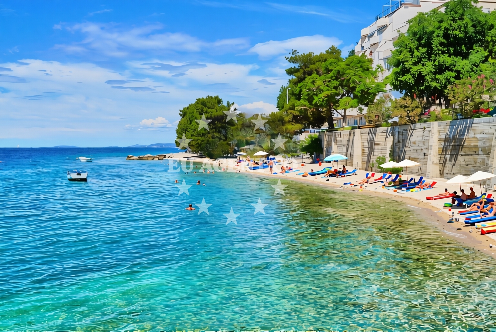
The beach consists of gravel and concrete/stone slabs, creating a firm and uneven surface. This texture is ideal for walking but may not be comfortable for prolonged sunbathing. Natural shade is available from nearby rock formations or vegetation, providing relief from the sun without artificial structures. The beach's length of 170 meters offers a modest stretch of coastline, suitable for short walks or casual exploration.Swimming and shore
The shoreline is composed of gravel and stone, which may make swimming less practical compared to sandy beaches. However, the area is well-suited for walking along the shore, offering views of the Adriatic Sea. The firm surface allows for easy movement along the beach, though visitors should be mindful of the terrain's unevenness.Facilities and activities
No specific facilities or activities are listed for Močila Zapad. The beach appears to be a natural, undeveloped shoreline with no amenities such as showers, restrooms, or parking. Its character is defined by its gravel and stone composition, making it more of a scenic spot than a recreational hub.Access and location
Jesenice is a small coastal settlement in Croatia, situated along the Adriatic coast. Močila Zapad lies within this area, accessible via local roads. The beach's proximity to Jesenice means it is part of a region known for its rugged coastline and historic maritime connections. Visitors arriving by yacht may find nearby anchorages or marinas in the broader Jesenice area, though specific details require further local verification.What to expect
Expect a beach defined by its gravel and stone slabs, with no artificial structures or amenities. The natural shade provided by the landscape offers a respite from the sun, though the terrain may not be ideal for those seeking a traditional beach experience. The 170-meter stretch allows for casual exploration, and the firm surface is suitable for walking. This beach is best appreciated for its raw, unspoiled character rather than for leisure activities typically associated with sandy shores.Practical tips
Wear sturdy footwear to navigate the gravel and stone slabs comfortably. The natural shade can be a benefit for sun protection, but visitors should still apply sunscreen. Since no facilities are listed, bring essentials like water, snacks, and a towel. The beach's proximity to Jesenice means it is part of a region with historical and cultural significance, worth exploring beyond the shoreline.Exploring the coast by yacht
The Adriatic coast near Jesenice is a popular sailing destination, known for its clear waters and scenic routes. Yacht charter guests exploring this area may find Močila Zapad as a point of interest along the coastline. While the beach itself is not a marina or anchorage, the broader region offers opportunities for sailing, with nearby ports and anchorages accessible to charter boats. The rugged shoreline and natural landscapes of the area contribute to the appeal of the Croatian coast for sailors.Regional Context and Nearby Settlements
Jesenice is part of the Split-Dalmatia County, a region renowned for its medieval history, coastal towns, and yacht-friendly waters. The area is dotted with smaller settlements, each offering unique cultural and natural attractions. While Močila Zapad is a quiet beach, the surrounding region is rich in maritime heritage, with historic ports and scenic sailing routes that attract charter guests.Anchorages in the surrounding area
Anchorages in the surrounding area include Split, Postira, and Supetar on Brac, located several nautical miles away.
- Anchorage — splitska — brac — 4.7 NM from beach
- Anchorage — postira — brac — 4.8 NM from beach
- Anchorage — supetar — brac — 5.5 NM from beach
- Anchorage — postira — brac — 5.6 NM from beach
- Konopjikova — postira — brac — 6.2 NM from beach
- Uvala Likva — sutivan — brac — 7.8 NM from beach
- Anchorage — split — 8.3 NM from beach
- Stiniva — brac — 8.9 NM from beach
Distances are straight-line geographic distances, not sailing routes.
Mooring buoys in the surrounding area
- Jetty — podstrana — 2.2 NM from beach
- Quay — postira — brac — 6.2 NM from beach
- Promenade — split — 8.5 NM from beach
- Nautical Anchorage Bobovišća — bobovisce — brac — 9.1 NM from beach
- Nautical Anchorage Bobovišća — bobovisce — brac — 9.2 NM from beach
Distances are straight-line geographic distances, not sailing routes.
Marine fuel stations
- Ina — split — 8.4 NM from beach
- Ina — split — 8.8 NM from beach
- Flash — kastel gomilica — 10.4 NM from beach
- Ina — milna brac — 10.8 NM from beach
Distances are straight-line geographic distances, not sailing routes.
Harbours in the surrounding area
Harbours in the immediate vicinity include Krilo in Jesenice and Dugi Rat, with the closest just over half a nautical mile away.
- Krilo — jesenice — 0.7 NM from beach
- Sumpetar — dugi rat — 0.7 NM from beach
- Dugi Rat — 1.4 NM from beach
- Omiš — omis — 3.6 NM from beach
- Clubharbour Podstrana — 4.4 NM from beach
- Stobreč — stobrec — 4.7 NM from beach
Distances are straight-line geographic distances, not sailing routes.
Marinas in the surrounding area
Marinas in the surrounding area are located in Podstrana and Split, with the nearest approximately four nautical miles from the beach.
- Marina Lav — podstrana — 3.9 NM from beach
- ACI Marina Split — 8.4 NM from beach
- ACI Marina Milna — milna brac — 10.6 NM from beach
- Marina Kaštela — marina kastela — kastel gomilica — 10.7 NM from beach
- Marina Milna Kanarija — milna brac — 10.7 NM from beach
Distances are straight-line geographic distances, not sailing routes.
Restaurants near the beach
Restaurants near the beach are found in Omis and Podstrana, within four to five nautical miles of Močila zapad.
- Konoba Milo — omis — 3.5 NM from beach
- Leonis — podstrana — 3.9 NM from beach
- Skampino — podstrana — 3.9 NM from beach
- Fabio — podstrana — 4.0 NM from beach
- Galija — postira — brac — 4.8 NM from beach
- Vala — splitska — brac — 4.9 NM from beach
- Mala Kate — supetar — brac — 5.0 NM from beach
Distances are straight-line geographic distances, not sailing routes.
Navigation guides for the surrounding area
Navigation guides for the surrounding area cover Dugi Rat, Omis, and Postira, located within five nautical miles.
- Dugi Rat (Uvala Orisac) — 1.6 NM from beach
- Kairos — 3.8 NM from beach
- Omis — 3.9 NM from beach
- Uvala Spliska (Splitska) — 4.8 NM from beach
- Postire — 4.9 NM from beach
Distances are straight-line geographic distances, not sailing routes.
Yachts from nearby departure bases
Yachts depart from nearby bases such as Sumpetar Port and Omiš City Port, with the closest options less than a nautical mile away.
Sailing yachts
- Jeanneau 53 (Win Win) — Podstrana Marina Lav — 3.9 NM from departure base to beach
Catamarans
- Lagoon 450 Fly (Falco) — Sumpetar Port — 0.6 NM from departure base to beach
Motor yachts
- Azimut 50 (Blue Marina) — Podstrana Marina Lav — 3.9 NM from departure base to beach
Gulets / Cruisers
- Gulet (Cataleya) — Sumpetar Port — 0.6 NM from departure base to beach
- Gulet (Altair) — Sumpetar Port — 0.6 NM from departure base to beach
- Gulet cruiser (AGORA) — Dugi Rat Luka Krilo — 0.7 NM from departure base to beach
- Gulet (PATRONICE) — Omiš City Port — 3.5 NM from departure base to beach
- Gulet (Trebenna) — Omiš City Port — 3.6 NM from departure base to beach
- Gulet (Primorac) — Omiš City Port — 3.6 NM from departure base to beach
Motor boats
- Cranchi 43 Sport Top (Chiara) — Podstrana Marina Lav — 3.9 NM from departure base to beach
Distances are straight-line geographic distances, not sailing routes.