Mali Rat Istok, Dugi Rat Beach, Croatia
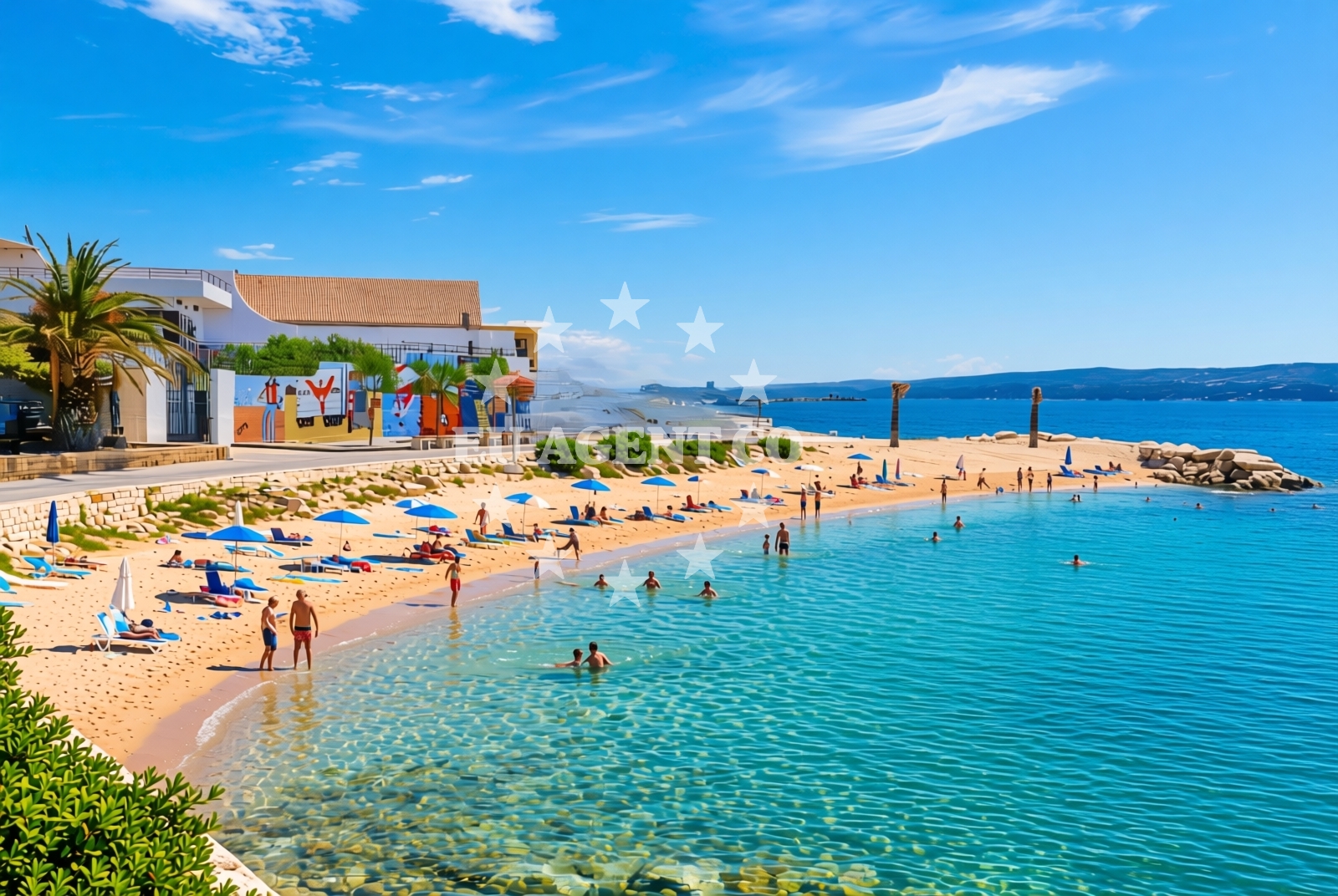
Mali Rat Istok, Dugi Rat Beach is a short but distinctive shoreline on the Adriatic coast of Croatia. Located at coordinates 43.44593° N, 16.629312° E, this beach is characterized by its gravel composition and proximity to local amenities. Its position on the Dugi Rat peninsula places it near the heart of a region known for its maritime heritage and scenic coastal landscapes.
About this beach
Mali rat istok, Dugi Rat
Beach: Mali rat istok
Location: Dugi Rat
Characteristics and facilities
Gravel
160 m
Restaurant / snack bar
Caffe bar / Drinks stand
Beach character
The beach stretches approximately 160 meters along the shore, featuring a gravelly substrate that gives it a unique texture compared to sandy beaches in the area. This type of shoreline is common along the rocky coastlines of the Adriatic, where natural formations create varied beach types. The gravel surface may require sturdy footwear for walking, but it offers a stable base for visitors exploring the shoreline.
Swimming and shore
Swimming conditions at Mali Rat Istok are influenced by the gravelly seabed, which can make wading more challenging than on sandy beaches. The beach's orientation and surrounding geography may create sheltered areas during calmer weather, though visitors should be mindful of tidal patterns and local currents. The nearby Dugi Rat peninsula provides a broader context of coastal topography, with rocky outcrops and natural formations visible from the shoreline.
Facilities and activities
Basic amenities include a restaurant/snack bar and a caffe bar/drinks stand, offering refreshments for visitors. These facilities suggest the beach serves as a casual destination for day-trippers and locals seeking light meals or beverages. While no structured activities are listed in the beach catalog, the surrounding area likely supports recreational pursuits such as walking along the peninsula or exploring nearby coastal trails.
Access and location
The beach is situated on the eastern side of the Dugi Rat peninsula, a prominent coastal feature in the region. Its location near the village of Dugi Rat places it within reach of local infrastructure, including roads and maritime access points. The area is part of a larger coastal network that includes the town of Supetar on Brac Island, a well-known hub for yachting and tourism in the Adriatic.
What to expect
Visitors to Mali Rat Istok should expect a gravelly shoreline with limited sand, suitable for those comfortable with non-sandy beach environments. The beach's proximity to dining options makes it a convenient spot for short stays, though its 160-meter length means it is more suited to casual visits than extended sunbathing sessions. The surrounding Dugi Rat peninsula offers opportunities for coastal walks and panoramic views of the Adriatic Sea.
Practical tips
Due to the gravel substrate, visitors may want to wear sturdy shoes for walking along the shoreline. The beach's proximity to the village of Dugi Rat means local amenities are accessible, though parking and transportation options should be confirmed in advance. The area's maritime orientation makes it a logical starting point for exploring nearby sailing routes.
Exploring the coast by yacht
The Dugi Rat peninsula, where this beach is located, is a recognized sailing destination in the Adriatic. Its position near the town of Supetar on Brac Island places it within a region popular with charter yachts and sailing enthusiasts. While the beach itself is not a marina or anchorage, the surrounding coast offers access to navigable waters and established sailing routes along the Croatian coast.
Regional Context and Coastal Features
The Dugi Rat peninsula is part of the broader Brac Island coastline, known for its dramatic cliffs and clear waters. The area's geography includes a mix of rocky shores, sandy coves, and sheltered bays, creating diverse conditions for maritime activities. The nearby town of Supetar serves as a central point for yachting, with marinas and boat rental services available for those exploring the region by sea.
Anchorages in the surrounding area
- Anchorage — postira — brac — 4.2 NM from beach
- Anchorage — splitska — brac — 4.2 NM from beach
- Anchorage — postira — brac — 4.8 NM from beach
- Konopjikova — postira — brac — 5.3 NM from beach
- Anchorage — supetar — brac — 5.5 NM from beach
- Uvala Likva — sutivan — brac — 8.1 NM from beach
- Stiniva — brac — 9.1 NM from beach
- Stipanska — brac — 9.2 NM from beach
Distances are straight-line geographic distances, not sailing routes.
Mooring buoys in the surrounding area
- Jetty — podstrana — 3.2 NM from beach
- Quay — postira — brac — 5.3 NM from beach
- Nautical Anchorage Bobovišća — bobovisce — brac — 9.2 NM from beach
- Nautical Anchorage Bobovišća — bobovisce — brac — 9.3 NM from beach
- Promenade — split — 9.4 NM from beach
Distances are straight-line geographic distances, not sailing routes.
Marine fuel stations
- Ina — split — 9.3 NM from beach
- Ina — split — 9.7 NM from beach
- Ina — milna brac — 10.8 NM from beach
- Fuel station — bol — brac — 11.2 NM from beach
Distances are straight-line geographic distances, not sailing routes.
Harbours in the surrounding area
Harbors near the beach include Sumpetar Harbor and Dugi Rat, located just a short distance away.
- Sumpetar — dugi rat — 0.3 NM from beach
- Dugi Rat — 0.5 NM from beach
- Krilo — jesenice — 1.6 NM from beach
- Omiš — omis — 2.8 NM from beach
- Postira — brac — 4.1 NM from beach
- Splitska — brac — 4.2 NM from beach
Distances are straight-line geographic distances, not sailing routes.
Marinas in the surrounding area
- Marina Lav — podstrana — 4.8 NM from beach
- ACI Marina Split — 9.3 NM from beach
- ACI Marina Milna — milna brac — 10.7 NM from beach
- Marina Milna Kanarija — milna brac — 10.8 NM from beach
- Marina Vlaška — milna brac — 10.8 NM from beach
Distances are straight-line geographic distances, not sailing routes.
Restaurants near the beach
Restaurants near the beach include Konoba Milo in Omis and Galija in Postira, providing dining options for visitors.
- Konoba Milo — omis — 2.8 NM from beach
- Galija — postira — brac — 4.1 NM from beach
- Vala — splitska — brac — 4.3 NM from beach
- Leonis — podstrana — 4.8 NM from beach
- Mala Kate — supetar — brac — 4.9 NM from beach
- Skampino — podstrana — 4.9 NM from beach
- Restaurant — postira — brac — 4.9 NM from beach
Distances are straight-line geographic distances, not sailing routes.
Navigation guides for the surrounding area
Navigation guides for the surrounding area include Dugi Rat and Omis, helping with route planning.
- Dugi Rat (Uvala Orisac) — 0.7 NM from beach
- Omis — 3.1 NM from beach
- Postire — 4.2 NM from beach
- Uvala Spliska (Splitska) — 4.3 NM from beach
- Kairos — 4.8 NM from beach
Distances are straight-line geographic distances, not sailing routes.
Yachts from nearby departure bases
Yachts departing from Sumpetar Port and Omiš City Port offer charter options for exploring the area.
Sailing yachts
- Jeanneau 53 (Win Win) — Podstrana Marina Lav — 4.8 NM from departure base to beach
Catamarans
- Lagoon 450 Fly (Falco) — Sumpetar Port — 0.3 NM from departure base to beach
Motor yachts
- Ferretti 500 (Roch Antonio) — Podstrana Marina Lav — 4.8 NM from departure base to beach
Gulets / Cruisers
- Gulet (Altair) — Sumpetar Port — 0.3 NM from departure base to beach
- Gulet (Cataleya) — Sumpetar Port — 0.3 NM from departure base to beach
- Gulet cruiser (AGORA) — Dugi Rat Luka Krilo — 1.6 NM from departure base to beach
- Gulet (PATRONICE) — Omiš City Port — 2.7 NM from departure base to beach
- Gulet (Primorac) — Omiš City Port — 2.8 NM from departure base to beach
- Gulet (Trebenna) — Omiš City Port — 2.8 NM from departure base to beach
Motor boats
- Cranchi M44 HT (Brown Sugar) — Podstrana Marina Lav — 4.8 NM from departure base to beach
Distances are straight-line geographic distances, not sailing routes.