Lučica, Mimice Beach – A Gravel Shore in the Croatian Coast, Croatia
2 photos
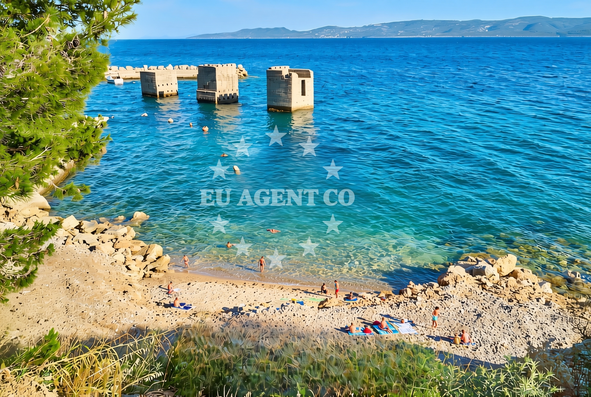
About this beach
Lučica, Mimice
Beach: Lučica
Location: Mimice
Characteristics and facilities
Gravel
50 m
Beach character
The beach's defining feature is its gravel substrate, which covers the entire 50-meter length. This texture creates a firm, uneven surface that differs from the soft sands typical of many Adriatic shores. The gravel composition suggests the beach may be less suited for sunbathing but could offer a stable base for activities like walking or photography. No structured amenities or facilities are listed in the beach's authoritative records, indicating a naturally preserved state.Swimming and shore
The gravelly nature of the beach may limit traditional swimming activities, as the shore's texture could make wading uncomfortable. However, the beach's short length and proximity to the water's edge suggest it could serve as a vantage point for observing maritime activity. The Adriatic Sea's generally calm conditions in this region might make it a viable spot for brief dips, though the gravel substrate would require careful footing.Facilities and activities
No official facilities are documented for Lučica, Mimice Beach. The absence of structured amenities implies a focus on natural accessibility. Potential activities might include coastal walking, photography, or birdwatching, given the beach's unspoiled character. However, the gravel surface would necessitate appropriate footwear for comfort.Access and location
The beach is situated in Lučica, a coastal village on Croatia's Adriatic coast. Its coordinates (43.405181° N, 16.796713° E) place it within a region known for its rugged coastline and historic maritime connections. Lučica itself is part of a broader network of Adriatic settlements that have long relied on the sea for trade and sustenance. The beach's proximity to the village suggests it may be accessible via local roads, though specific access routes are not detailed in the beach's records.What to expect
Visitors should expect a naturally preserved gravel shoreline that is 50 meters long. The beach lacks structured amenities, emphasizing its raw coastal character. The firm, uneven surface may require sturdy footwear for comfort. The Adriatic Sea's presence offers opportunities for maritime observation, though swimming may be limited by the gravel substrate. The beach's location in Lučica places it within a region historically tied to maritime activity, providing context for its unmodified state.Practical tips
Given the gravel surface, visitors are advised to wear appropriate footwear for comfort. The beach's short length means it may be best suited for brief visits. As no facilities are documented, bringing personal items like water or snacks is recommended.Exploring the coast by yacht
Lučica, Mimice Beach lies within a sailing region of the Adriatic Sea, a popular route for yacht charters. While the beach itself is not marked as an anchorage or marina, its location near Lučica places it within proximity to coastal routes explored by sailors. Yacht charter guests navigating the Adriatic may pass through this area, though specific docking or anchoring options would require consultation with Euro-Agent's yacht search tools for real-time availability.Regional Context
Lučica is part of a coastal corridor that includes historic ports and maritime routes. The Adriatic Sea's waters here are known for their clarity and gentle currents, making it a favorable area for sailing. Nearby settlements may offer additional amenities for visitors, though specific details would require local exploration.Anchorages in the surrounding area
- Tri luke — povlja — brac — 3.9 NM from beach
- Anchorage — povlja — brac — 4.2 NM from beach
- Anchorage — povlja — brac — 4.2 NM from beach
- Anchorage — povlja — brac — 4.2 NM from beach
- Anchorage — povlja — brac — 4.3 NM from beach
- Anchorage — povlja — brac — 4.3 NM from beach
- Anchorage — povlja — brac — 4.6 NM from beach
- Anchorage — povlja — brac — 4.6 NM from beach
Distances are straight-line geographic distances, not sailing routes.
Mooring buoys in the surrounding area
- Restaurant Pipo buoys — povlja — brac — 3.9 NM from beach
- Restaurant Pipo jetty — povlja — brac — 4.0 NM from beach
- Konoba Rojen jetty — povlja — brac — 4.0 NM from beach
- Quay — postira — brac — 5.5 NM from beach
- Baško Polje — basko polje — baska voda — 7.8 NM from beach
Distances are straight-line geographic distances, not sailing routes.
Marine fuel stations
- Fuel station — sumartin — brac — 7.6 NM from beach
- Fuel station — bol — brac — 10.7 NM from beach
- Ina — makarska — 11.6 NM from beach
- Ina — vrboska — hvar — 14.6 NM from beach
Distances are straight-line geographic distances, not sailing routes.
Harbours in the surrounding area
- Mimice — 0.5 NM from beach
- Pisak — 2.8 NM from beach
- Pučišća harbour — pucisca — brac — 4.4 NM from beach
- Omiš — omis — 5.0 NM from beach
- Stomarica — 5.3 NM from beach
- Brela — 6.4 NM from beach
Distances are straight-line geographic distances, not sailing routes.
Marinas in the surrounding area
- Marina Baška Voda — marina baska voda — 7.1 NM from beach
- Marina Ramova — krvavica — 9.5 NM from beach
- Marina Lav — podstrana — 12.4 NM from beach
- Marina Tučepi — marina tucepi — 14.2 NM from beach
- ACI Marina Vrboska — hvar — 14.6 NM from beach
Distances are straight-line geographic distances, not sailing routes.
Restaurants near the beach
- Hideaway Pipo — povlja — brac — 4.0 NM from beach
- Konoba Rojen — povlja — brac — 4.0 NM from beach
- Pizzeria Marin — pucisca — brac — 4.4 NM from beach
- Lado — pucisca — brac — 4.5 NM from beach
- Kala — povlja — brac — 4.6 NM from beach
- Stara Uljara — povlja — brac — 4.7 NM from beach
Distances are straight-line geographic distances, not sailing routes.
Navigation guides for the surrounding area
- Mi mice — 0.7 NM from beach
- Uvala Luka — 3.9 NM from beach
- Pucisca — 4.1 NM from beach
- Omis — 4.7 NM from beach
- Dugi Rat (Uvala Orisac) — 7.0 NM from beach
Distances are straight-line geographic distances, not sailing routes.
Yachts from nearby departure bases
Sailing yachts
- Elan Impression 40 (KARLETA) — Baška Voda Port — 7.1 NM from departure base to beach
- Bavaria 44 (Infinity) — Baška Voda — 7.2 NM from departure base to beach
- Sun Odyssey 39i (Mia Pia) — Baška Voda — 7.2 NM from departure base to beach
- Elan 45 Impression (" MONACO ") — Baška Voda — 7.2 NM from departure base to beach
Catamarans
- Lagoon 450 (LAMANTIN) — Baška Voda — 7.2 NM from departure base to beach
Motor yachts
- Canados 86 (Karisma) — Baška Voda — 7.2 NM from departure base to beach
Gulets / Cruisers
- Gulet (Trebenna) — Omiš City Port — 5.0 NM from departure base to beach
- Gulet (Primorac) — Omiš City Port — 5.0 NM from departure base to beach
- Gulet (PATRONICE) — Omiš City Port — 5.1 NM from departure base to beach
Motor boats
- Pearl Sea 31 Hard Top (Aero) — Baška Voda Port — 7.1 NM from departure base to beach
Distances are straight-line geographic distances, not sailing routes.
Nearby beaches
Rašćine, Lokva Rogoznica Beach
Rašćine
0.1 km
Zicova Riva beach II
Kralja Tomislava 24, Mimice
0.3 km
Planike zapad, Mimice Beach
Planike zapad
0.4 km
Planike istok, Mimice Beach
Planike istok
0.4 km
Rape istok, Lokva Rogoznica Beach
Rape istok
0.6 km
Zicova Riva beach
Ivašnjak I, Lokva Rogoznica
0.8 km
Mimice beach
9 Prilaz moru, Mimice
0.8 km
Bilići, Lokva Rogoznica Beach
Bilići
1.0 km