Kabli Jug, Putniković Beach, Croatia
About this beach
Kabli jug, Putniković
Beach: Kabli jug
Location: Putniković
Characteristics and facilities
Gravel, concrete / stone slabs
15 m
shower
Beach character
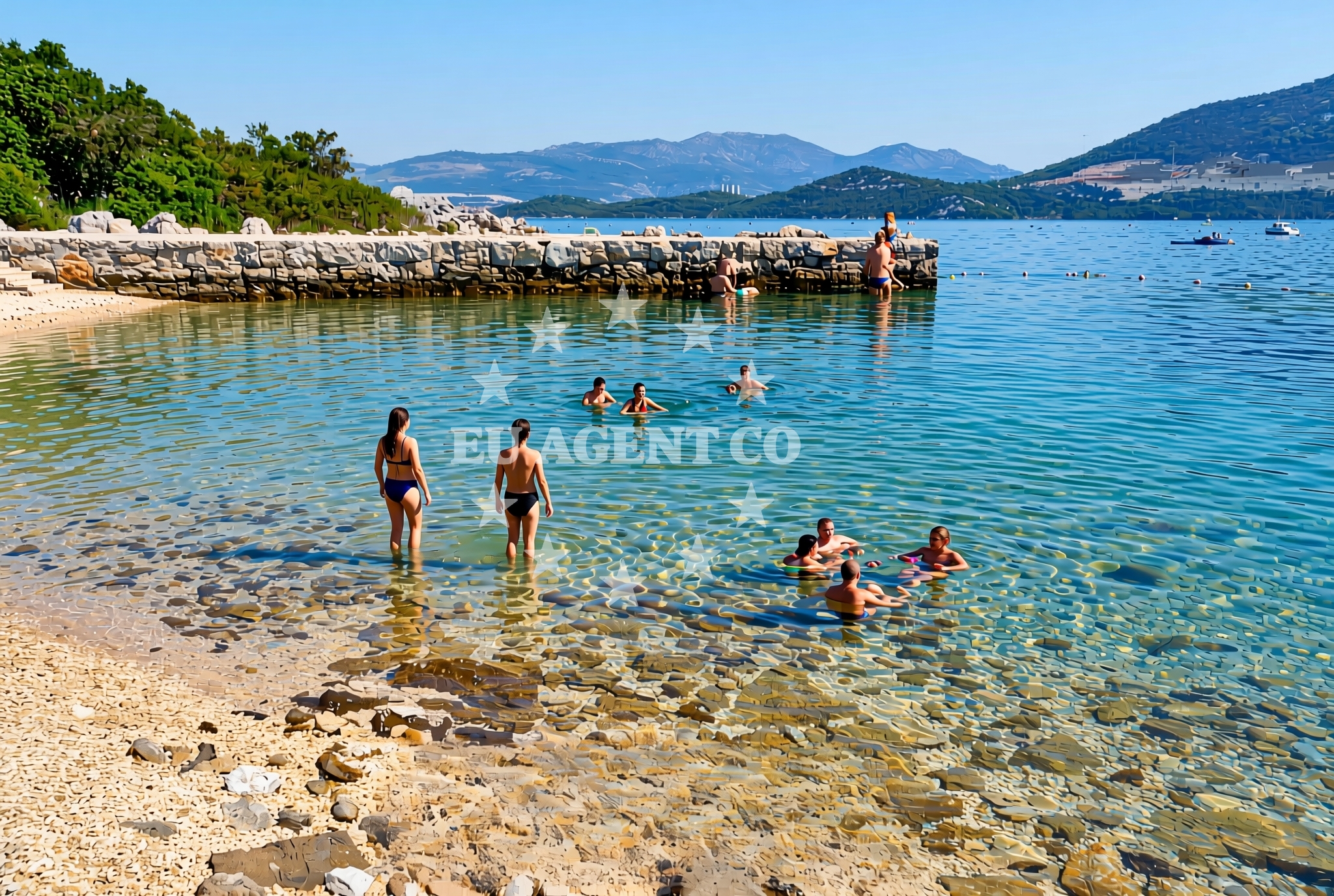
The beach's surface is characterized by gravel and concrete slabs, suggesting a utilitarian design focused on accessibility rather than leisurely relaxation. The presence of a 15-meter shower facility indicates an emphasis on hygiene and practicality for visitors. This configuration may appeal to those prioritizing ease of access over traditional sandy shorelines, though it offers limited scope for activities typically associated with more conventional beaches.Swimming and shore
Details regarding swimming conditions or shoreline depth are not specified in the available documentation. The beach's gravel and concrete composition suggests it may not be ideal for swimming, though this remains unconfirmed. Visitors are advised to exercise caution and consider local conditions before entering the water.Facilities and activities
The sole explicitly mentioned facility is a 15-meter shower, which appears to be the primary infrastructure available at this location. No additional amenities, recreational activities, or services are documented. The absence of structured activity listings implies that this beach may not be centered around tourism or leisure pursuits, instead serving more functional purposes.Access and location
Located in Kabli Jug, Putniković, this beach is positioned along Croatia's Adriatic coastline. While specific access routes or nearby settlements are not detailed in the catalog, its coordinates (42.908219°N, 17.514985°E) place it within a region historically connected to maritime travel and coastal exploration. The surrounding area likely includes the broader infrastructure typical of Croatian coastal towns, though precise details remain unspecified.What to expect
This beach presents a utilitarian profile with a gravel and concrete shoreline and a 15-meter shower facility. It is not described as a recreational destination but rather as a location with basic infrastructure. Visitors should anticipate a straightforward, no-frills experience, with no documented amenities beyond the shower. The beach's character aligns with practical coastal access points rather than tourist-oriented leisure spots.Practical tips
Given the lack of detailed documentation, visitors are encouraged to verify the operational status of the 15-meter shower facility before arrival. The gravel and concrete surface may require appropriate footwear for comfort. As with any coastal visit, awareness of local conditions and regulations is advisable.Exploring the coast by yacht
For yacht charter travelers, Kabli Jug's position along the Adriatic coast places it within a region rich in maritime opportunities. While the beach itself is not described as an anchorage or marina, the surrounding coastline likely includes the ports, harbors, and sailing routes characteristic of Croatia's Adriatic shores. Yacht charter guests exploring this area may find additional coastal destinations and facilities through Euro-Agent's yacht search platform.Regional Context
The Adriatic coast near Kabli Jug is part of Croatia's extensive maritime network, featuring historic ports and modern yacht infrastructure. While specific details about nearby settlements are not provided in the catalog, the region generally supports coastal tourism, sailing, and maritime activities. Euro-Agent's yacht search tool can help locate available charters in this area.Anchorages in the surrounding area
Anchorages in the surrounding area include Brijesta, Duboka, Klek, and Zuljana, located within a few nautical miles of Kabli jug, Putniković Beach.
- Anchorage — brijesta — 0.6 NM from beach
- Anchorage — duboka — 2.5 NM from beach
- Anchorage — klek — 2.7 NM from beach
- Anchorage — zuljana — 2.9 NM from beach
- Anchorage — klek — 3.0 NM from beach
- Anchorage — zuljana — 3.2 NM from beach
- Anchorage — duba — 4.3 NM from beach
- Anchorage — trstenik — 4.4 NM from beach
Distances are straight-line geographic distances, not sailing routes.
Mooring buoys in the surrounding area
Mooring buoys in the surrounding area include Brijesta and Jetty Blace, situated nearby in south-dalmatia.
- Brijesta — 0.7 NM from beach
- Jetty — blace — 5.8 NM from beach
- Buoy — mljet — 8.8 NM from beach
- Restaurant Dalmatinac quay — mljet — 8.8 NM from beach
- Quay — prapratno — 9.0 NM from beach
Distances are straight-line geographic distances, not sailing routes.
Marine fuel stations
- Fuel station — ploce — 9.3 NM from beach
- Fuel station — sobra — mljet — 11.2 NM from beach
- Fuel station — korcula — 16.4 NM from beach
- Ina — dubrovnik — 29.0 NM from beach
Distances are straight-line geographic distances, not sailing routes.
Harbours in the surrounding area
Harbours in the surrounding area include Zuljana, Drače, and Sresar, located within a short distance of Kabli jug, Putniković Beach.
- Žuljana — zuljana — 2.9 NM from beach
- Drače — drace — 3.2 NM from beach
- Sresar — rat — 3.9 NM from beach
- Trstenik — 5.1 NM from beach
- Opuzen — 7.0 NM from beach
- Kozarica — mljet — 8.2 NM from beach
Distances are straight-line geographic distances, not sailing routes.
Marinas in the surrounding area
- Marina Lumbarda — korcula — 15.1 NM from beach
- ACI Marina Korčula — korcula — 16.9 NM from beach
- ACI Marina Slano — 18.1 NM from beach
- Marina Frapa Dubrovnik — 29.1 NM from beach
- Marina Tučepi — marina tucepi — 29.3 NM from beach
Distances are straight-line geographic distances, not sailing routes.
Restaurants near the beach
Restaurants near the beach include Bistro Ankora and Konoba Riva, located in Zuljana.
- Bistro Ankora — zuljana — 2.9 NM from beach
- Konoba Riva — zuljana — 2.9 NM from beach
Distances are straight-line geographic distances, not sailing routes.
Navigation guides for the surrounding area
Navigation guides for the surrounding area include Uvala Kljemtine and Uvala Lopata, providing key reference points nearby.
- Uvala Kljemtine — 2.7 NM from beach
- Uvala Lopata — 2.9 NM from beach
- Uvala Klek — 3.0 NM from beach
- Trstenik — 4.9 NM from beach
- Bl ace — 5.7 NM from beach
Distances are straight-line geographic distances, not sailing routes.
Yachts from nearby departure bases
Yachts from nearby departure bases include those based in Ploče City Port and Slano ACI Marina, offering options for sailing in the region.
Sailing yachts
- Elan 40 Impression (Karleta) — Ploče City Port — 9.3 NM from departure base to beach
- Elan 514 Impression (Cesarica III) — Ploče City Port — 9.3 NM from departure base to beach
- Sun Odyssey 419 (Luka Ploce) — Ploče City Port — 9.3 NM from departure base to beach
- Sun Odyssey 349 (Visnjica) — Ploče City Port — 9.3 NM from departure base to beach
- More 55 (MRS. ROBINSON) — Ploče City Port — 9.3 NM from departure base to beach
- Salona 44 (SAMOA) — Ploče City Port — 9.3 NM from departure base to beach
- Sun Odyssey 349 (Porto Tolero) — Ploče City Port — 9.3 NM from departure base to beach
- Elan 50 Impression (Timeless) — Slano ACI Marina — 18.1 NM from departure base to beach
Catamarans
- Lagoon 450 Fly (Alba Mouse) — Ploče City Port — 9.3 NM from departure base to beach
- Lagoon 450 Flybridge (ANJA I) — Slano ACI Marina — 18.1 NM from departure base to beach
Distances are straight-line geographic distances, not sailing routes.