Kabal, Gradac Beach: A Natural Shoreline in Croatia's Coastal Landscape
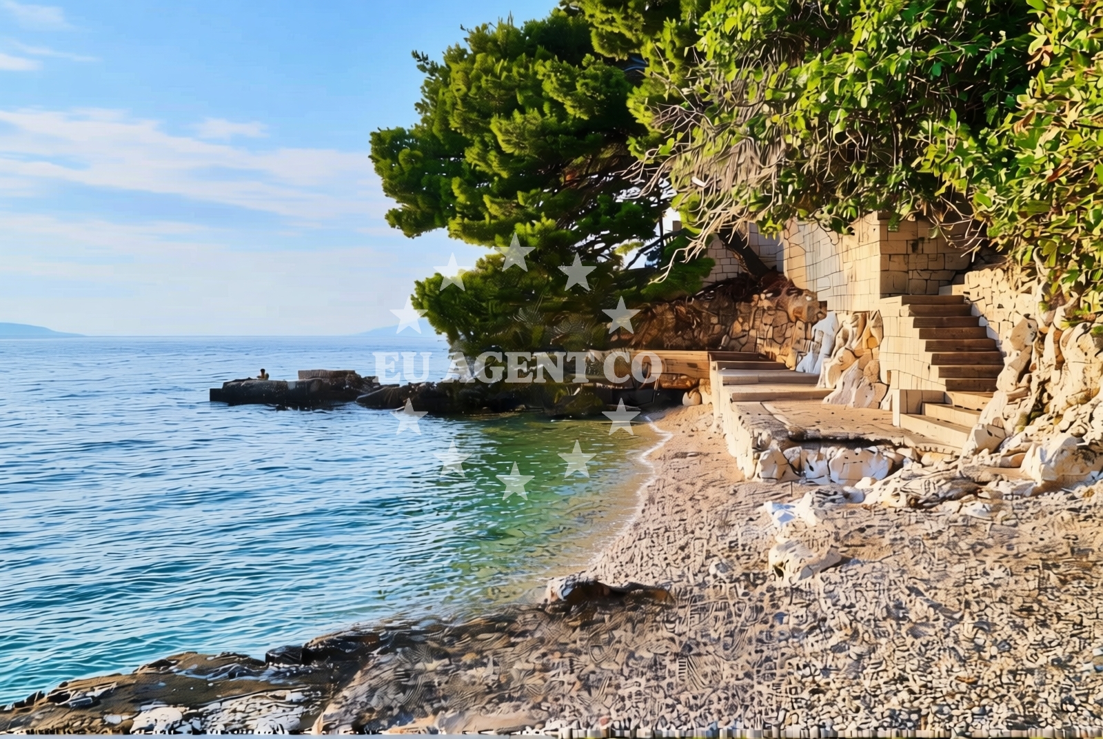
Kabal, Gradac Beach lies along Croatia's Adriatic coast, characterized by its gravel, concrete slabs, and rocky terrain. Stretching 200 meters, the beach offers a rugged shoreline with natural shade from surrounding landforms. Located in the village of Kabal, it sits within a region known for its dramatic coastal cliffs and historic settlements.
About this beach
Kabal, Gradac
Beach: Kabal
Location: Gradac
Characteristics and facilities
Gravel, concrete / stone slabs, rocks
200 m
Natural shade
Beach character
The beach's surface is composed of gravel, concrete slabs, and exposed rock formations, creating a distinct contrast to sandy shorelines. Its 200-meter length is flanked by natural shade provided by nearby terrain, offering limited respite from direct sunlight. The absence of structured amenities means visitors should prepare for a more rugged experience, typical of Croatia's less-developed coastal areas.
Swimming and shore
Swimming conditions are influenced by the beach's rocky and gravelly nature, which may create uneven entry points into the water. The shore's composition suggests it is better suited for those seeking a more adventurous coastal experience rather than a family-friendly sandy beach. Wave action and water clarity are not explicitly documented but align with general patterns of the Dalmatian coast.
Facilities and activities
No structured facilities or recreational activities are listed for Kabal, Gradac Beach. The shoreline's natural character suggests minimal infrastructure, with no mention of showers, restrooms, or docking options. Visitors should assume the beach is unmonitored and lacks commercial amenities.
Access and location
Access to the beach is via the village of Kabal, a small settlement on Croatia's southern coast. The area is part of the broader Dalmatian region, known for its medieval towns, limestone cliffs, and maritime history. Proximity to larger ports like Split and Dubrovnik makes it a potential stop for those exploring the Adriatic by boat or road.
What to expect
Visitors should expect a rugged shoreline with gravel, concrete, and rock surfaces. The beach's 200-meter length provides limited space for relaxation, with natural shade from adjacent terrain. No facilities are available, so self-sufficiency is required. The area's appeal lies in its raw coastal character, offering a glimpse into Croatia's less-touristed shores.
Practical tips
Wear sturdy footwear to navigate the gravel and rocky terrain. Sun protection is essential, as natural shade is limited. Arrive early to secure a spot, as the beach's proximity to Kabal may attract occasional visitors seeking solitude.
Exploring the coast by yacht
For sailors and yacht charter guests, Kabal's location offers a gateway to Croatia's southern coast. The nearby Dalmatian islands and historic ports make it a strategic point for exploring the Adriatic. Yacht charterers may consider anchorages in the surrounding area, though specific marinas are not detailed here. Use Euro-Agent's beaches map to identify nearby sailing routes.
Regional Context and Coastal Features
The Kabal area is part of the Šibenik-Knin County, a region marked by karst landscapes and a rich maritime heritage. The coastline here is characterized by steep cliffs and secluded coves, with Kabal, Gradac Beach representing one of the more accessible shorelines. The village of Kabal itself is a quiet coastal settlement, with few modern developments preserving its traditional character.
Anchorages in the surrounding area
Anchorages in the surrounding area include Ploče, Drvenik, and Trpanj.
- Anchorage — ploce — 2.3 NM from beach
- Anchorage — drvenik — 5.7 NM from beach
- Anchorage — trpanj — 6.2 NM from beach
- Anchorage — crikvice — 7.4 NM from beach
- Anchorage — sucuraj — hvar — 7.5 NM from beach
- Anchorage — duba peljeska — 8.0 NM from beach
- Anchorage — blace — 8.0 NM from beach
- Anchorage — sucuraj — hvar — 8.3 NM from beach
Distances are straight-line geographic distances, not sailing routes.
Mooring buoys in the surrounding area
Mooring buoys in the surrounding area include Brist, Drvenik Ferry Dock, and Jetty in Sucuraj.
- Brist — 1.9 NM from beach
- Drvenik - Ferry dock — drvenik ferry dock — 5.7 NM from beach
- Jetty — sucuraj — hvar — 7.3 NM from beach
- Jetty — blace — 8.0 NM from beach
- Restaurant Moro buoys — stupe — 10.7 NM from beach
Distances are straight-line geographic distances, not sailing routes.
Marine fuel stations
Marine fuel stations in the area include Ploče, Korčula, and Makarska.
- Fuel station — ploce — 4.6 NM from beach
- Fuel station — korcula — 12.3 NM from beach
- Ina — makarska — 18.9 NM from beach
- Fuel station — sumartin — brac — 24.2 NM from beach
Distances are straight-line geographic distances, not sailing routes.
Harbours in the surrounding area
Harbours in the surrounding area include Gradac, Ploče, and Drvenik.
- Gradac — 0.6 NM from beach
- Zaostrog — 4.1 NM from beach
- Ploče — ploce — 4.5 NM from beach
- Drvenik — 5.8 NM from beach
- Trpanj — 6.3 NM from beach
- Sućuraj — sucuraj — hvar — 7.3 NM from beach
Distances are straight-line geographic distances, not sailing routes.
Marinas in the surrounding area
Marinas in the surrounding area include Korčula, Lumbarda, and Tučepi.
- ACI Marina Korčula — korcula — 12.5 NM from beach
- Marina Lumbarda — korcula — 12.9 NM from beach
- Marina Tučepi — marina tucepi — 16.3 NM from beach
- Marina Ramova — krvavica — 21.1 NM from beach
- Marina Baška Voda — marina baska voda — 23.6 NM from beach
Distances are straight-line geographic distances, not sailing routes.
Navigation guides for the surrounding area
Navigation guides for the surrounding area include Gradac, Kardeljeva, and Uvala Drvenik.
- Gradac — 0.5 NM from beach
- Place (Kardeljeva) — 4.7 NM from beach
- Uvala Drvenik (Donja Vala) — 5.4 NM from beach
- Trpanj — 6.2 NM from beach
- OTOK HVAR — 6.6 NM from beach
Distances are straight-line geographic distances, not sailing routes.
Yachts from nearby departure bases
Yachts from nearby departure bases include those based in Ploče City Port and Tučepi Port.
Sailing yachts
- Elan 40 Impression (Karleta) — Ploče City Port — 4.5 NM from departure base to beach
- Sun Odyssey 349 (Visnjica) — Ploče City Port — 4.5 NM from departure base to beach
- Sun Odyssey 419 (Luka Ploce) — Ploče City Port — 4.5 NM from departure base to beach
- Elan 514 Impression (Cesarica III) — Ploče City Port — 4.5 NM from departure base to beach
- Salona 44 (SAMOA) — Ploče City Port — 4.5 NM from departure base to beach
- More 55 (MRS. ROBINSON) — Ploče City Port — 4.5 NM from departure base to beach
- Sun Odyssey 349 (Porto Tolero) — Ploče City Port — 4.5 NM from departure base to beach
- Bavaria 40 Cruiser (LADY BUTTERFLY) — Tučepi Port — 16.3 NM from departure base to beach
Catamarans
- Lagoon 450 Fly (Alba Mouse) — Ploče City Port — 4.5 NM from departure base to beach
Motor yachts
- Princess V53 (Chablis) — Makarska Port — 18.7 NM from departure base to beach
Distances are straight-line geographic distances, not sailing routes.