Jakišnica sjever, Jakišnica (Pag) Beach, Croatia
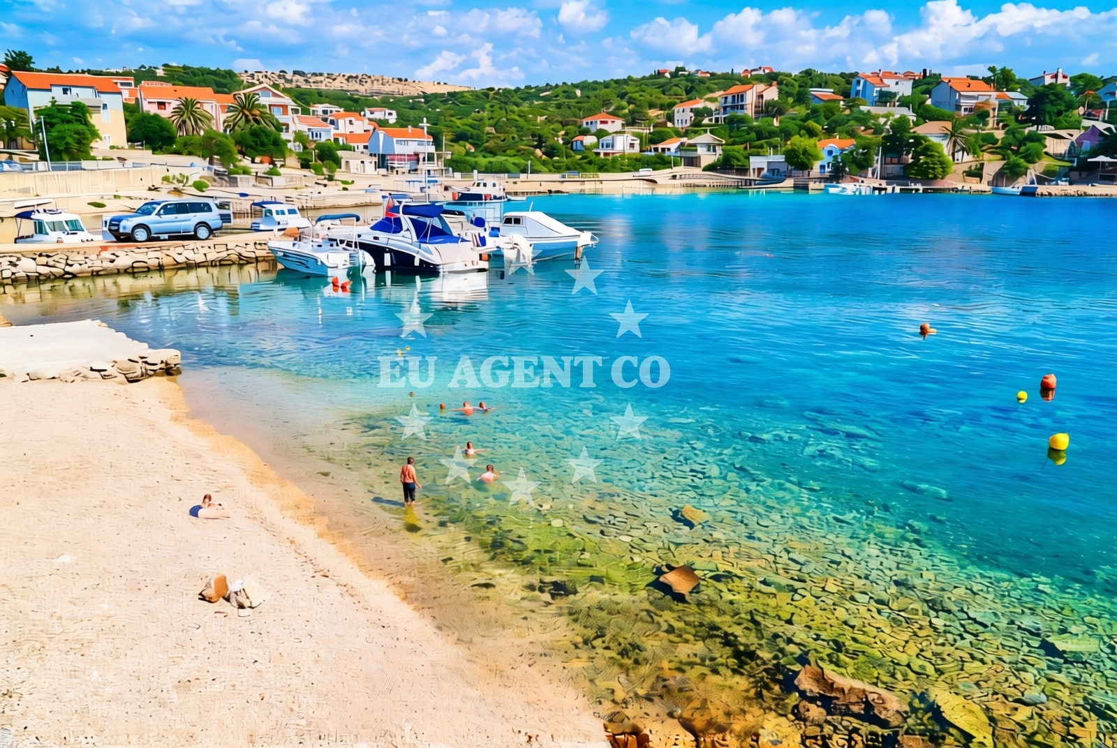
Jakišnica sjever lies on the northern coast of Pag Island, a windswept Adriatic isle known for its salt pans, limestone cliffs, and sparse vegetation. This 40-meter beach stretches along a rocky shoreline composed of gravel and concrete slabs, offering a stark contrast to the island's more popular sandy beaches. While not a traditional sunbathing spot, its unique surface and location make it a point of interest for those exploring Pag's rugged coastline.
About this beach
Jakišnica sjever, Jakišnica (Pag)
Beach: Jakišnica sjever
Location: Jakišnica (Pag)
Characteristics and facilities
Gravel, concrete / stone slabs
40 m
Beach character
The beach's composition of gravel and concrete slabs defines its character. At 40 meters in length, it is relatively short and may be more suited to walking or casual exploration than extended sunbathing. The absence of natural sand or fine pebbles suggests it is likely used for local access rather than tourism. Its position on Pag's northern shore means it faces open waters, potentially exposing it to stronger waves during certain weather conditions.
Swimming and shore
Swimming conditions are not explicitly documented for this beach. Given Pag's reputation for strong coastal currents and rocky shorelines, caution is advised. The gravelly substrate may make wading uncomfortable, and the beach's orientation could lead to unpredictable wave patterns. Visitors should assess water conditions carefully before entering.
Facilities and activities
No facilities are listed in the beach's authoritative records. The lack of structured amenities suggests it is not a primary tourist destination. However, Pag Island's broader context offers nearby options: the town of Pag has basic services, while Zadar, approximately 30 kilometers east, provides museums, restaurants, and historical sites like the Roman amphitheatre.
Access and location
Jakišnica sjever is located on Pag Island, part of Zadar County in Croatia's northern Dalmatia region. The island is accessible by ferry from Zadar, with routes operated by companies like Jadrolinija. Pag's geography is defined by its salt pans, which have shaped the island's economy for centuries. The beach's northern position places it near the boundary of the Adriatic Sea and the Pag saltworks, creating a unique interplay between natural and human-modified landscapes.
What to expect
Visitors should expect a beach that prioritizes accessibility over comfort, with its gravel and concrete surface suitable for walking but less ideal for sunbathing. The 40-meter length means it is not a destination for extended relaxation. Those visiting may find value in the beach's proximity to Pag's salt pans and its role as a minor access point for local travel. The surrounding coastline offers opportunities for hiking or exploring Pag's distinctive karst terrain.
Practical tips
Wear sturdy footwear to navigate the gravel surface comfortably. Check local tide schedules, as the beach's exposure to open waters may affect accessibility during high tide. For broader exploration, consider visiting Zadar, which is reachable by ferry and offers cultural and historical attractions.
Exploring the coast by yacht
Pag Island is a popular sailing destination in the Adriatic, with its sheltered bays and clear waters attracting charter yachts. While Jakišnica sjever itself is not a marina or anchorage, the nearby town of Pag has limited docking facilities. For yacht charter guests, the surrounding area includes the Zadar archipelago, which offers a network of anchorages and marinas. To explore availability for sailing in this region, use the Yacht Search tool.
Pag Island's Unique Environment
Pag's landscape is shaped by its salt pans, which cover much of the island's interior. These pans, some of the oldest in Europe, have influenced the local economy for millennia. The beach's northern location places it near these saltworks, creating a distinctive coastal environment. The island's lack of freshwater and sparse vegetation contribute to its arid, otherworldly appearance, which is visible from the shoreline.
Anchorages in the surrounding area
Anchorages near Jakišnica sjever include Uvala Jakisnica and several others on Pag and Rab.
- Anchorage — jakisnica — pag — 0.4 NM from beach
- Anchorage — potocnica — pag — 2.1 NM from beach
- Anchorage — dabova — pag — 3.7 NM from beach
- Anchorage — rab — 4.3 NM from beach
- Anchorage — skunca — pag — 4.8 NM from beach
- Anchorage — rab — 4.8 NM from beach
- Anchorage — novalja — pag — 5.2 NM from beach
- Mag — misnjak — rab — 5.6 NM from beach
Distances are straight-line geographic distances, not sailing routes.
Mooring buoys in the surrounding area
Mooring buoys near Jakišnica sjever include the jetty at Jakisnica and others on Pag and Rab.
- Jetty — jakisnica — pag — 0.4 NM from beach
- Jetty — tovarnele — pag — 3.4 NM from beach
- Jetty — tovarnele — pag — 3.4 NM from beach
- Jetty — rab — 4.4 NM from beach
- Drljanda — stara novalja — pag — 4.8 NM from beach
Distances are straight-line geographic distances, not sailing routes.
Marine fuel stations
- Ina — rab — 6.9 NM from beach
- Ina — mali losinj — 15.0 NM from beach
- Adria Oil — mali losinj — 15.0 NM from beach
- Tifon — nerezine — losinj — 16.3 NM from beach
Distances are straight-line geographic distances, not sailing routes.
Harbours in the surrounding area
Harbours in the surrounding area include Jakišnica, Tovarnele, and Stara Novalja on Pag, as well as Mišnjak and Jablanac on Rab.
- Jakišnica — jakisnica — pag — 0.0 NM from beach
- Tovarnele — pag — 3.4 NM from beach
- Stara Novalja — pag — 5.1 NM from beach
- Mišnjak — misnjak — rab — 5.1 NM from beach
- Pičuljan dock — barbat — rab — 5.7 NM from beach
- Jablanac — 6.3 NM from beach
Distances are straight-line geographic distances, not sailing routes.
Marinas in the surrounding area
Marinas in the surrounding area include ACI Marina Rab, ACI Marina Supetarska Draga, and Y/C Marina Mali Lošinj.
- ACI Marina Rab — 6.8 NM from beach
- ACI Marina Supetarska Draga — rab — 9.8 NM from beach
- ACI Marina Šimuni — simuni — pag — 12.9 NM from beach
- Y/C Marina Mali Lošinj — mali losinj — 14.8 NM from beach
- Marina Lošinj — mali losinj — 15.0 NM from beach
Distances are straight-line geographic distances, not sailing routes.
Restaurants near the beach
Restaurants near Jakišnica sjever include Sidro and Toni in Jakisnica, and others in Tovarnele.
- Sidro — jakisnica — pag — 0.0 NM from beach
- Toni — jakisnica — pag — 0.2 NM from beach
- Restaurant — jakisnica — pag — 0.3 NM from beach
- Jadran — tovarnele — pag — 3.4 NM from beach
- Pizzeria Haluga — tovarnele — pag — 3.5 NM from beach
Distances are straight-line geographic distances, not sailing routes.
Navigation guides for the surrounding area
Navigation guides for the surrounding area include Uvala Jakisnica and Jablanac, with distances from 0.24 to 6.36 nautical miles.
- Uvala Jakisnica — 0.2 NM from beach
- Uvala Misnjak — 5.4 NM from beach
- Uvala Zavratnica — 6.3 NM from beach
- Jablanac — 6.4 NM from beach
- Rab — 6.9 NM from beach
Distances are straight-line geographic distances, not sailing routes.
Yachts from nearby departure bases
Yachts from nearby departure bases include those based in Rab ACI Marina, Novalja, Šimuni, and Mali Lošinj.
Sailing yachts
- First 45 (Egeria) — Šimuni Kolan ACI Marina — 12.8 NM from departure base to beach
- First 31.7 (Ruta) — Mali Lošinj — 14.8 NM from departure base to beach
- Elan 45 Impression (Jackpot) — Mali Lošinj — 14.8 NM from departure base to beach
- Bavaria 46 Cruiser (DEA) — Mali Lošinj — 14.8 NM from departure base to beach
Motor yachts
- Absolute 50 Fly (Acrobat) — Rab ACI Marina — 6.8 NM from departure base to beach
Motor boats
- Balt 818 Titanium (Valentina) — Novalja — 6.9 NM from departure base to beach
- Balt 818 Titanium (Valentina 2) — Novalja — 6.9 NM from departure base to beach
- Merry Fisher 895 (Zablace) — Mali Lošinj — 14.8 NM from departure base to beach
- Barracuda 530 RIB (Hvar) — Mali Lošinj — 14.8 NM from departure base to beach
- Galeon Galia 630 (Kali) — Mali Lošinj — 14.8 NM from departure base to beach
Distances are straight-line geographic distances, not sailing routes.